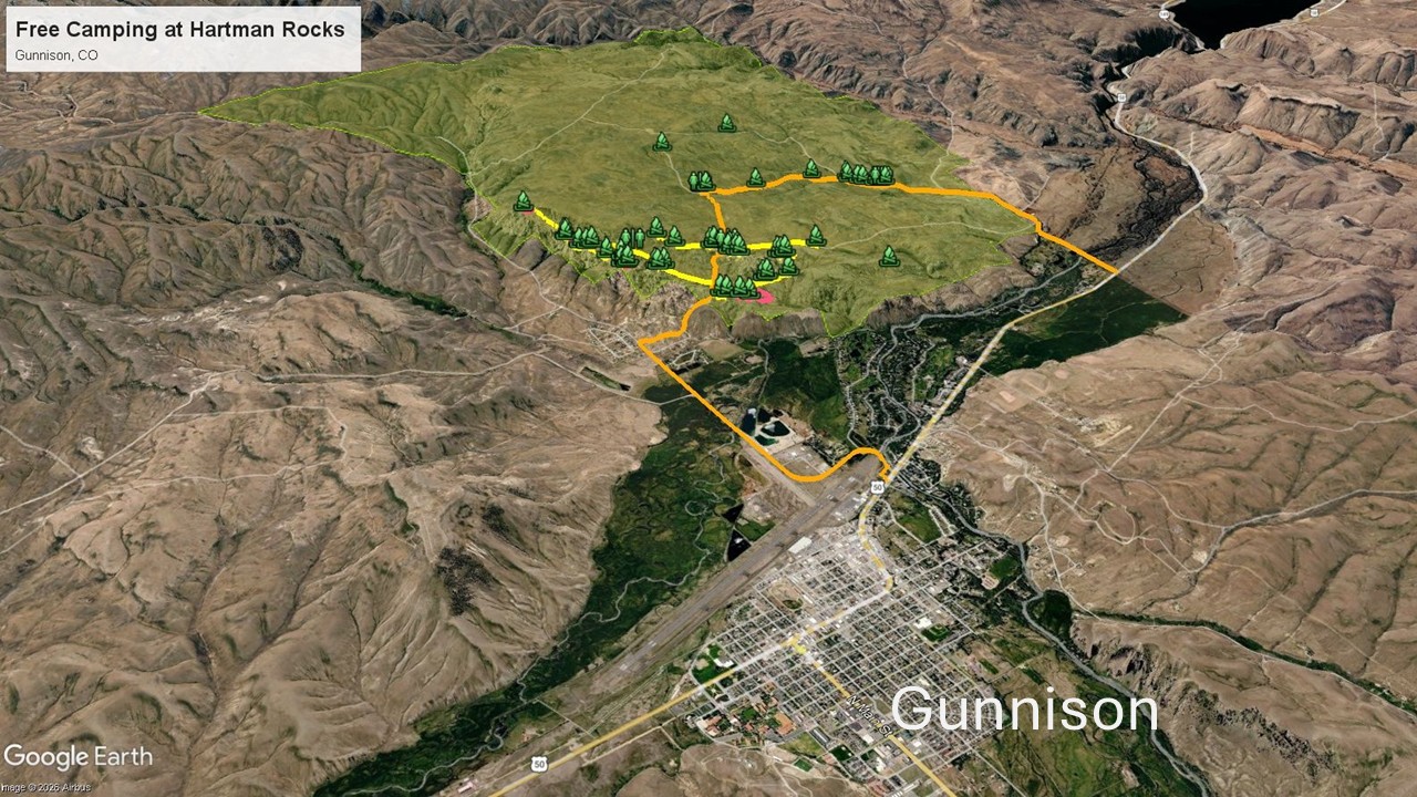
This is a comprehensive guide to free dispersed camping at Hartman Rocks near Gunnison in Colorado.
If you are traveling through the rugged heart of Colorado, finding the perfect balance between jaw-dropping scenery and accessible, free boondocking can sometimes feel like a high-stakes guessing game. Enter Hartman Rocks Recreation Area.
Located just a few miles outside the historic outdoor hub of Gunnison, Colorado, Hartman Rocks feels less like a standard high-desert pitstop and more like an alien landscape dropped into the Rocky Mountains. Managed by the Bureau of Land Management (BLM), this 14,000-acre playground is famous for its rolling sagebrush hills punctuated by bizarre, wind-sculpted granite spires and ridges.
But for full-time road travelers, the real draw is the incredible—and entirely free—dispersed camping. Here is exactly what you need to know to find the right spot, protect the landscape, and navigate the terrain.
The Landscape: Understanding Your Dispersed Camping Options
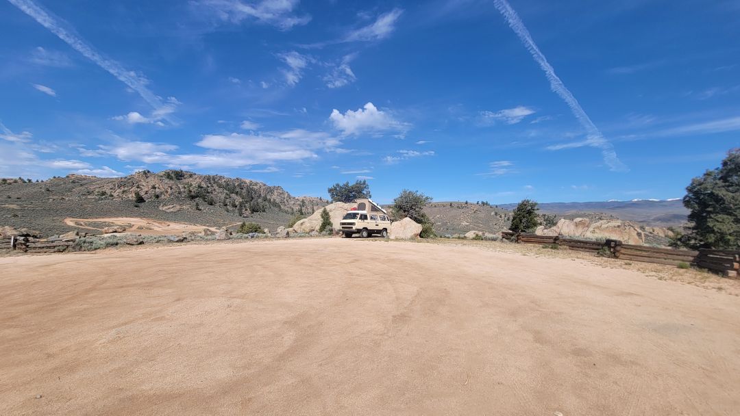
Camping at the popular northern section of Hartman Rocks isn’t a free-for-all; the BLM utilizes a designated dispersed camping policy. This means you cannot simply pull off anywhere and crush the brush; you must camp at one of the near 50 clearly marked, numbered sites scattered throughout the recreation area. Each site features a metal fire ring and enough cleared space for a setup, but they vary wildly in terms of accessibility.
Further south (south of Powerline Road), you can camp anywhere, but the normal BLM rules apply. Do not create new sites, keep your spot clean, 14-day stay limit, and so on.
When planning your stay, it helps to divide the recreation area into 3 distinct zones:
1. The Access Roads
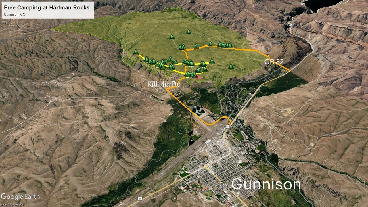
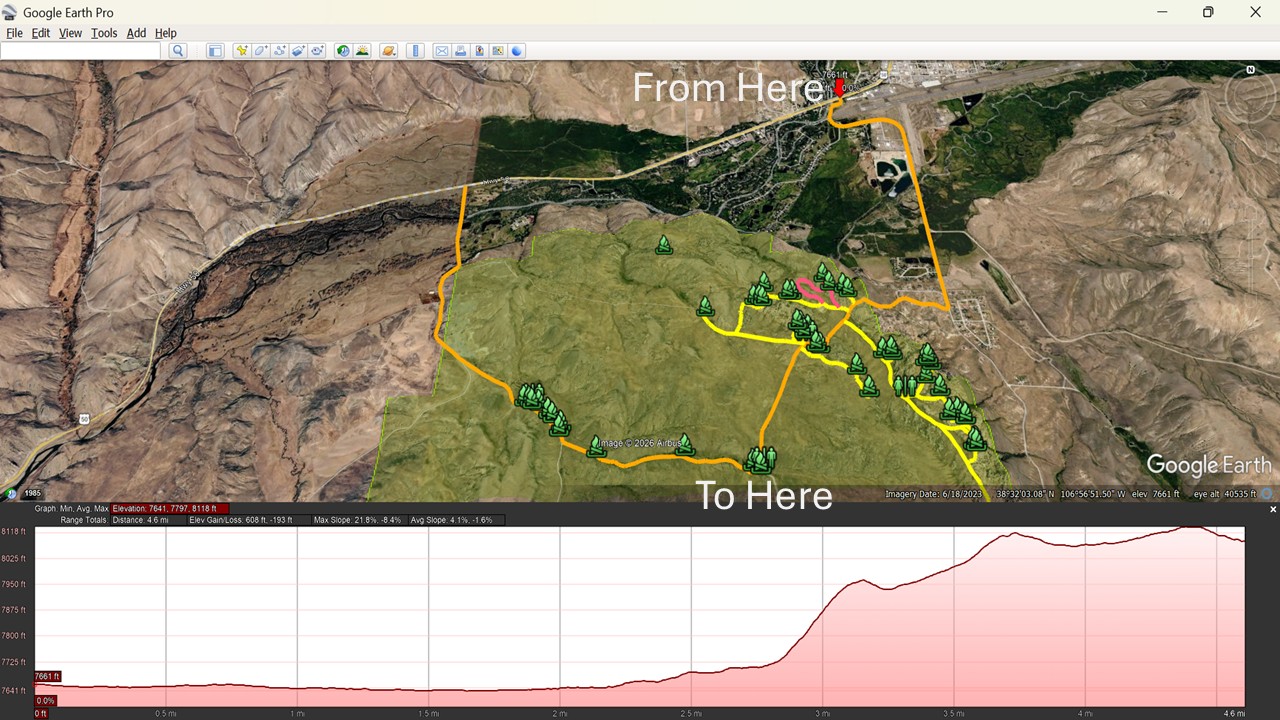
Quick and Steep – Kill Hill Road: From Gunnison, head 3 miles south on County Road 38 (Gold Basin Road). Hartman Rocks Base Area parking lot will be located on the west side of County Road 38.
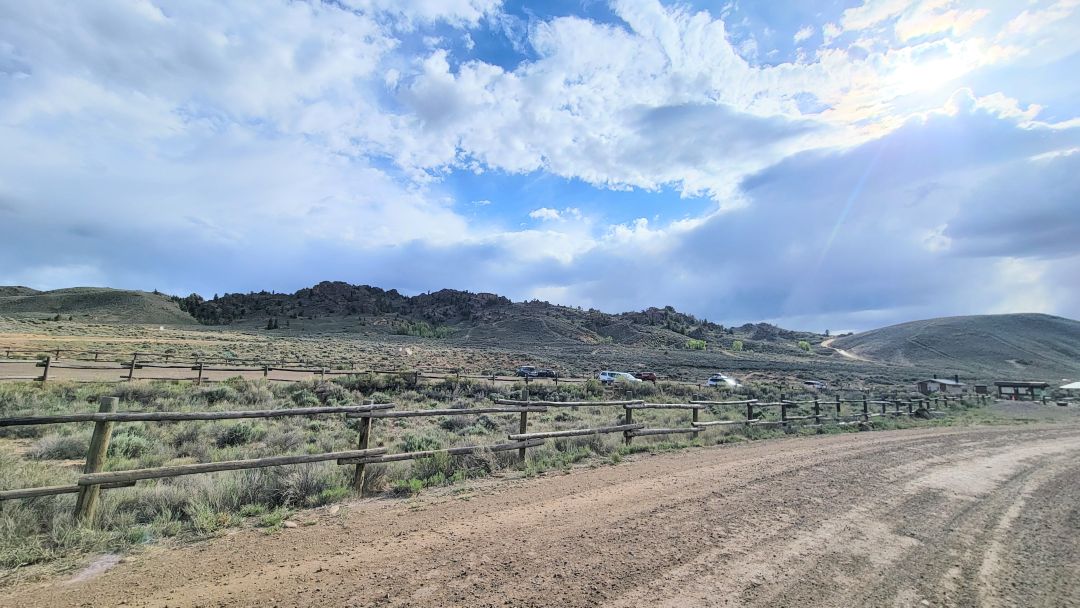
Then make your way up the very steep Kill Hill dirt road. Do not attempt this road when pulling a trailer unless you are confident in your vehicle’s towing capabilities. We suggest stopping in the parking area and studying the access road before proceeding up the hill.
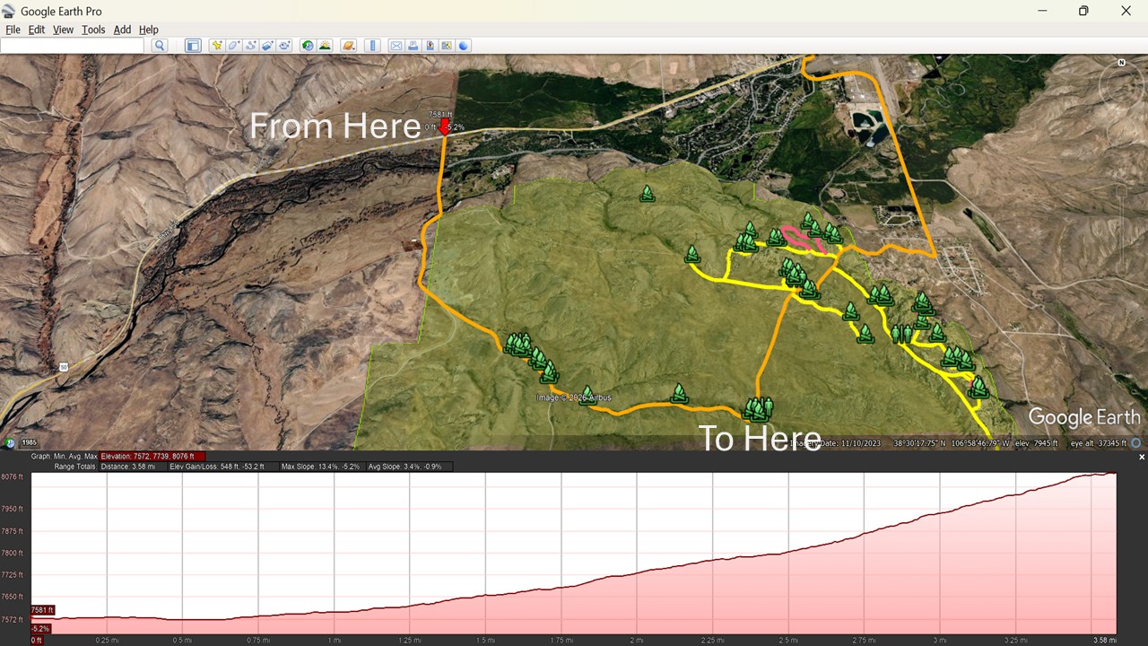
Long but Gradual – McCabes Road: Take State Highway 50 west for 4 miles and turn South on County Road 32. Continue south for 2 miles until you see a trail kiosk on BLM 3500. This road makes access to the Rocks area possible for just about any vehicle. Ideal for those planning to camp in the Low Basin area.
2. The Quiet Low Basins to the West
There are 12 designated camping sites in the Low Basins. These sites are scattered along BLM 3500 (the road is generally in good condition with some washboard sections).
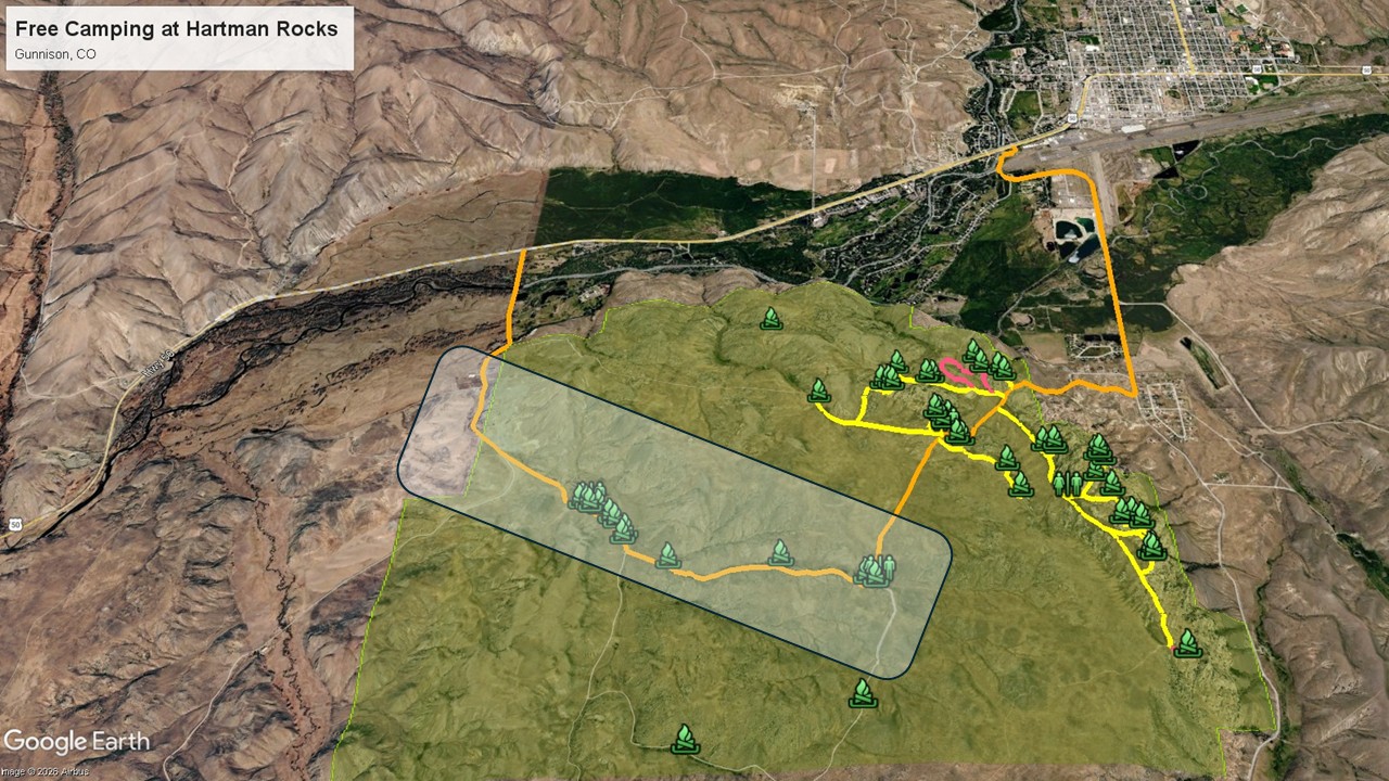
The first 8 sites are easy to access from CR 32, while the next 4 sites are further uphill but still very accessible with any kind of vehicle.
Generally speaking, we find these sites somewhat boring because they offer no views, are close to the road, dusty, and not private,
3. The Scenic Ridge Sites
These 35 sites are the most desirable for good reason. The views are spectacular, and thrill-seekers will love the proximity of the best hiking, biking, and 4WD trails. A few sites require a 4WD and several are very tight for trailers.
We like to divide the Ridge Area into 4 camping sections, each with its own character and challenges/rewards.
- Front Ridge North. 7 sites with two sites requiring 4WD due to the steep, rough access.
- Front Ridge South. 15 sites with two 4WD sites and one walk-in tent site. Great for rock climbers.
- Back Ridge North. 9 sites. Two sites are remote. The other 7 sites are practically next to a trail, so they are not private.
- Back Ridge South. 4 sites. Great views. Exposed to westerly winds. While flat, the road is rutted but doable in dry conditions. Very slippery when wet.
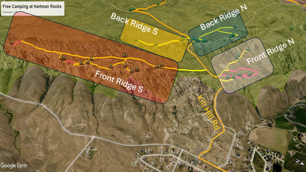
Kill Hill vs. McCabes — Which Road Is Right for You
This is the decision that matters most before you arrive, and getting it wrong with a trailer is a bad day.
Kill Hill Road is short and dramatic. The hill itself is steep, loose in spots, and unforgiving if you hesitate mid-climb. Solo vehicles and smaller trailers handle it fine in dry conditions, and the payoff is direct access to the Ridge sites without the long approach. But if you have any doubt about your tow vehicle’s power, your trailer’s length, or the road conditions after recent rain, stop at the base parking area and walk it first. We mean that literally — get out and look at it before you commit.
McCabes Road via CR 32 is the answer for everyone else. It adds distance but removes risk. The grade is gentle, the surface is manageable for any vehicle, and it connects naturally to the Low Basins sites. If you are in a large rig, arriving after dark, or simply not interested in testing your nerves on a steep dirt hill, McCabes is the right call without qualification.
A simple rule: if you are pulling anything over 25 feet or have any hesitation at all, take McCabes. The Ridge sites are accessible from either direction once you are up top.
Important GPS Locations
- Kill Hill Road Entrance – 38°30’20.90″N, 106°56’25.40″W
- McCabe Road Entrance – 38°31’17.52″N, 106°59’44.14″W
A few basic rules and amenities
You must not disperse camp longer than 14 days in any 30-day period.
Rangers patrol the area at least once a week. It was very clean during our stays and we felt safe and comfortable.
ONLY camp in designated sites. We saw folks trying to overnight at trailheads and they were asked to leave.
Pack in and pack out. There are a few trash bins at the parking area at the Base below Kill Hills Road.
Every section (except Front Ridge N) has a pit toilet with toilet paper. Do NOT dig holes to bury your waste and please do not use the rocks as your personal toilet.
Hide your dog poop, please! The next camper does not wish to step in dog poop upon arrival.
No water near the camping areas. There is a well-pump at the Base but the water had a rusty metal taste when we tried it.
We got water from the faucet outside the bathrooms at the Visitor Center in Gunnison. We disposed of our trash in dumpsters next to the dog park in town.
Please read the Colorado BLM Camping regulations sheet before visiting Hartman Rocks.
The Front Ridge North Dispersed Camping Area
When you reach the top of Kill Hill Road, at the sign board, look north to see this area and its 7 sites.
Front Ridge North is the quieter, more private alternative to the busier South section — and for campers who prioritize views and breathing room over trail access, it is arguably the better choice.
The seven sites here are more spread out than anywhere else on the Ridge, which means you are far less likely to feel like you are sharing a parking lot with your neighbors. The natural spacing between sites — granite formations, scrub, and open ground separating most of them — gives Front Ridge North a genuine sense of solitude that the more densely arranged South section cannot always deliver.
The views are the other reason to choose this area. Several sites sit at angles that open directly onto the valley below, with Gunnison visible in the distance on clear days. If waking up to that kind of panorama matters to you, this section rewards the choice.
The tradeoff is access. Two of the seven sites — KH4 and KH5 — require 4WD due to steep approaches, and a few others are not suitable for larger trailers. Study the map carefully before committing to a specific site, and note that KH8 is walk-in only. For trailers, KH3 and KH9 are your most reliable options, with KH9 being the standout — large, level, private, and well-positioned for the valley views this section is known for.
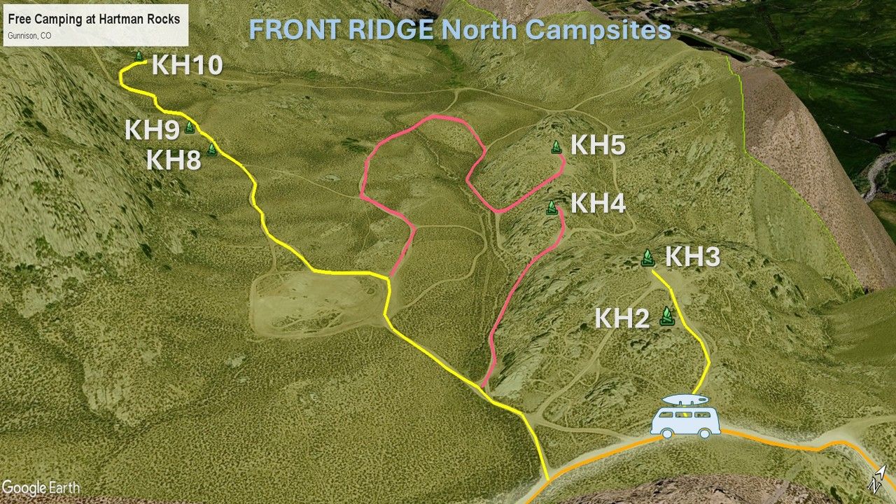
The YELLOW roads are 2WD while the RED roads have 4WD recommended for the steep uphills near the sites.
KH2 – Popular site between rocks. Not level. Good for smaller trailers. A busy loop.
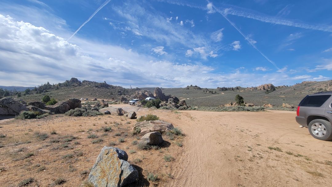
KH3 – Very popular site next to a trailhead, so privacy is an issue. Level. Good for trailers.
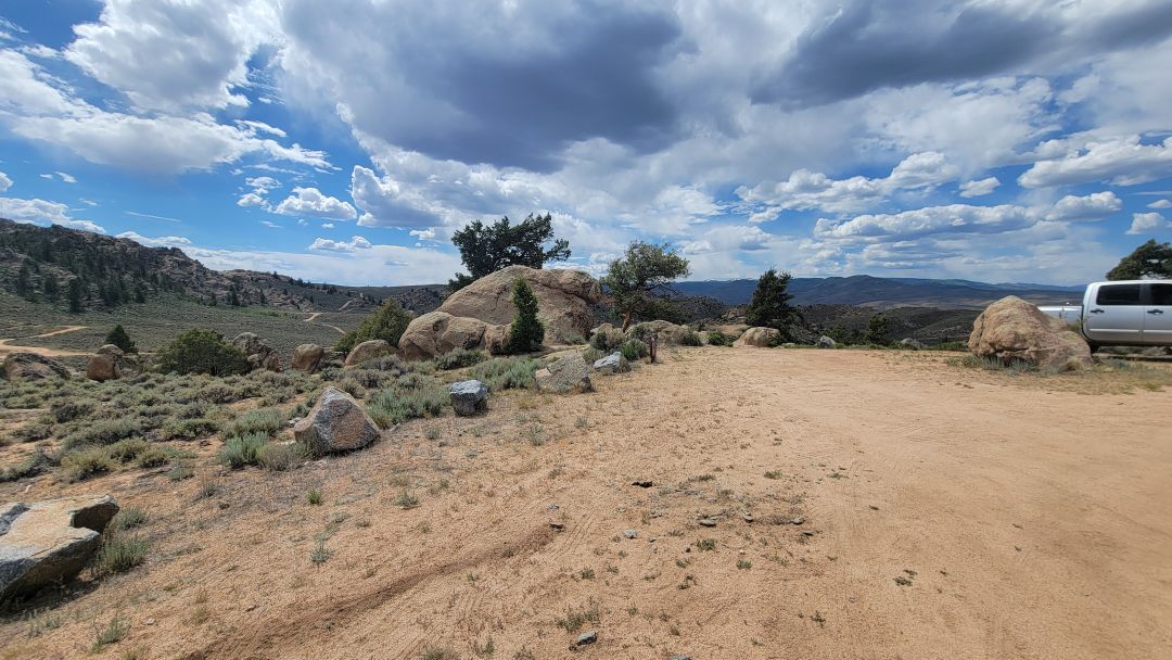
KH4 – Popular site between rocks. Not level. 4WD recommended due to steepness at the top. Trailers not recommended. Study the map for road access.
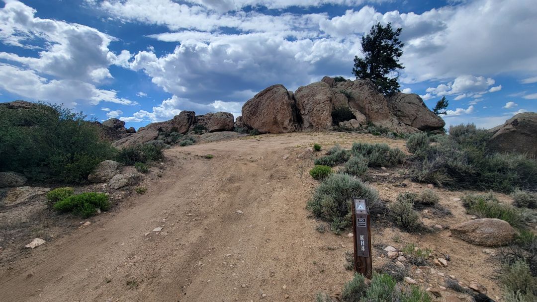
KH5 – Large exposed site on a steep hill. Level. 4WD recommended due to steepness. Study the map for road access.
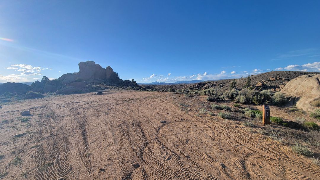
KH8 – Not for trailers. Small site. Tents, vans, cars. Walk-in site with fire pit hidden in trees. Shady.
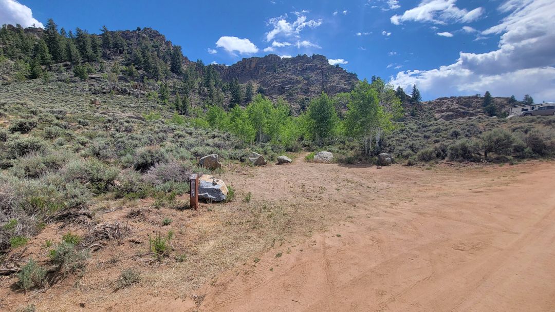
KH9 – Excellent site for trailers. Private. Large and level. Great views
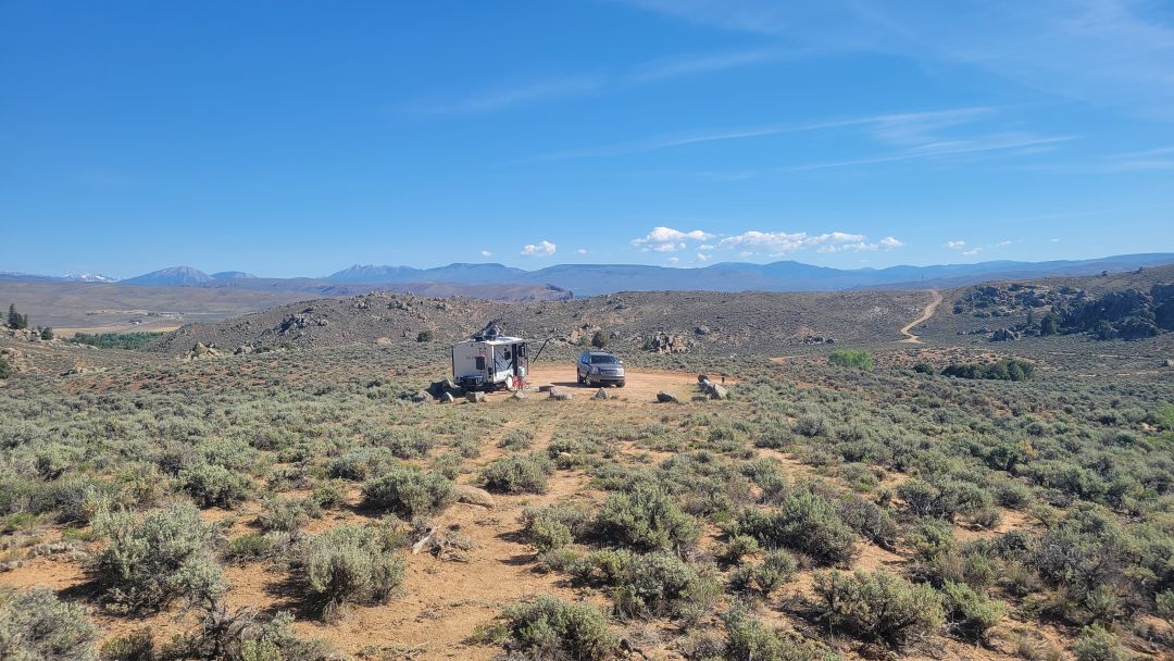
KH10 – Nice but not level. Close to the road but it is not a busy road.
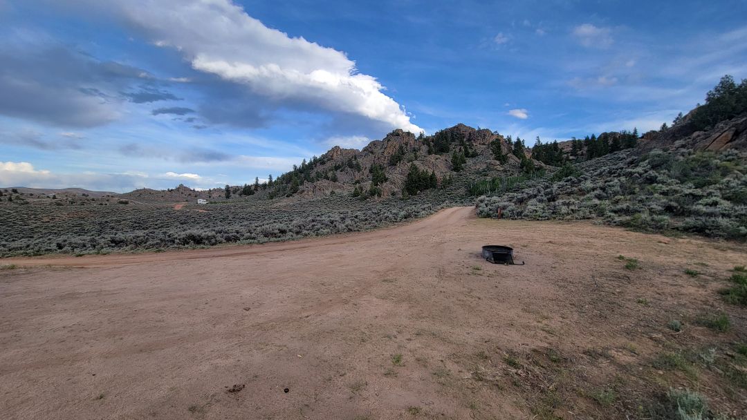
The Front Ridge South Dispersed Camping Area
When you arrive at the sign at the top of Kill Hill Road, take the second road to the left. It is a good road for all vehicles.
Front Ridge South is the most popular camping area at Hartman Rocks, and that popularity is both its greatest asset and its most important caveat.
The draw is obvious. The views are spectacular, the rock climbing is right there, and the density of hiking and biking trails makes this the logical base camp for anyone who wants to spend their days active and their evenings watching the light change over the formations. If that is your trip, this section delivers.
But popular means competitive and crowded, and Front Ridge South has some honest limitations worth understanding before you arrive. With 15 sites spread across a relatively concentrated area, many of them sit in clusters where you will be close enough to your neighbors to hear their conversations. Several sites double as informal parking areas for day users, meaning strangers will pull up next to your rig throughout the day to access nearby trails. On weekends and holiday weeks, finding an open site that actually fits your vehicle can be a real challenge.
Larger rigs will also find their options limited here. Most of the Front Ridge South sites are better suited to vans, cars, and smaller trailers. RD4 and RD10 are the exceptions — both are large and flat enough to accommodate bigger setups. Three sites require 4WD, and RD1 is walk-in tent only.
If you have flexibility on timing, arriving Thursday or early Friday morning dramatically improves your odds. If you are in a large rig or need a guaranteed quiet stay, Front Ridge North or the Low Basins will serve you better.

Just follow the YELLOW roads for easy access to most of the sites.
BB3 – Large level site between two roads. No privacy, dusty, and noise from the busy road.
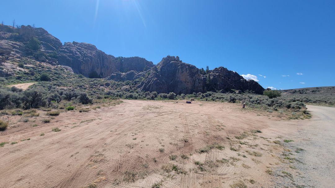
BB2 – Small narrow site best for cars, vans and tent.
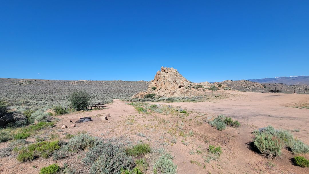
BB1 – Popular site. Nicely tucked away behind the rock but not level. Best approach is from the south via site BB2.
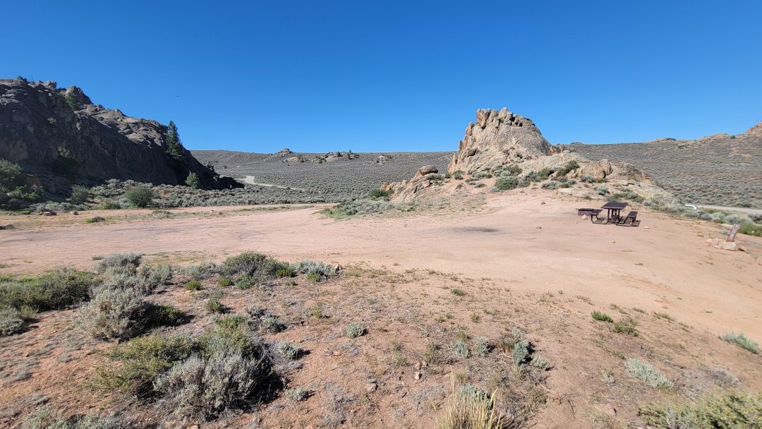
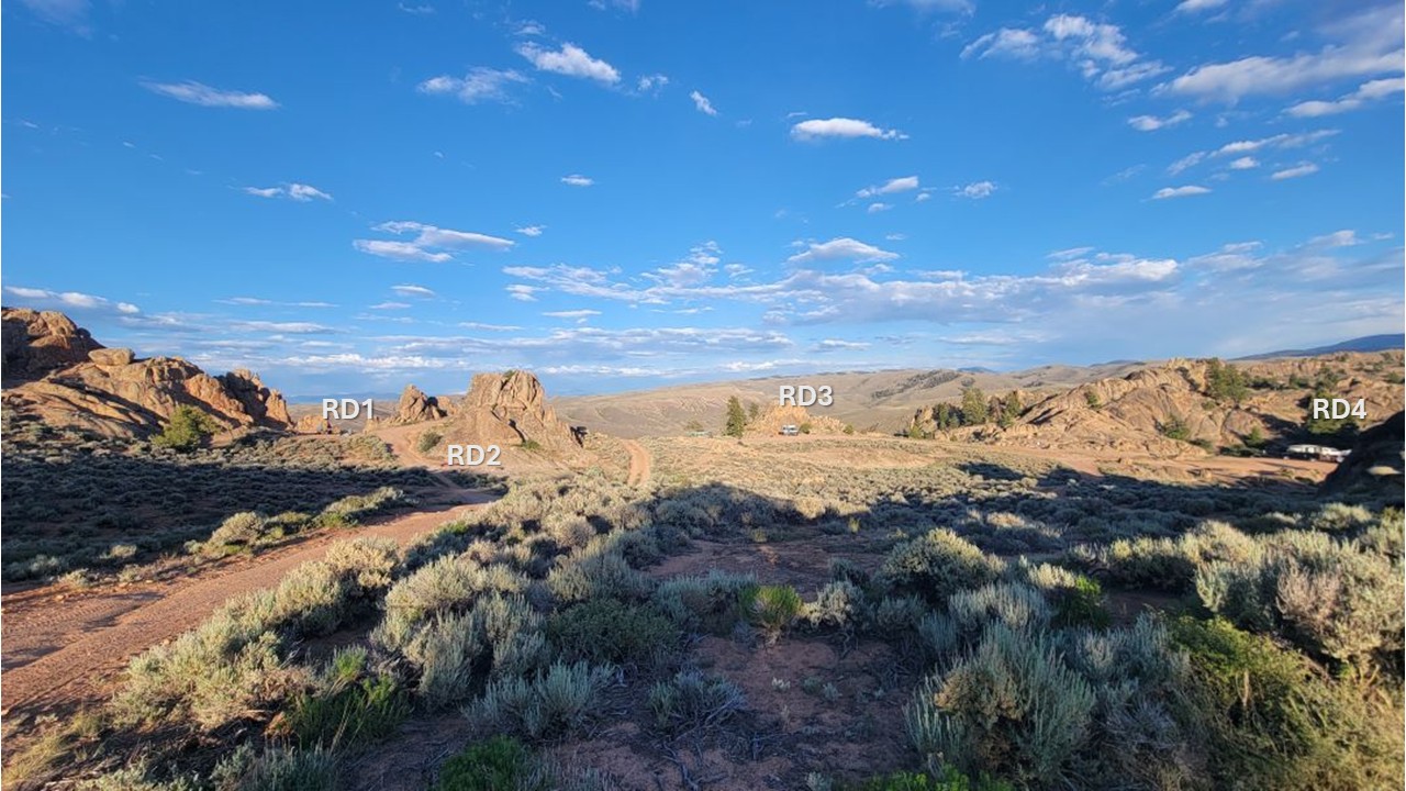
RD4 – Popular. Very large site. Level. Gets a lot of traffic as folks search for sites further up the road.
RD3 – Popular. Large narrow flat site but not private because day users think it is a parking area.
RD2 – Small site best for tents or 4WD vehicles. Not level. Close to RD1.
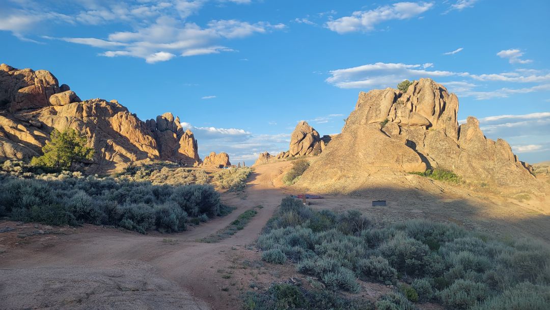
RD1 – Small site for tents. Park elsewhere. Great views.
RD5 – Prime site for rock climbers! Large and level. Right across from the premier climb area used by adventure companies. If you enjoy company, then this is your site. May have folks parking next to your rig.
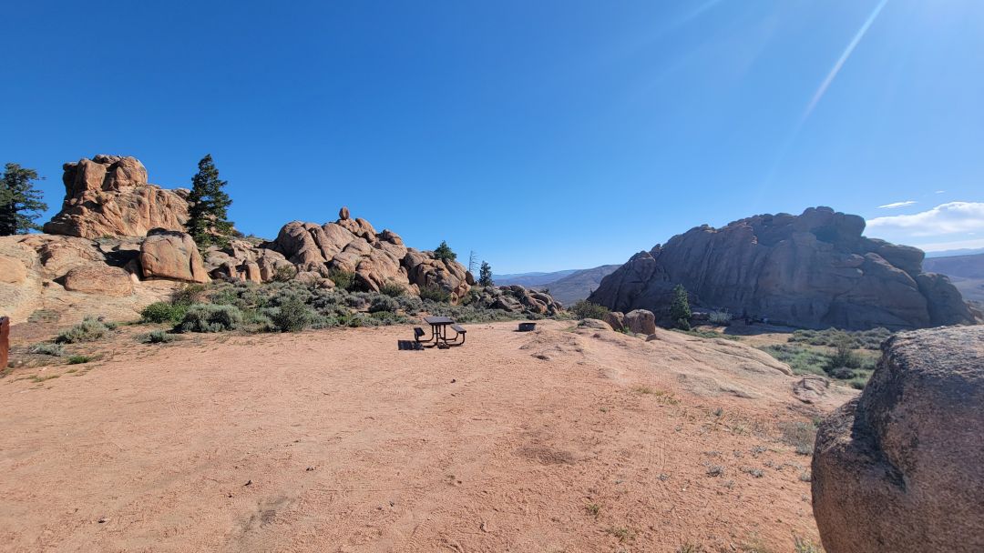
RD6 – Very popular. Private but busy with folks having to turn around. Uphill approach then somewhat level. Great views.
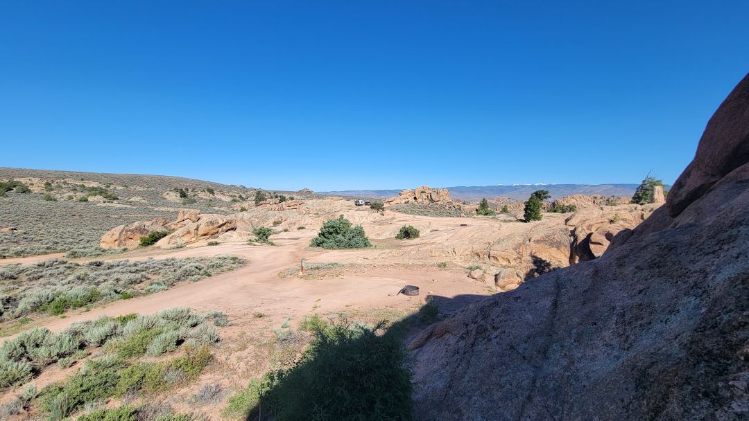
RD7 – Popular. Mostly level. Constant traffic as folks need to turn around near the site.
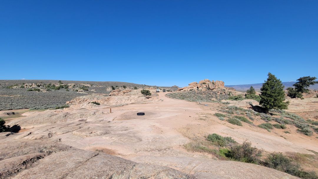
RD8 – Smaller site. Not level. Best for vans or cars.
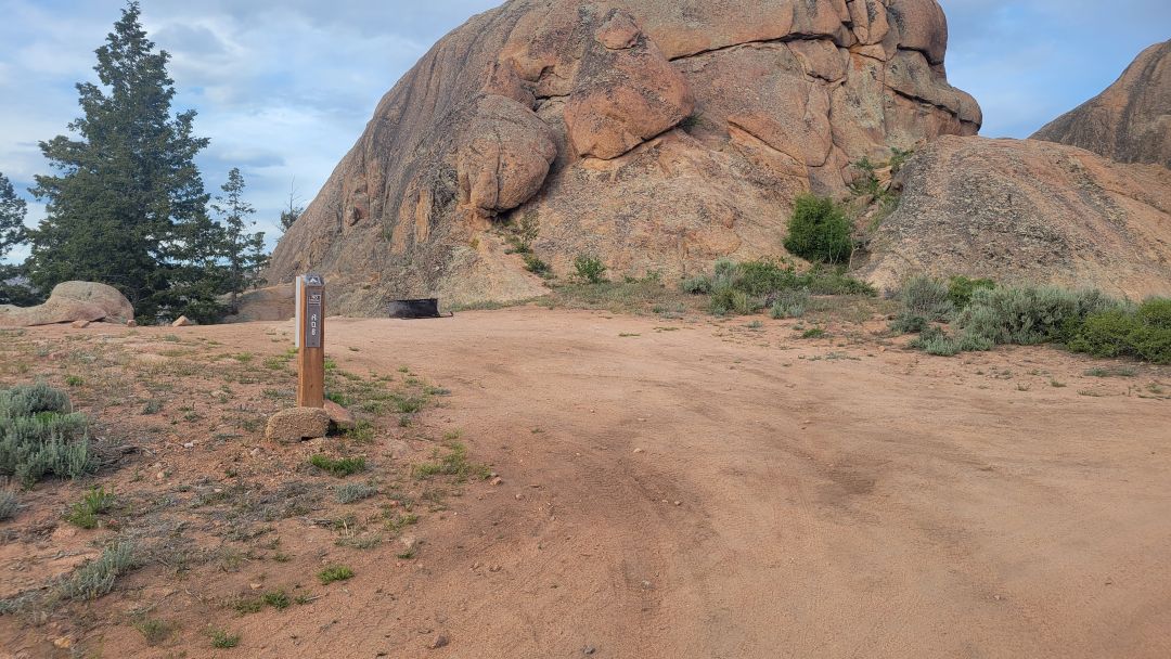
RD9, RD10, RD11 – These 3 sites are best approached from the south. Close to each other. RD9 and RD11 are smaller. RD10 is very large and flat (ideal for huge rigs).
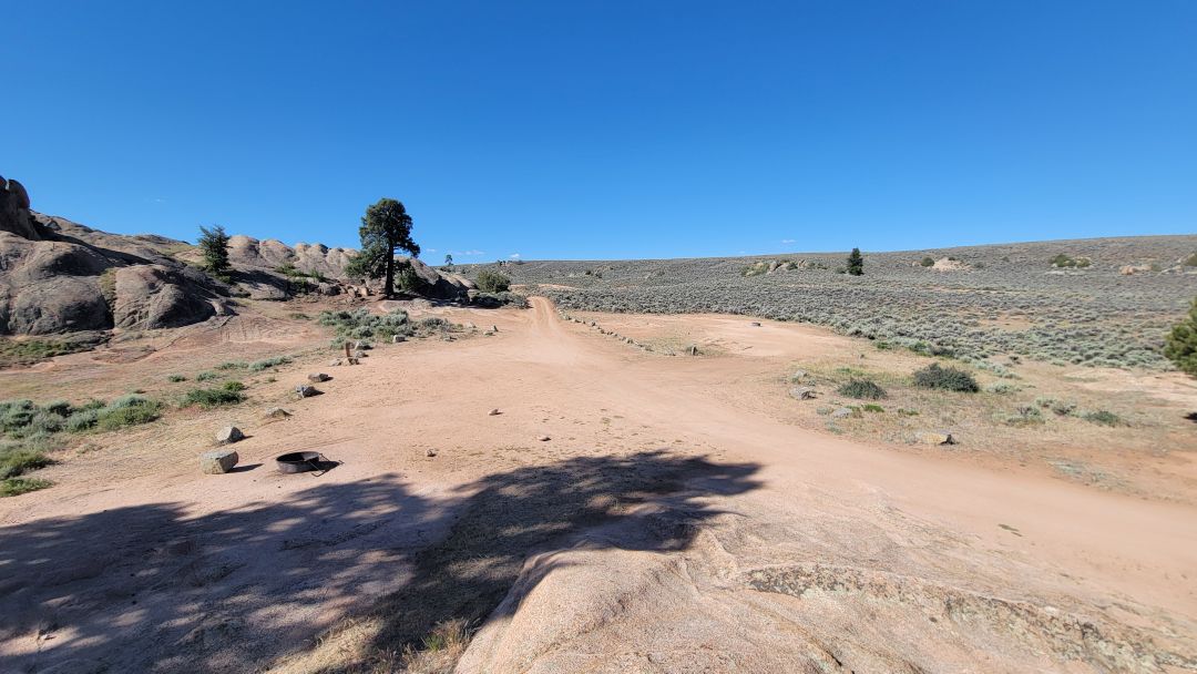
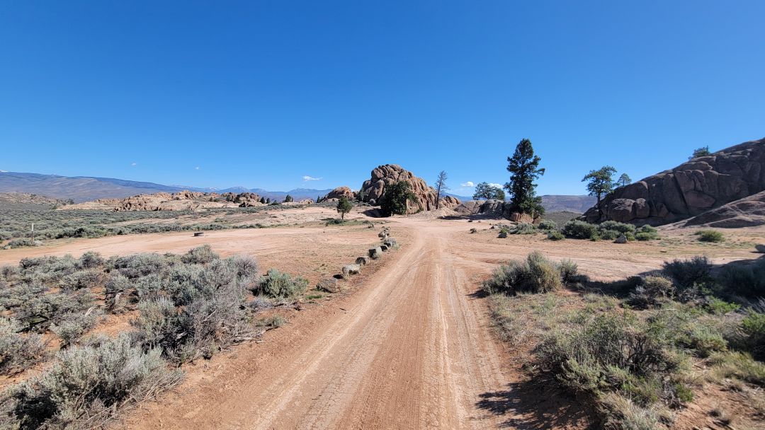
RD12 – 4WD only. Very rocky approach road. Private with great views. Large level site.
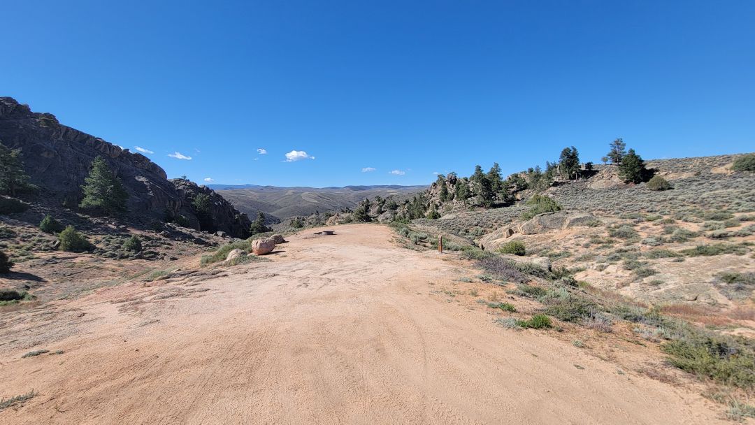
The Back Ridge North Dispersed Camping Area
The Back Ridge North sites occupy one of the more scenic corners of Hartman Rocks, tucked between granite formations with access to the popular “Around the Rocks” trail running directly alongside most of them. That trail relationship defines everything about this area — it is both the main draw and the main limitation.
For campers who want to roll out of bed and onto a trail, BTR2, BTR7, and BTR8 are hard to beat. The access is straightforward on 2WD roads, the views are genuine, and the rock formations give the area a sheltered, immersive feel that the more exposed Ridge South sites lack.
The catch is privacy. The “Around the Rocks” trail is one of the most used routes in the recreation area, which means steady foot and bike traffic past several sites throughout the day. BTR3, BTR4, BTR5, BTR6, and BTR7 in particular sit close enough to the trail that you will feel like you are camping in a corridor during busy periods. If solitude matters to you, push further to BTR8 or BTR9 — both reward the extra distance with noticeably more seclusion.
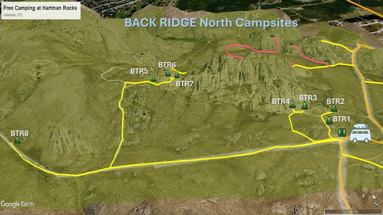
Just follow the YELLOW roads for easy access to these sites.
BTR1 – Small site near the toilets. Van, car, small trailer. Not private due to site BTR2 next door.
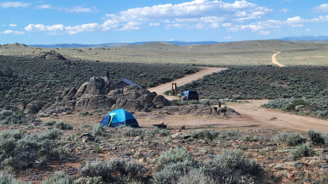
BTR2 – Large, level and very popular. Can be windy. Great views. Toilet nearby.
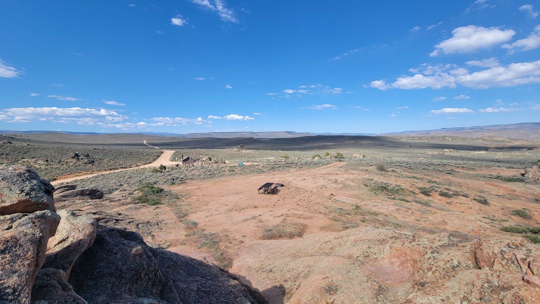
BTR3 – Nice level site if you ignore the occasional 4×4 traffic near the site. Can be windy from the west. Approach the site using the yellow roads on our map.
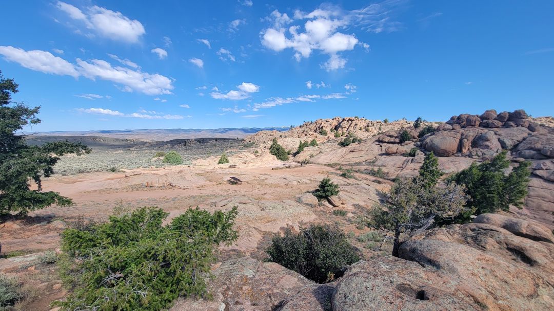
BTR4 – Interesting site because of a difficult 4×4 track right next to it. Not private for this reason and because folks park behind the site to access other trails.
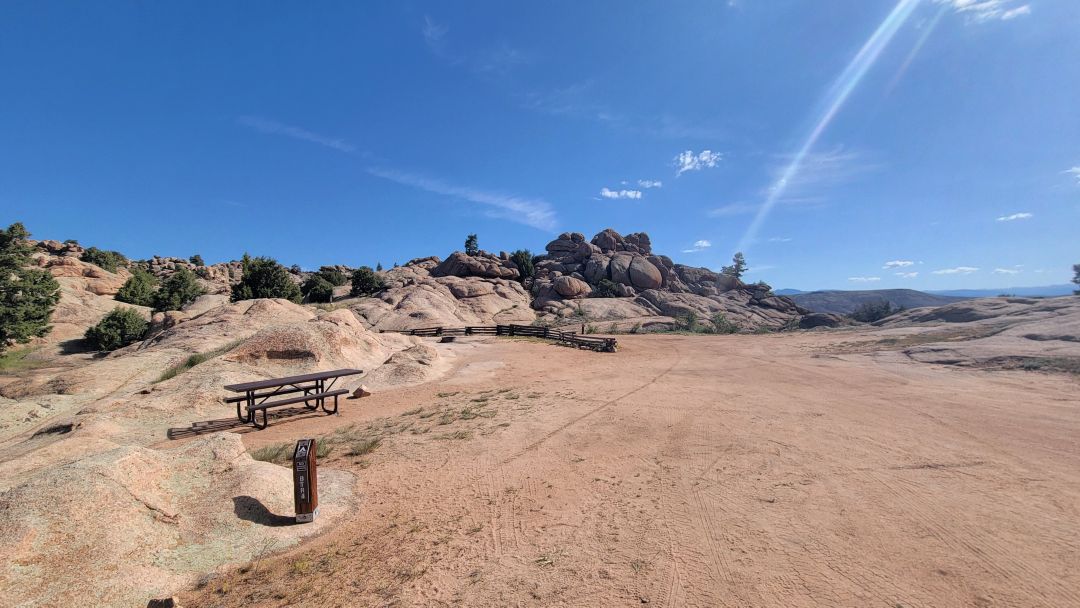
BTR5 – These next three sites are close to one another but very popular thanks to their proximity to the trails. BTR5 gets quite a bit of traffic as folks drive by to look at 6 and 7. Otherwise, it is not a bad site.
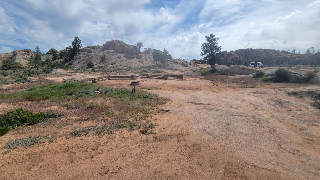
BTR6 – Rocky, somewhat unlevel site between BTR5 and BTR7 so not very private.
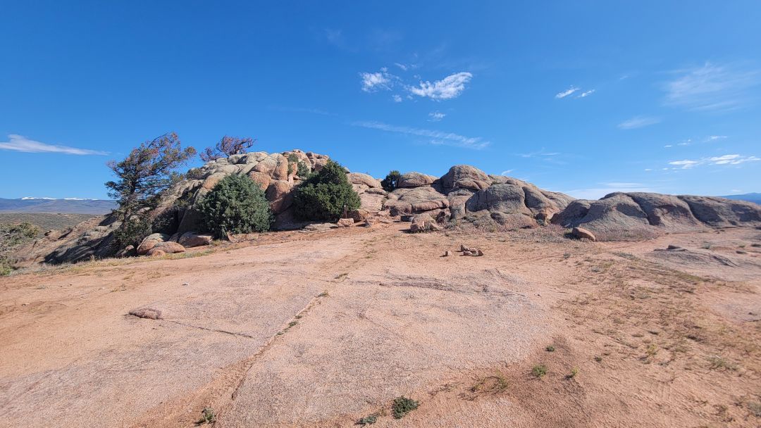
BTR7 – The best of these these 3 sites. Large and level. Great views. Unfortunately, folks drive up here and think it is a shared site, so they end up staying. Not private when this happens. Close to BTR6 on the left but you can park way to the right.
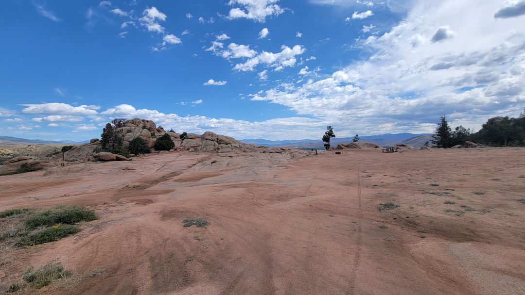
BTR8 – Very private site next to the rocks. Large. Road can be rutted.
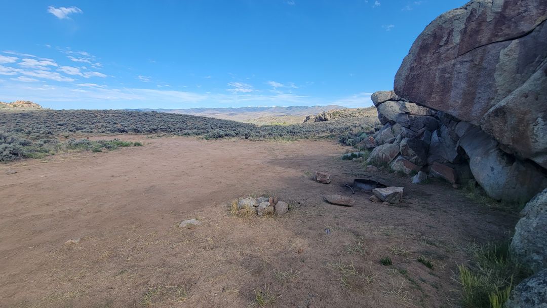
BTR9 – Not shown on map but further down the road. Very secluded.
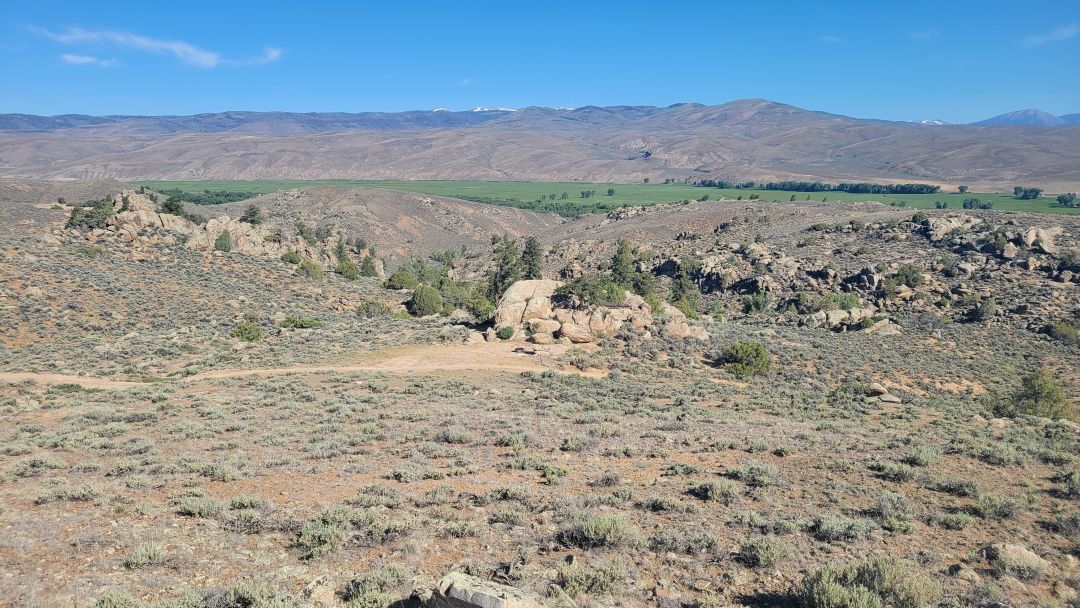
The Back Ridge South Dispersed Camping Area
Back Ridge South is the most exposed and most dramatic camping area at Hartman Rocks — four sites on an open ridge with some of the best views in the entire recreation area. Whether that tradeoff works for you depends entirely on how you feel about wind and road conditions.
The views are not hyperbole. These sites sit high enough and open enough that the panorama stretches well beyond anything the more sheltered sections offer. If you are chasing a sunset camp or want to fall asleep looking at genuine big-sky scenery, Back Ridge South delivers that in a way the other sections simply cannot.
The wind is the price. Strong westerly winds hit this ridge almost daily, and there is nothing to break them. For tent campers, this is a serious consideration. For van and trailer campers, it means a rattling, whistling night that wears on you by morning. A few calm evenings happen, but plan for wind and be pleasantly surprised if it doesn’t show up.
The access road adds another layer of commitment. The approach is rutted dirt that handles reasonably well in dry conditions — slow and deliberate, but manageable. In wet conditions it becomes a different road entirely. Mud, slip, and the very real possibility of getting stuck mean that if there is any rain in the forecast, or if the road looks soft when you arrive, turn around. It is not worth the risk.
For the right camper on the right day — dry road, high wind tolerance, and a genuine appetite for exposed ridge camping — Back Ridge South is the standout. Just go in with eyes open.
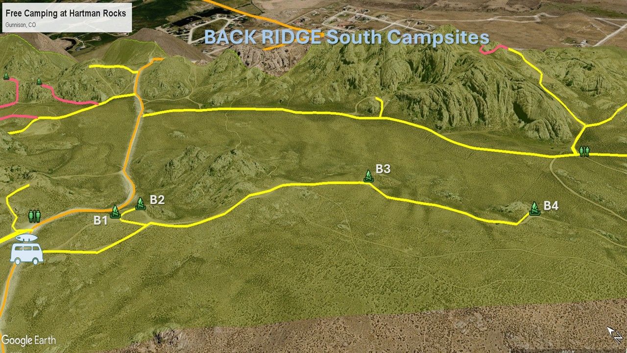
Just follow the YELLOW road for easy access to these sites. The road between B3 and B4 can be slippery when wet.
B1 – Very close to B2. Approach from the north as shown on the map. Strong wind at times. Great views. Long and narrow site. Not level.
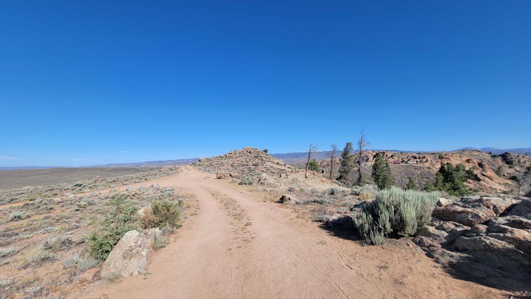
B2 – Very close to B1. Approach from the north as shown on the map. Strong wind at times. Smaller site. Great views. Not level.
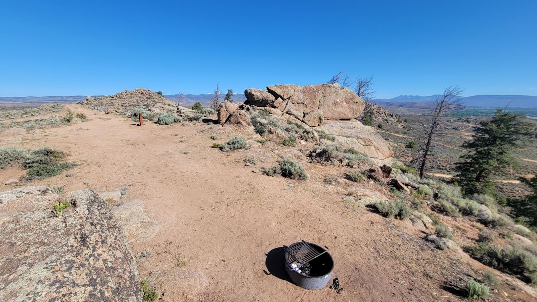
B3 – Great views. Tight turn in site but fine for backing in. Strong wind at times. Approach from the north as shown on the map. Road near the site is rutted.

B4 – Great views. Large site. Strong wind at times. Approach from the north as shown on the map. Road near the site is rutted.
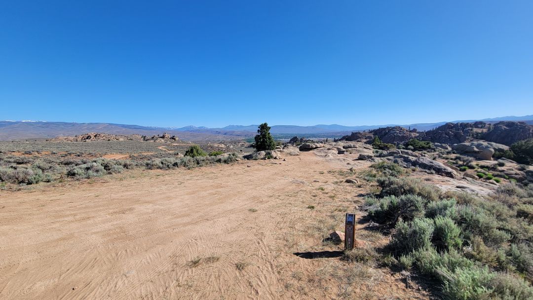
The Quiet Low Basins to the West Dispersed Camping
If the Ridge sites are Hartman Rocks at its most dramatic, the Low Basins are Hartman Rocks at its most practical — and for certain campers, that is exactly what they need.
This is where we send big rigs without hesitation. The McCabes Road approach from CR 32 is long and gradual, and the sites themselves are flat pull-outs with none of the tight turns, steep approaches, or rocky access roads that make the Ridge a white-knuckle experience for anything over 30 feet. If you are towing a fifth wheel or driving a Class A, this is realistically your best option at Hartman Rocks.
Availability is also a genuine advantage. The Ridge fills fast, especially on weekends and holiday weeks — we have seen every site taken by late afternoon in peak season. The Low Basins get overlooked because they lack the views, which means you are far more likely to find an open spot when the rest of the recreation area is packed.
The tradeoff is honest: no sweeping vistas, sites close to the road, and some dust and washboard noise when traffic picks up. If you are here for the scenery and the trails, you will feel it. But if you want a quiet, accessible base camp to sleep well and explore during the day, the Low Basins deliver exactly that.
The main issue is the washboard sections, but these are short and easily navigated if you take your time.
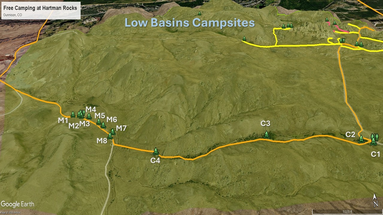
Just follow the road in YELLOW to reach these sites. Suitable for all vehicles.
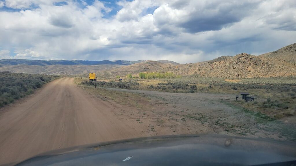
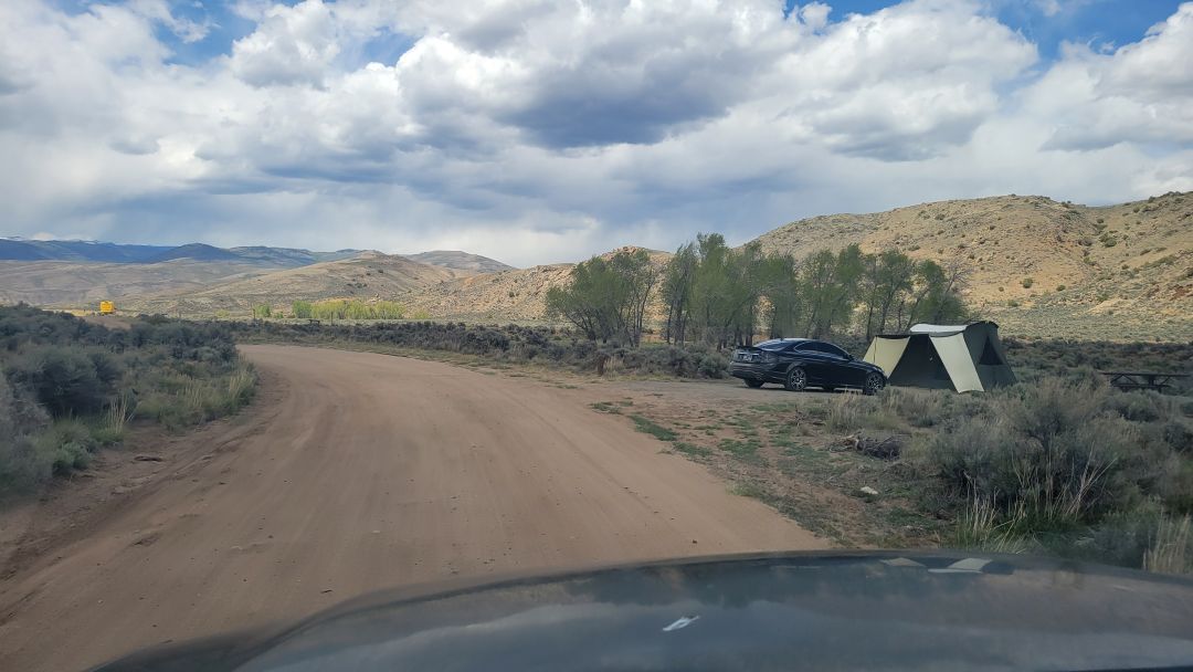
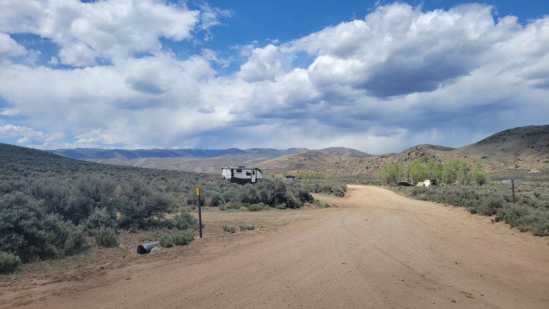
M1 to M8 – These sites are just pull outs next to the road. There is a turnaround section after site M8, so do not be concerned if you have a trailer. Take your time and select a site that works for you.
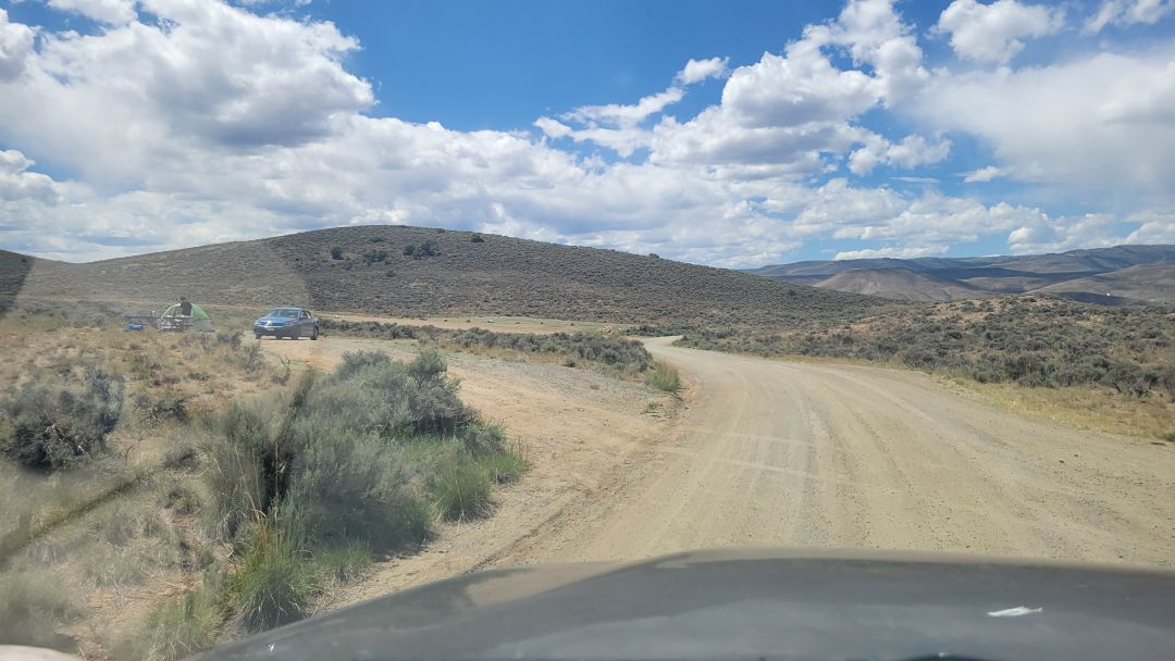
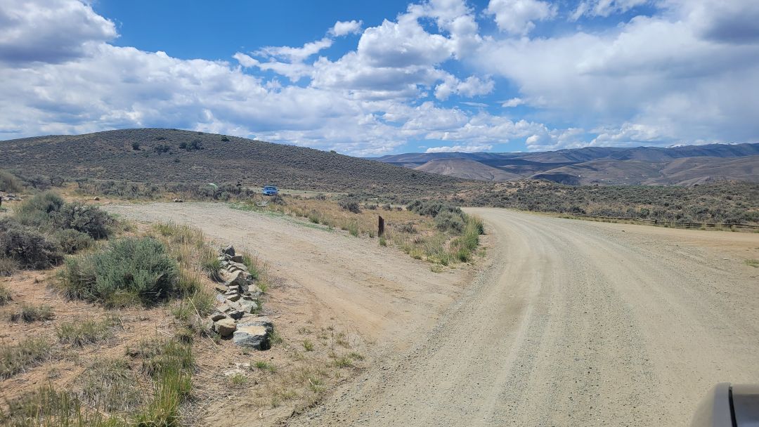
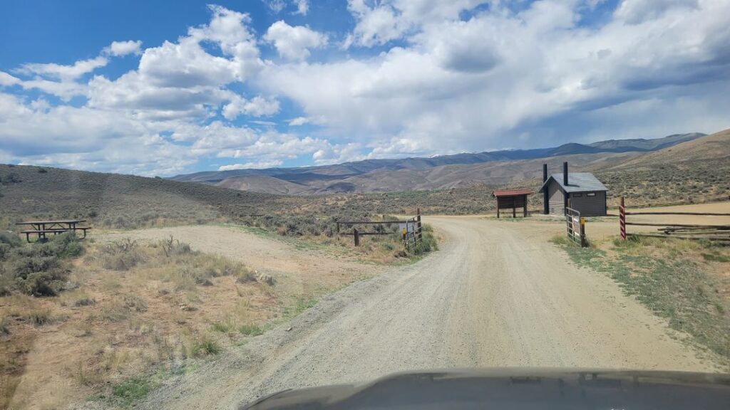
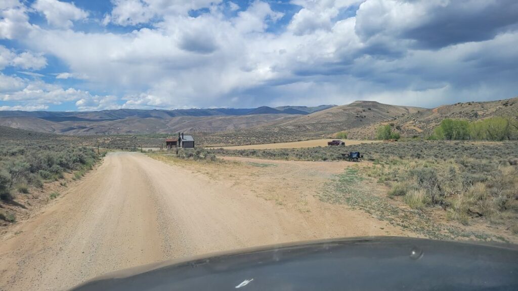
C4 – A large pull-thru site with shade. Very secluded.
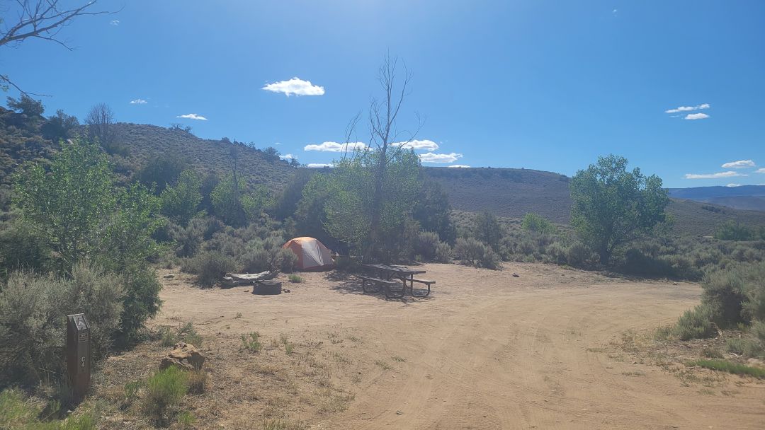
C3 – Another large site in the trees where solar may be challenging. But the site is great.
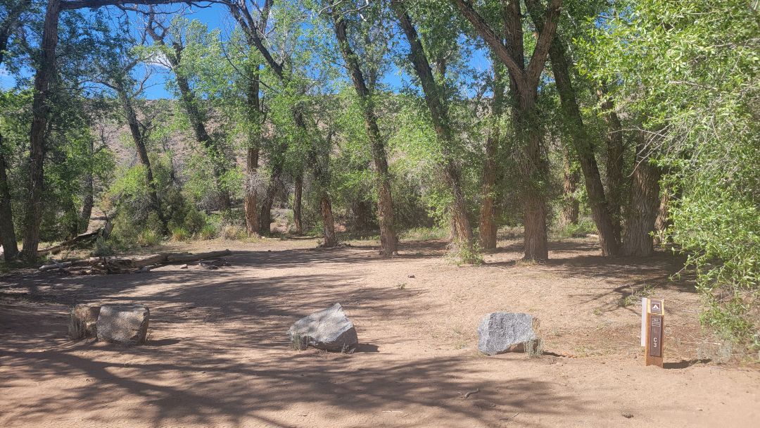
C2 – A large handicapped site
C1 – A smaller site perhaps best for tents. Toilet across the road.