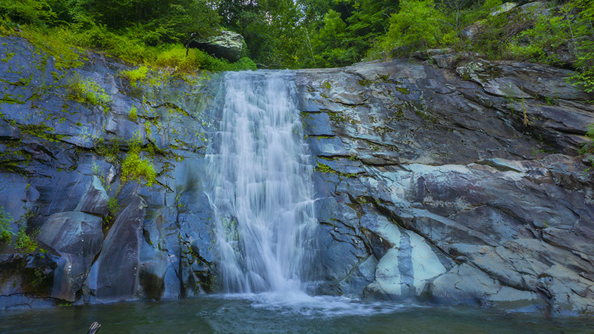
The Virginia Creeper National Recreation Trail is a 34.3-mile rail-to-recreation trail and home to the small but very scenic Whitetop Laurel Falls! Many folks ride or walk past the Falls every day without even knowing about it!
I love going there with my bike. Parking is readily available and the trail is beautiful.
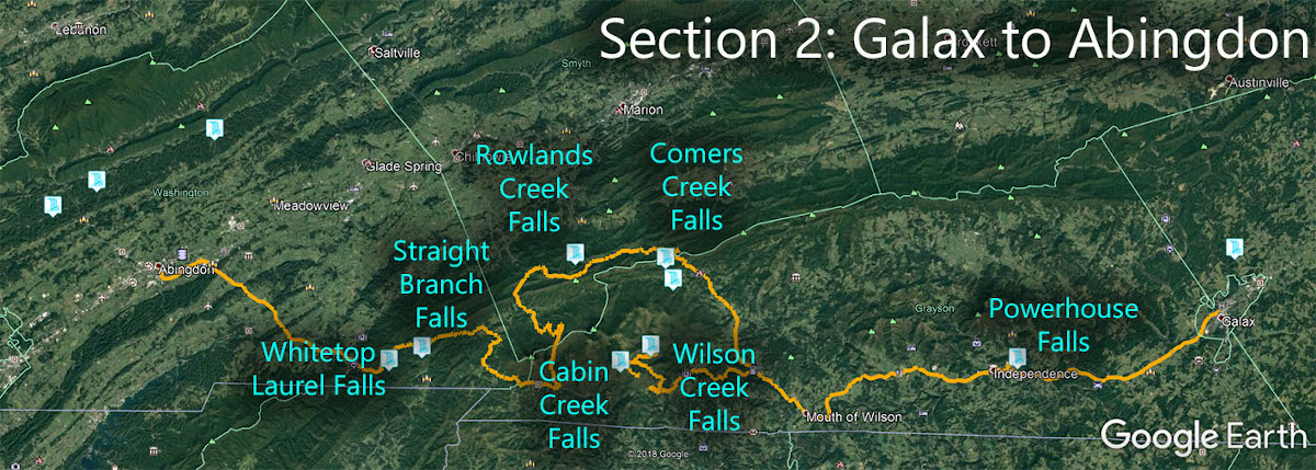
The Great Virginia Waterfall Trail
Whitetop Laurel Falls is in Section 2 of the Great Virginia Waterfall Trail which travels 126 miles from Galax to Abingdon.
Directions
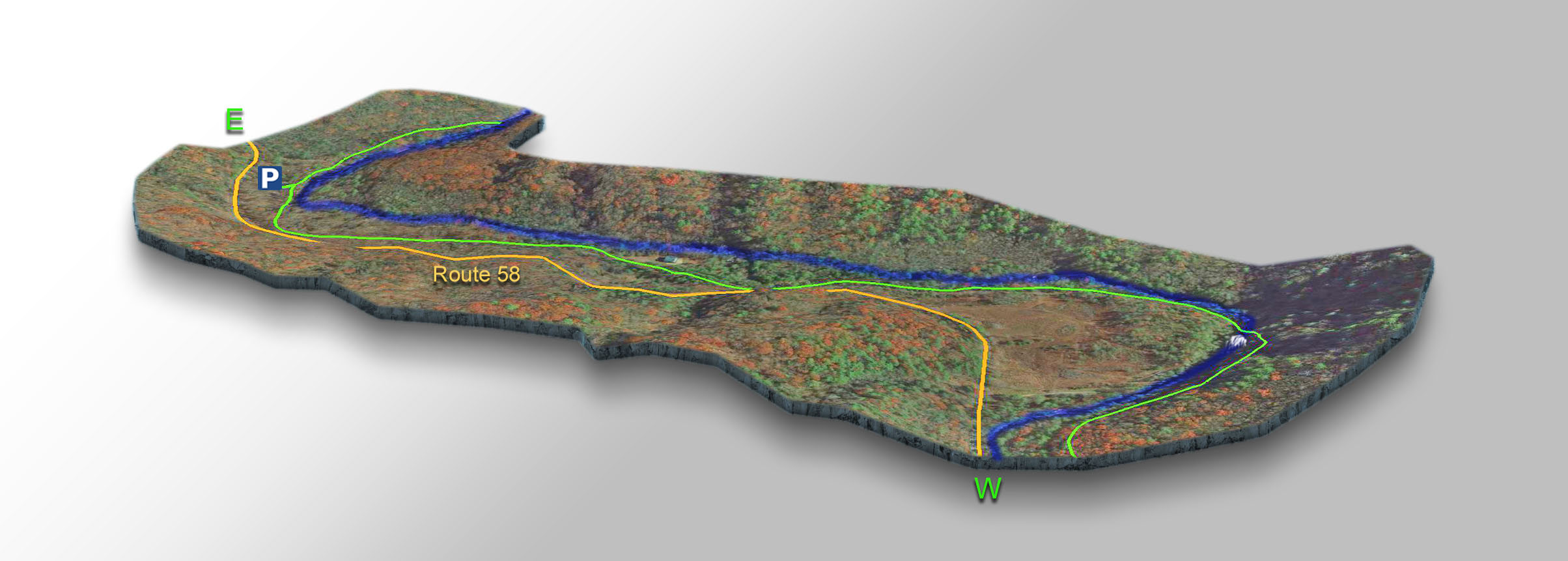
From Damascus, drive east along Route 58 for 4 miles and enter the parking area to the right. Restrooms are available. Follow the Creeper Trail downstream (to the right) for 1 mile!
The easiest access is from a parking area exactly one mile away. It is a flat walk or bike ride to the Falls. As soon as you cross the bridge, look to your right and you will see Whitetop Laurel Falls.
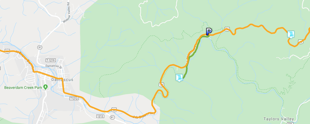
Trail Map
Google Map of Virginia Waterfalls
Whitetop Laurel Falls is near Damascus on this Virginia Waterfalls map by Eben Schoeman.