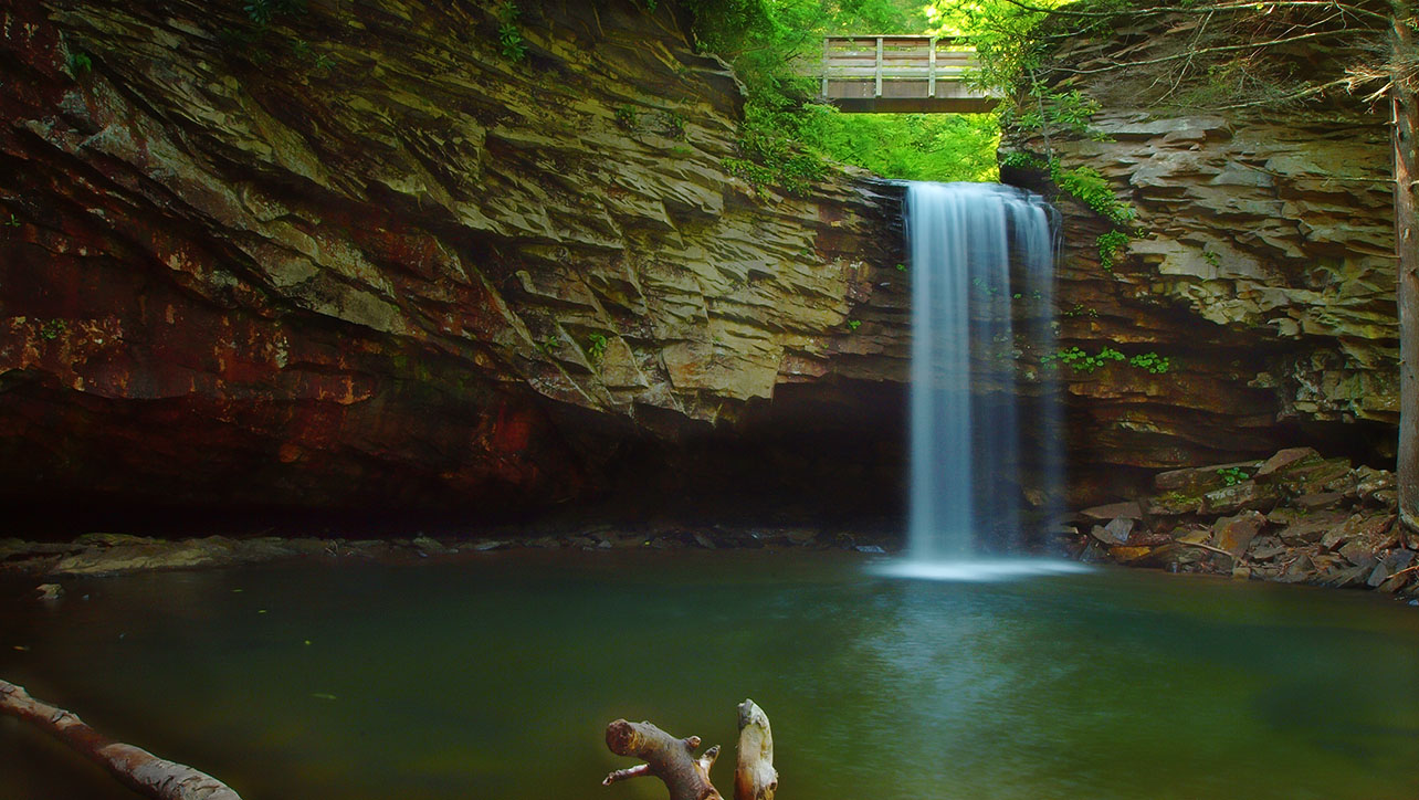
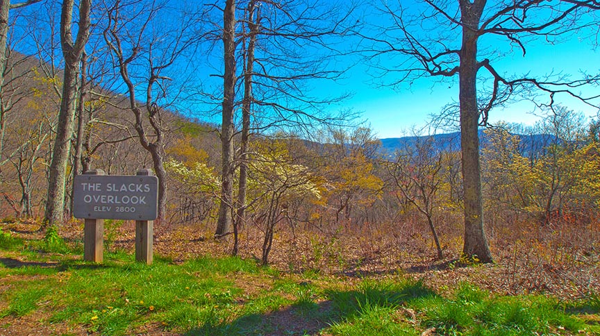
White Rock Falls is one of the “secrets” along the Blue Ridge Parkway in Virginia! Most visitors will stop briefly at the Slacks Overlook and then continue their journey not knowing there is a scenic waterfall just down the hill!
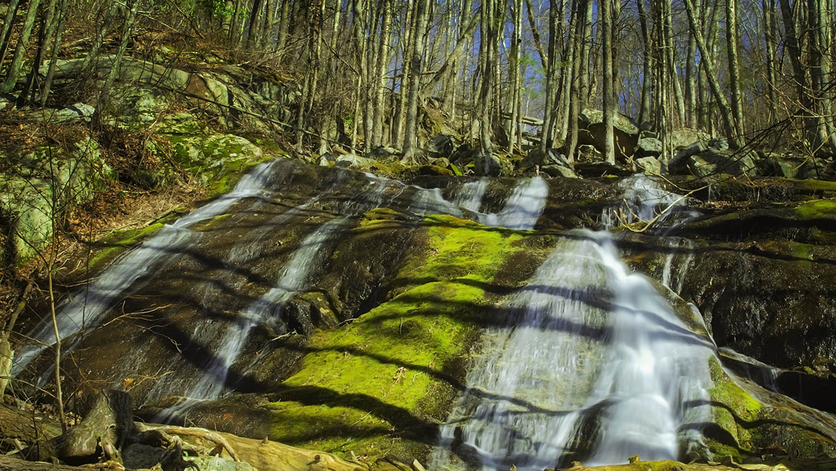
White Rock Falls do dry to a trickle in mid-summer so it is best to visit after rains or earlier in early Spring. In the heat of summer, you can wade in the cool waters below the Falls!
The Great Virginia Waterfall Trail
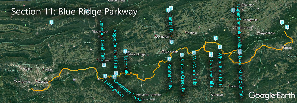
White Rock Falls is in Section 11 of the Great Virginia Waterfall Trail which travels 170 of the Blue Ridge Parkway.
Directions
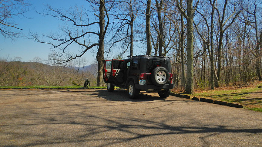
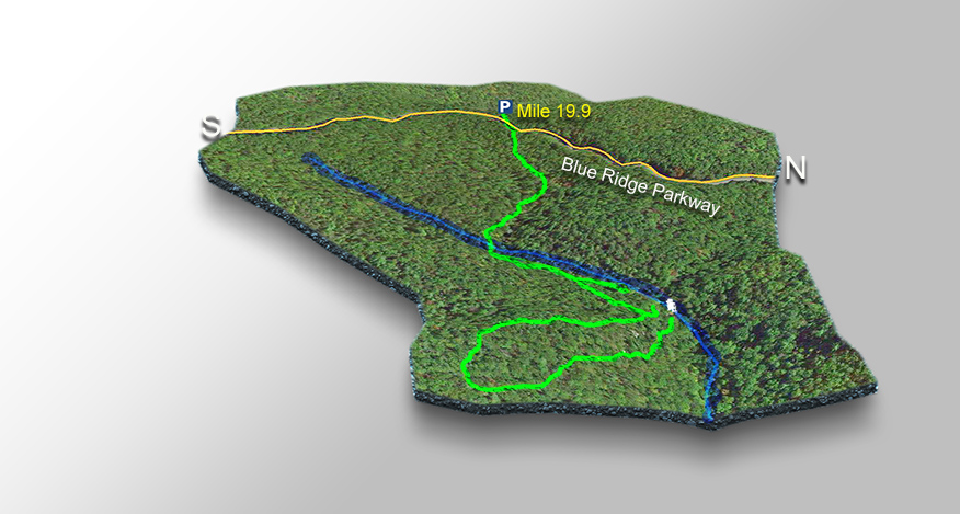
Park at “The Slacks” Overlook at mile 19.9 along the Blue Ridge Parkway.

Trail Map
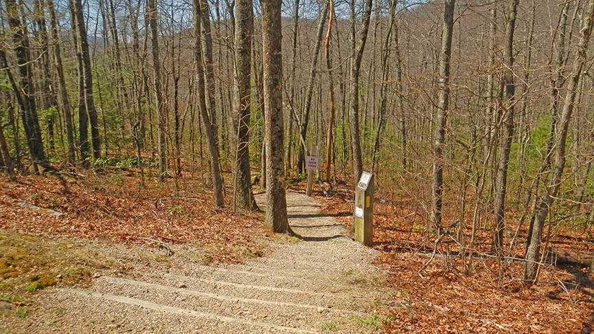
The Trail
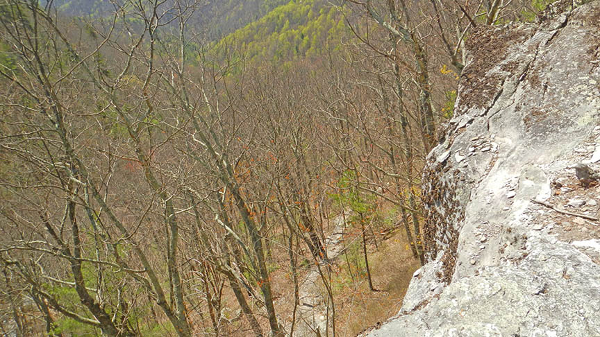
The 2-mile (return) trail is well-maintained with a gentle slope so we rate it an easy hike. Be aware you will hike along a cliff face near the Falls so keep an eye on the kids!
You have to cross the Parkway and look for the trailhead slightly to your left.
It is about 1 mile down to the base of the Falls but about halfway down you can explore White Rock Creek to the top of the Falls.
To reach the base, you continue along the trail (slightly uphill at first then down) and circle a high cliff. It is here where you need to watch young children. The last short stretch is steep and slippery at times!
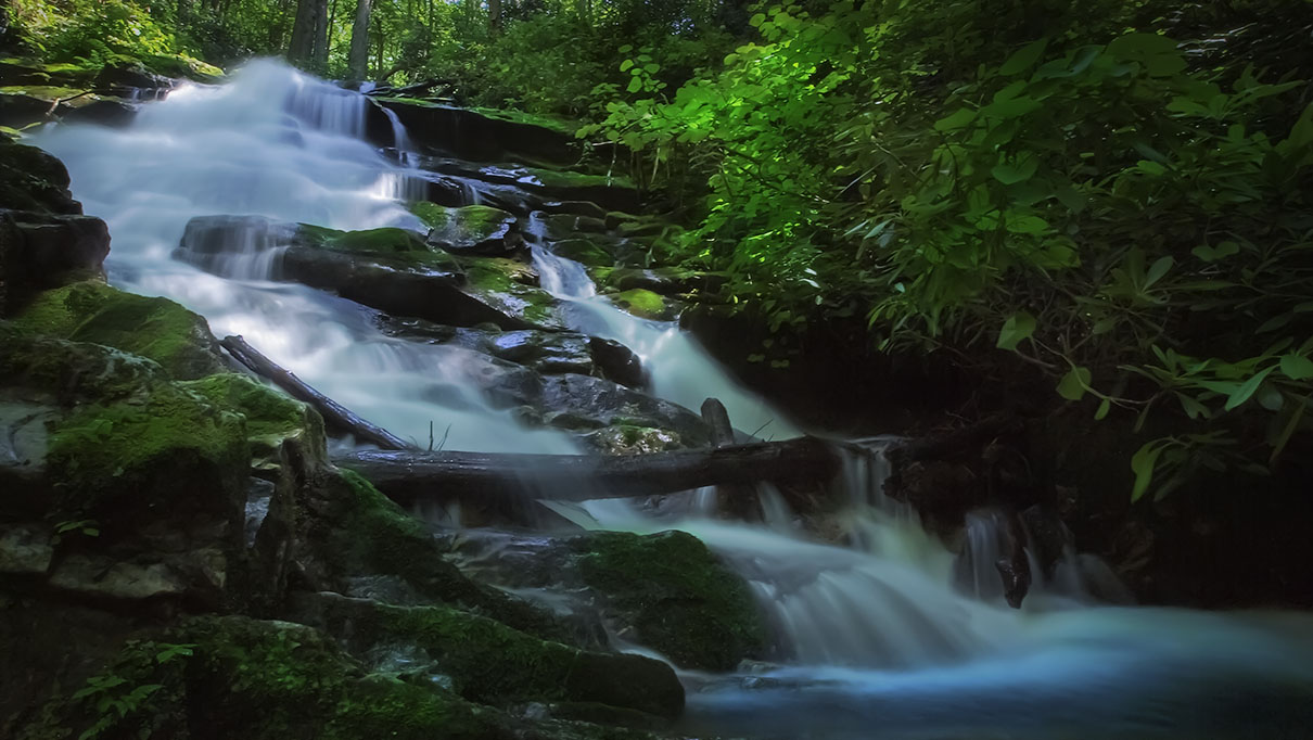
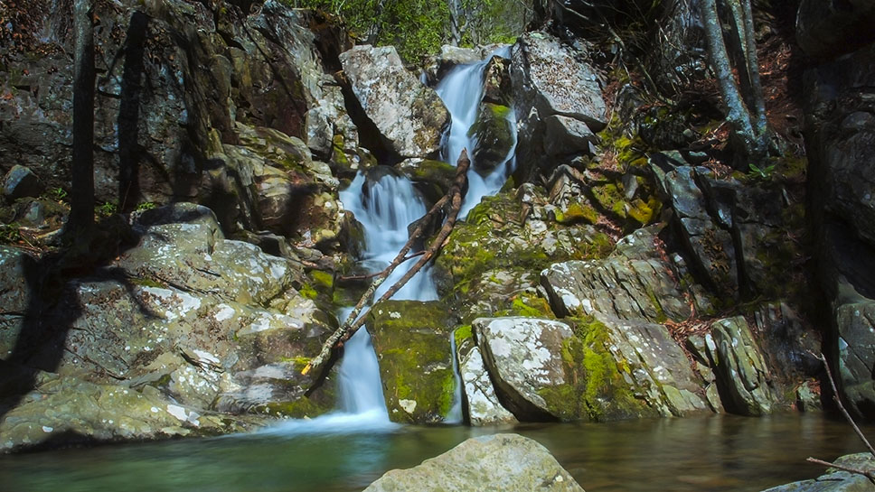
You will find several little waterfalls up and down the Creek so do plan to stay a while and explore.
Trail Photos
Google Map of Virginia Waterfalls
White Rock Falls is along the Blue Ridge Parkway on this Virginia Waterfalls map by Eben Schoeman.