You are driving to Fort Lauderdale and wondering where your ship is docked! In this article, you can see a real-time location map of all the docked ships at Port Everglades (those with location beacons enabled).
If this is your first time in Fort Lauderdale, do not be concerned. Once you enter the Port Everglades area there are plenty of signboards to guide you.
Cruise Terminals and Parking Map

Directions to Port Everglades
Use Crowne Plaza Ft. Lauderdale Airport/Cruise in your GPS or Phone App for the destination! This is the best way to ensure you are driving to the correct area with no confusion. Some GPS directions are inaccurate when you use a cruise terminal as the destination.
Then, follow the road signs to your ship as you get close to Port Everglades. Do not rely on any navigation software near the Port!
There are 3 entrances at Port Everglades. It is recommended to use the entrance nearest to your ship but don’t be concerned about this. The Crowne Plaza is across the street from the 24th Street Entrance Gate!
Please read our article Guide to Cruise Parking at Port Everglades for specific terminal directions and cruise parking either ship-side or at nearby commercial lots.
Planning Tip!
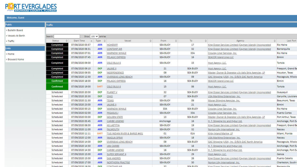
The Port Authority at Port Everglades publishes a ship schedule valid for several weeks. The file shows all cruise ships visiting the Port with information such as date, docking terminal, arrival time, departure time, etc.
Unfortunately, things do change so it is best to check my real-time map below on your arrival day.
Here is a sample page – note the Date column. the vessel, the “To” or” From” Column (it shows the Terminal number, eg. ARR TO or DEP FROM):

The Port Everglades Cruise Ship schedule is here – Go to Cruise Ship Schedule.
Ship Locator
This map is easy to use! Simply zoom in and hover over the BLUE ships for names and information. The BLUE ships are cruise ships.

