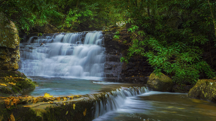
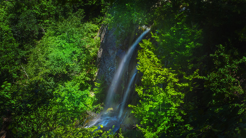
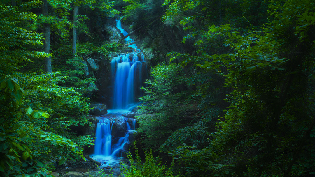
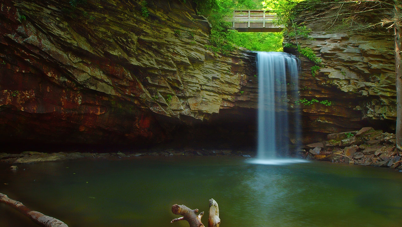
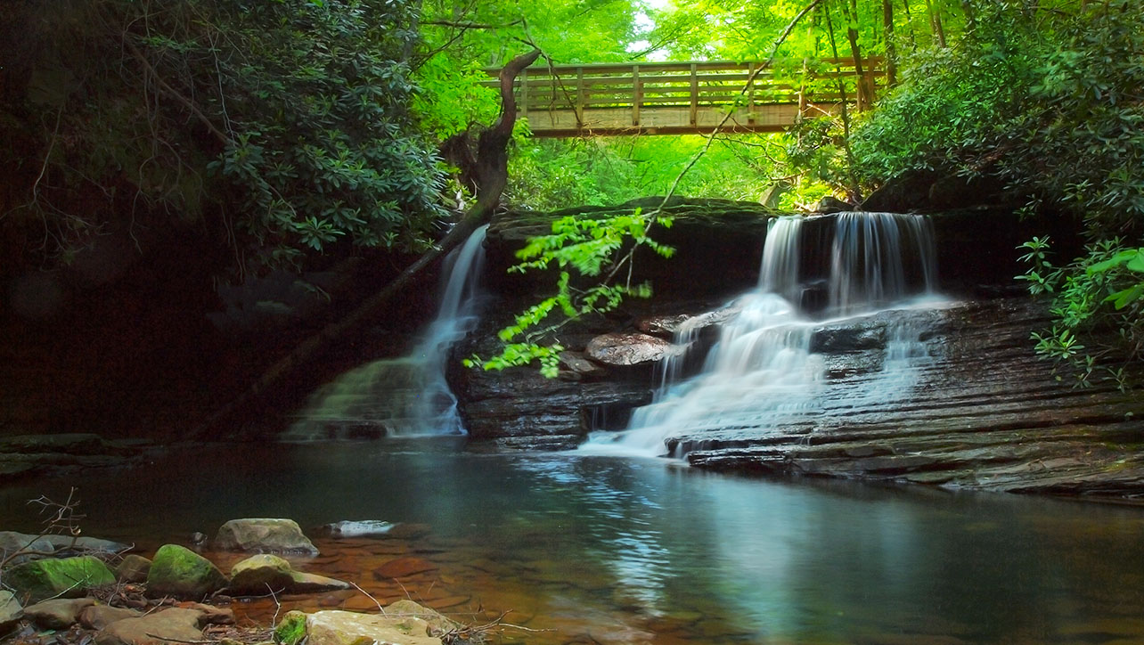
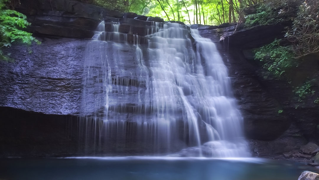
The three waterfalls of the Little Stony are an iconic destination for waterfall lovers in Virginia!
There are three waterfalls of note and a few small ones further downstream when the creek is running high. Most visitors are satisfied after seeing the big three, leaving the lower part of the trail for hiking enthusiasts.
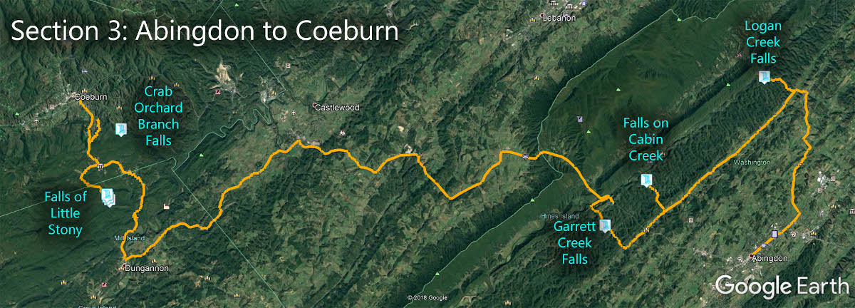
The Great Virginia Waterfall Trail
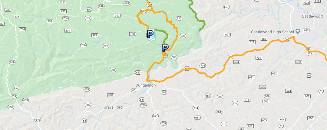
The Falls of Little Stony is in Section 3 of the Great Virginia Waterfall Trail which travels 83 miles from Abingdon and Coeburn.
Directions
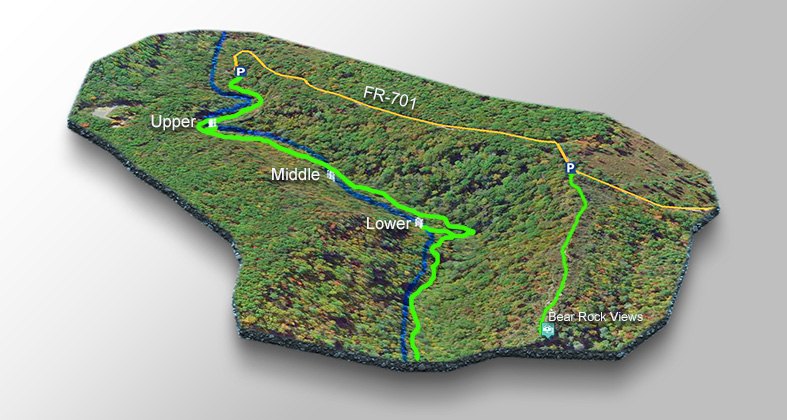
From the town of Coeburn drive south on VA72. Turn right on SR-664 then left on FR-700 and left on FR-701. Park in the first parking area (on the left) for the Little Stony Creek area. Bathrooms are available in a 2nd parking area about 100 yards further down the road!
Trail Map
The Trail
You can choose between a shorter trail of 1.4 miles (return) to view all three waterfalls, or you can park one vehicle at the top parking area and hike down to a second parking area (at Hanging Rock) for a total hike of 2.8 miles.
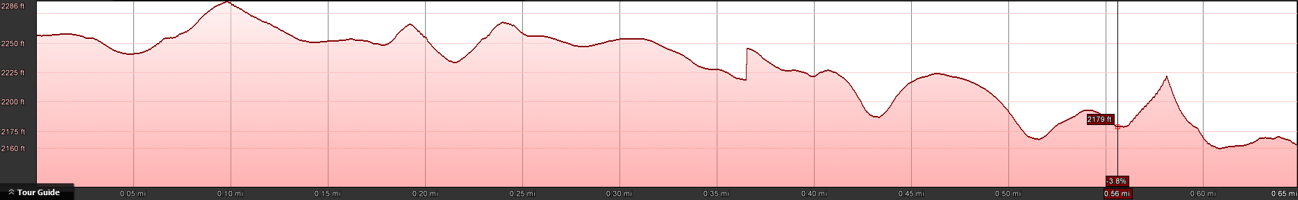
The trail has a very gentle downhill profile and is rather easy. You will see the Upper Falls after crossing the first bridge and the Middle Falls after crossing the second Bridge. The Lower Falls are a bit further down the trail (0.7 miles).
Watch the slide show below to see the parking and the trail.
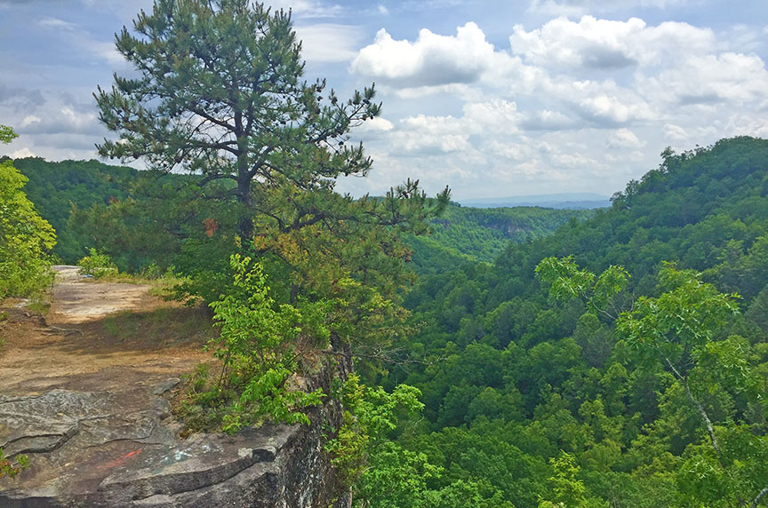
While in the area, be sure to hike the short trail to a lovely viewpoint – Bear Rock – from where you can look down into the Creek area. See our trail map below.
Trail Profile
Trail Slide Show
Google Map of Virginia Waterfalls
The waterfalls of Little Stony are near Coeburn on this Virginia Waterfalls map by Eben Schoeman.