Updated for 2024

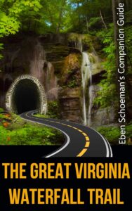
One Amazing Road Trip to ALL the Waterfalls in Virginia
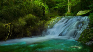
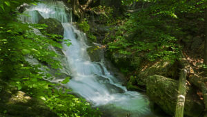
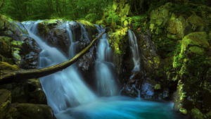
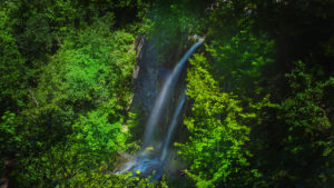
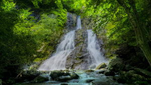
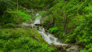
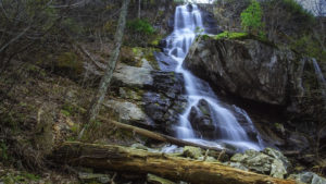
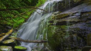
The 1373-mile Great Virginia Waterfall Trail by Eben Schoeman is a combination of highways, byways, and county roads that connect almost all of Virginia’s spectacular (and accessible) waterfalls in a Figure 8 road trip!
The Star city of Roanoke is at the center of the Figure 8. While you can enter or exit the Waterfall Trail at any point, Roanoke is a good place to start! From there you can head north or south in either a clockwise or anti-clockwise loop!
The Trail is more than just a connecting road. I designed the route to follow the most interesting or scenic paths as shown on the free map – Scenic Roads & Byways in Virginia (available at tourist centers statewide and online at www.virginiadot.org.)
Read for FREE here or buy Eben Schoeman’s Companion Guide!
I want everyone to enjoy the Waterfalls of Virginia so there are two options available to you:
- My e-book is available on Amazon. It is a great gift for yourself or for a friend/family member who enjoys the outdoors. And I will greatly appreciate your support!
- Read this website for FREE! Everything that’s in my book is on this website for you to read and enjoy at no cost! I have a donate button if you want to send me a few “thank you” bucks but it’s up to you!
Content Organization
The waterfalls in my Waterfall Trail book are arranged in order starting in Roanoke and heading south on the Blue Ridge Parkway. We describe every waterfall along the Waterfall Trail in the Figure 8 arrangement before ending back in Roanoke coming from the north!
This online description of the Waterfall Trail includes descriptions, maps, photos, and fun and interesting stops along the way. You also experience the Crooked Road, Designated Virginia Scenic Byways, Skyline Drive, and the Blue Ridge Parkway – to mention a few!
The Great Virginia Waterfall Trail Video on YouTube!
An hour-long relaxation video featuring many of the prettiest waterfalls in Virginia!
The Great Virginia Waterfall Trail – Google Map
Here is the official online Google Map of the Waterfall Trail. As a bonus, we included several other waterfalls that are either, not part of the Trail or on private property.
Hiking trails leading to the Falls and parking areas are described in the links below and the book listed above.
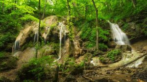
The Great Waterfall Trail in Sections
For easier navigation and planning, the Waterfall Trail is divided into 11 sections.
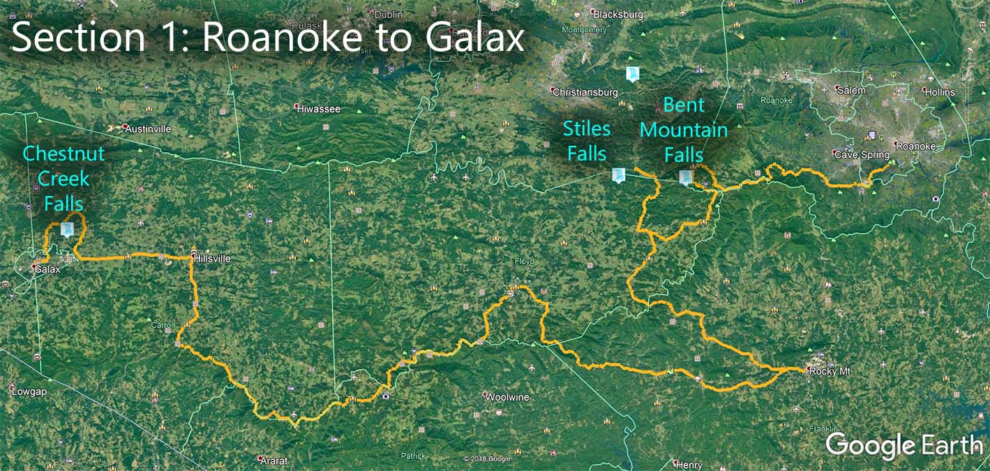
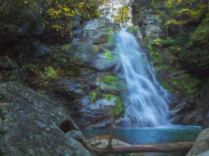
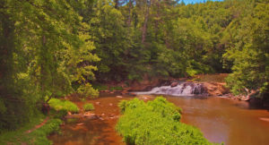
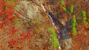
Section 1 – Roanoke to Galax – 182 miles
Highlights
- City of Roanoke
- Blue Ridge Parkway
- The Crooked Road includes Rocky Mount, Floyd, Hillsville, and Galax.
- The New River Trail near Fries
- Galax
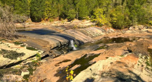
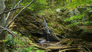
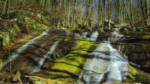
Waterfalls
Counties and Tourism Centers
- Roanoke City – Visit Roanoke Tourism
- Roanoke County – County Tourism
- Blue Ridge Parkway – National Park Service
- Montgomery County – Regional Tourism
- Franklin County – County Tourism
- Rocky Mount – City Tourism
- The Crooked Road – Virginia Tourism
- Floyd County – County Tourism
- Carroll County – County Tourism
- New River Trail – Virginia State Parks
- Galax – City Tourism
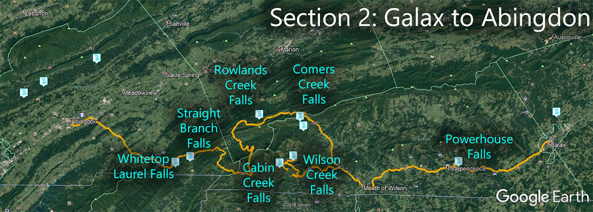
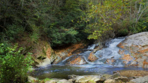
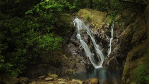
Section 2 – Galax to Abingdon – 126 miles
Highlights
- The Crooked Road
- Grayson Highlands State Park
- Mount Rogers and Whitetop Mountain
- Virginia Creeper Trail
- Appalachian Trail
- Damascus (trail town)
- Historic Abingdon
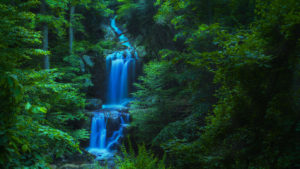
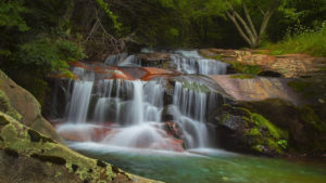
Waterfalls
Counties and Tourism Centers
- Grayson County – https://www.graysoncountyva.com/
- Grayson Highlands State Park – https://www.dcr.virginia.gov/state-parks/grayson-highlands
- Virginia Creeper Trail – https://www.vacreepertrail.org/
- The Crooked Road – https://thecrookedroad.org/
- Smyth County – http://www.visitvirginiamountains.com/
- Washington County – https://www.washcova.com/
- Damascus – http://www.visitdamascus.org/
- Abingdon – https://visitabingdonvirginia.com/
- Southwest Virginia Cultural Center – https://swvaculturalcenter.com/
Section 3 – Abingdon to Coeburn – 83 miles
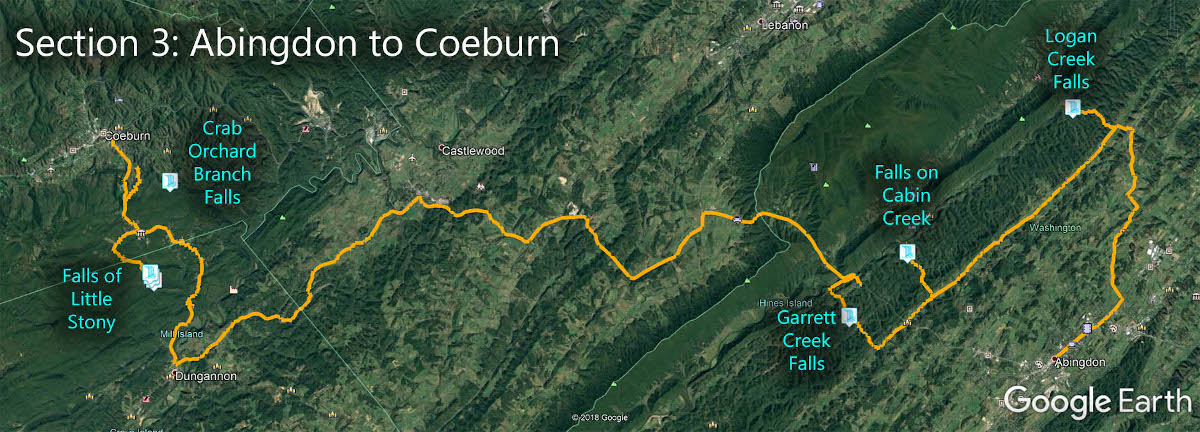
Highlights
- The Crooked Road
- Appalachian Wonders Loop Road
- Clinch River
- Little Stony National Recreation Trail
- Dungannon, Coeburn, Wise
- Guest River Gorge Trail
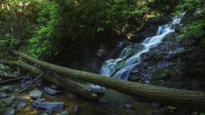
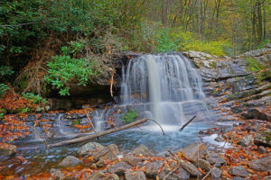
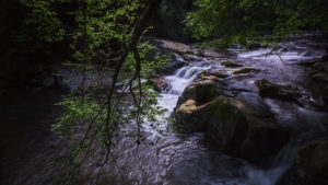
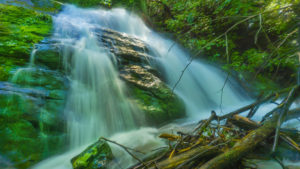
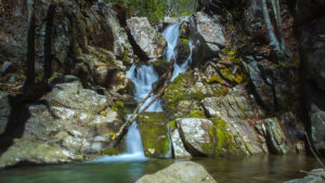
Waterfalls
Counties and Tourism Centers
- Russell County – http://www.experiencerussellva.com/
- Scott County – https://www.explorescottcountyva.org/
- Wise County – https://www.visitwisecounty.com/
- Guest River Gorge Trail – https://www.fs.usda.gov/recarea/gwj/recarea/?recid=78552
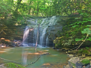
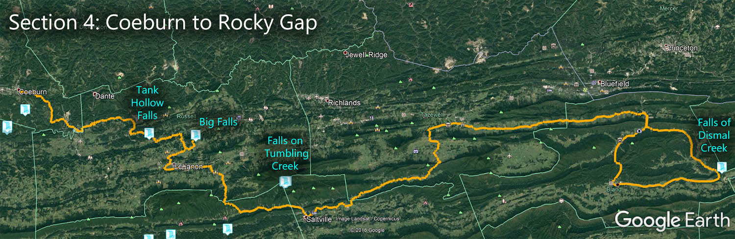
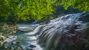
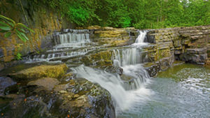
Section 4 – Coeburn to Rocky Gap – 165 miles
Highlights
- Pinnacle Natural Area Preserve
- The Channels Natural Area Preserve
- The Barrens Natural Area Preserve
- Mendota Fire Tower
- Museum of Middle Appalachians
- Back of the Dragon – challenging road!
- Historic Crab Orchard Museum
- Burke’s Garden
- Pocahontas Exhibition Mine and Museum
- St. Paul, Saltville, Tazewell, Bland
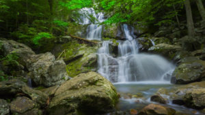
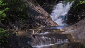
Waterfalls
Counties and Tourism Centers
- Smyth County – http://www.visitvirginiamountains.com/
- Russell County – http://www.russellcountyva.com
- Washington County – https://www.washcova.com/
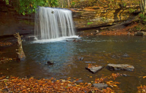
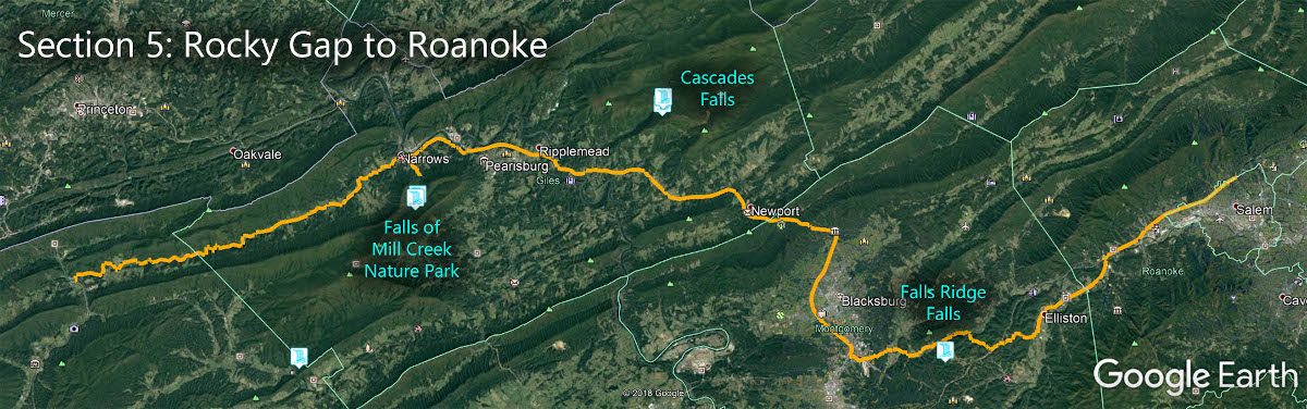
Section 5 – Rocky Gap to Roanoke – 80 miles
Highlights
- Appalachian Trail town – Pearisburg
- Blacksburg – Virginia Tech
- New River Water Trail
- Mountain Lake Lodge – Dirty Dancing!
Waterfalls
Counties and Tourism Centers
- Montgomery County – https://www.gotomontva.com/
- Roanoke County – https://www.roanokecountyva.gov/9/Visitors
- Giles County – http://virginiasmtnplayground.com/
- Bland County – https://www.blandcountyva.gov/
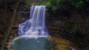
Section 6 – Roanoke to Douthat SP – 115 miles
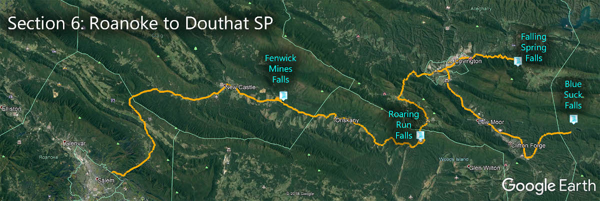
Highlights
- McAfee Knob on the Appalachian Trail
- Virginia’s Western Highlands Artison Trail
- Paint Bank Historic Village
- Douthat State Park
- Highlands Scenic Byway
- New Castle, Covington, Clifton Forge
Waterfalls
Counties and Tourism Centers
- Craig County – http://visitcraigcountyva.com/
- Alleghany County – http://www.visitalleghanyhighlands.com/main/index.php
- Douthat State Park – https://www.dcr.virginia.gov/state-parks/douthat
- Clifton Forge – https://www.cliftonforgeva.gov/visit/
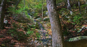
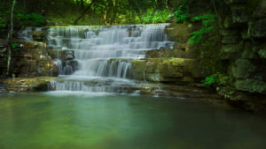
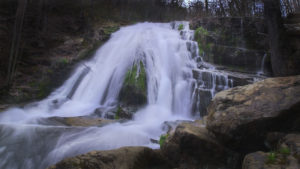
Section 7 – Douthat SP to Harrisonburg – 106 miles
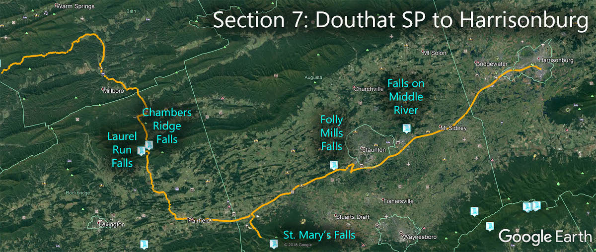
Highlights
- Hot Springs
- Goshen Wildlife Management Area
- Historic Lexington
- Historic Staunton
- University Town Harrisonburg
Waterfalls
- Falls on Middle River (private)
Counties and Tourism Centers
- Rockingham County – https://www.rockinghamcountyva.gov/9/Visitors
- Harrisonburg – https://www.visitharrisonburgva.com/
- Augusta County – http://www.visitaugustacounty.com/
- Staunton – https://visitstaunton.com/
- Rockbridge County – https://www.co.rockbridge.va.us/31/Explore
- Lexington – https://lexingtonvirginia.com/
- Bath County – https://discoverbath.com/
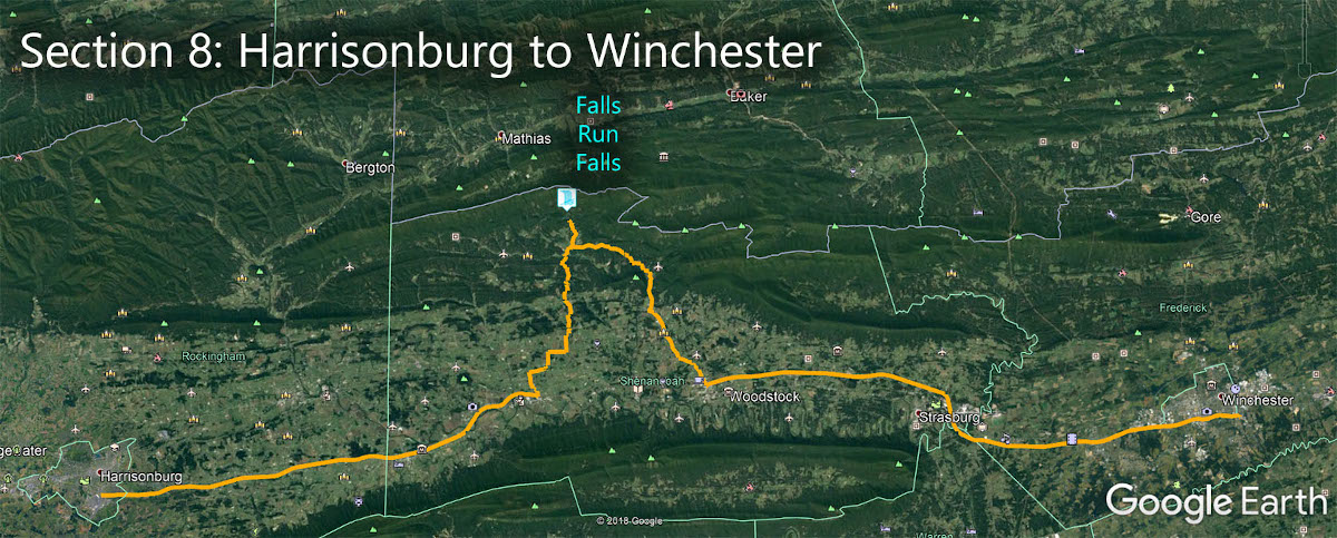
Section 8 – Harrisonburg to Winchester – 87 miles
Highlights
- Shenandoah Caverns
- Meem’s Bottom Covered Bridge
- Woodstock Tower
- Wine Loop
- Civil War museums
- Breweries and wineries
- Woodstock, New Market, Strasburg, Winchester
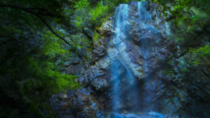
Waterfalls
Counties and Tourism Centers
- Shenandoah County – https://visitshenandoahcounty.com/
- Rockingham County – https://www.rockinghamcountyva.gov/9/Visitors
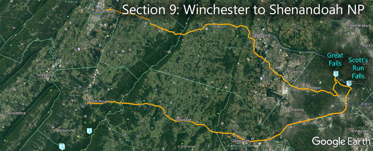
Section 9 – Winchester to SNP – 132 miles
Highlights
- Downtown Leesburg
- Civil War history
- Wineries
- Smithsonian National Air & Space Museum
- Washington, DC
- Front Royal
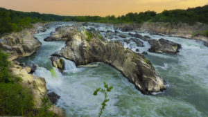
Waterfalls
Counties and Tourism Centers
- Great Falls National Park – https://www.nps.gov/grfa/index.htm
- Fairfax County – https://www.fxva.com/
- Faquier County – http://www.fauquiertourism.com/
- Prince William County – https://www.visitpwc.com/
- Loudoun County – https://www.visitloudoun.org/
- Clarke County – http://clarketourism.com/
- Winchester – https://visitwinchesterva.com/
- Frederick County – https://www.fcva.us/visit
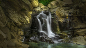
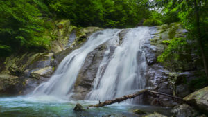
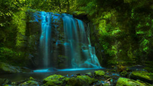
Section 10 – Shenandoah NP – 127 miles
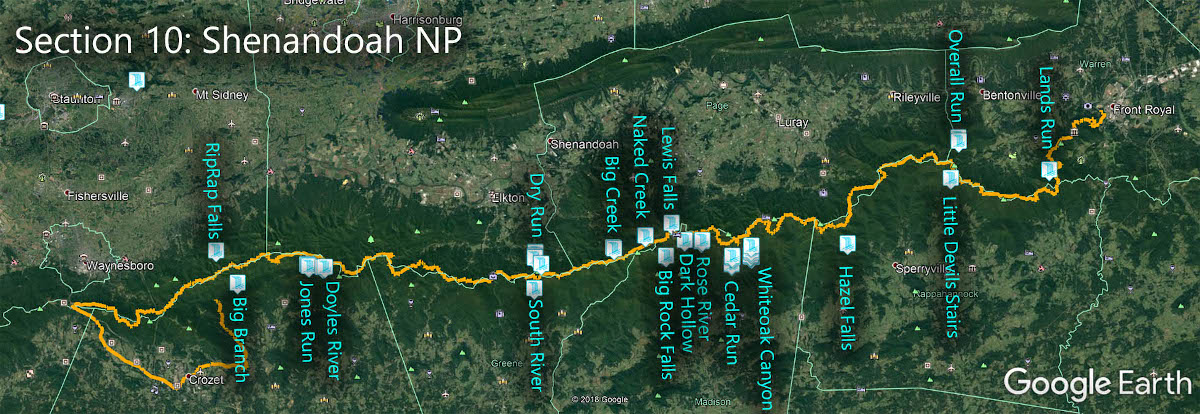
Highlights
- Shenandoah National Park
- Luray Caverns
- Waynesboro
Waterfalls
Counties and Tourism Centers
- Shenandoah National Park – https://www.nps.gov/shen/index.htm
- Albemarle County – https://www.albemarle.com
- Augusta County – http://www.visitaugustacounty.com/
- Waynesboro – http://www.visitwaynesboro.net/
- Greene County – https://www.exploregreene.com/
- Rockingham County – https://www.rockinghamcountyva.gov/9/Visitors
- Harrisonburg – https://www.visitharrisonburgva.com/
- Madison County – https://madisonva.com/
- Page County – https://www.visitluraypage.com/
- Rappahannock County – https://www.rappahannock.com/
- Warren County – https://www.visitshenandoah.org/region/warren/
- Luray Caverns – https://luraycaverns.com/
- Front Royal – https://www.discoverfrontroyal.com/
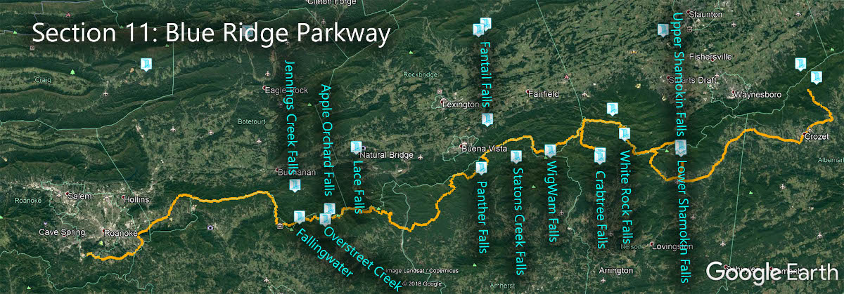
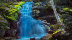
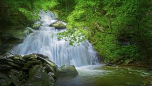
Section 11 – Blue Ridge Parkway – 170 miles
Highlights
- Blue Ridge Parkway
- Route 151
- Natural Bridge State Park
- Explore Park
- Bedford
Waterfalls

Counties and Tourism Centers
- Blue Ridge Parkway – https://www.nps.gov/blri/index.htm
- Natural Bridge State Park – https://www.dcr.virginia.gov/state-parks/natural-bridge
- Botetourt County – https://tinyurl.com/wrwp2kc
- Bedford County – https://visitbedford.com/
- Amherst County – http://visitamherstcounty.org/
- Rockbridge county, Lexington, Buena Vista – https://lexingtonvirginia.com/
- Nelson County – https://nelsoncounty.com/
- Waynesboro – https://www.visitwaynesboro.net/
- Route 151 – https://www.nelson151.com/