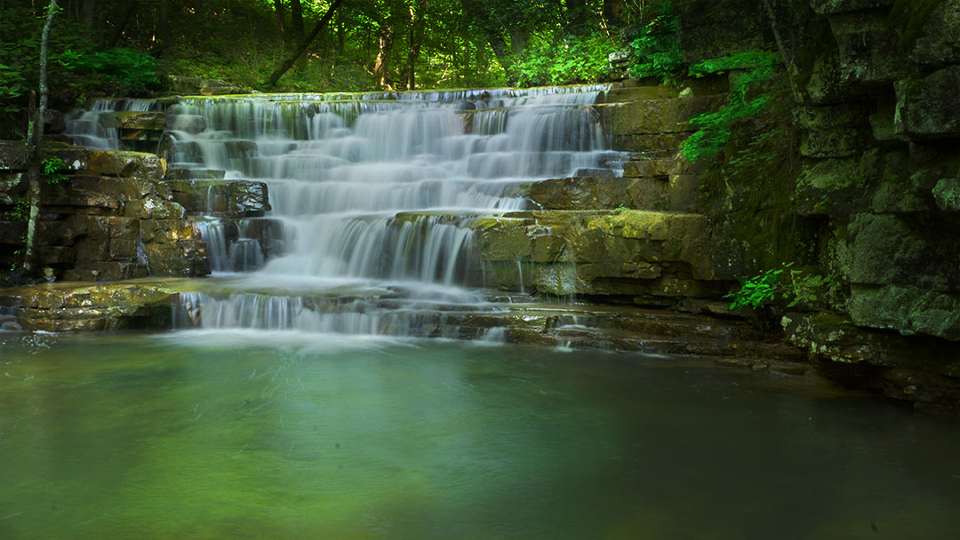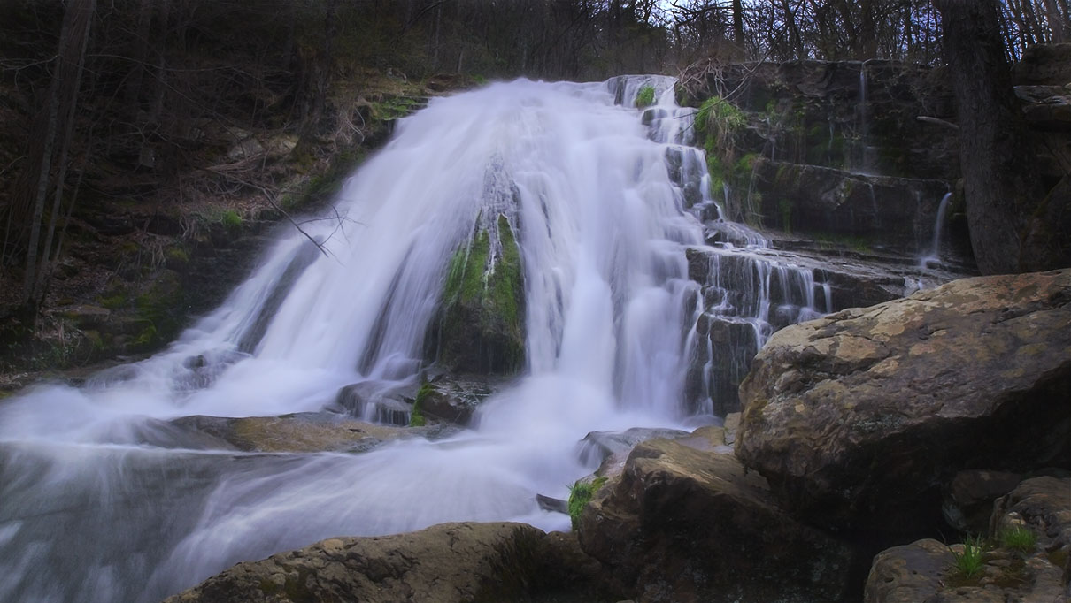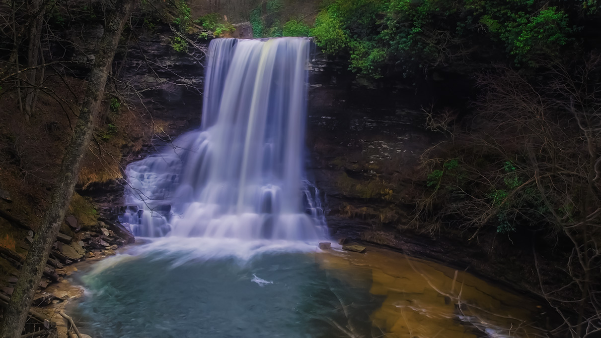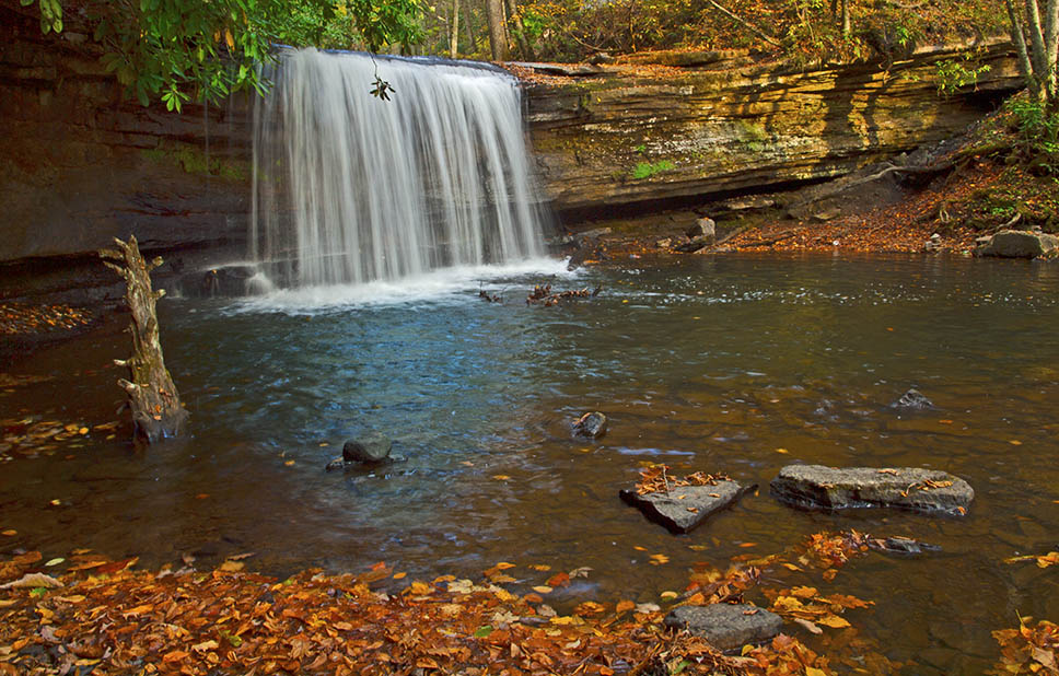
Blue Suck Falls – 3D Map, Photos and Directions – Douthat State Park – Virginia
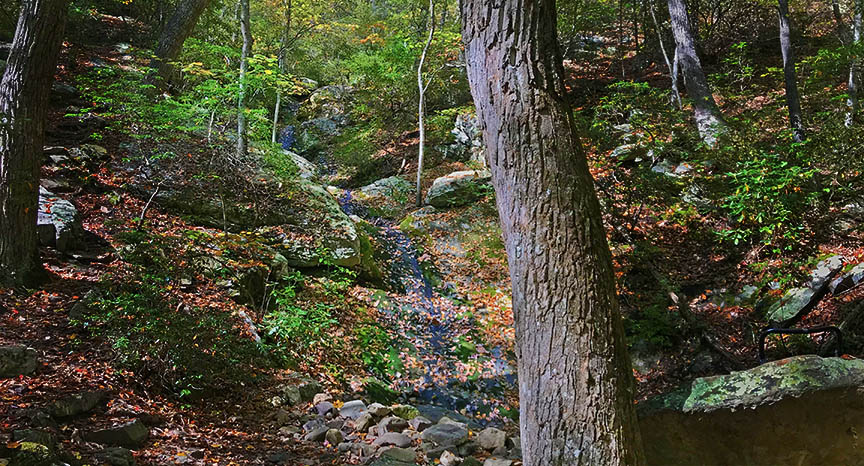
Hiking to Blue Suck Falls can be a frustrating experience if you hoped to film a bone-crushing waterfall! Rather, focus on the journey and you will thoroughly enjoy the hiking and scenery in a wonderful…