
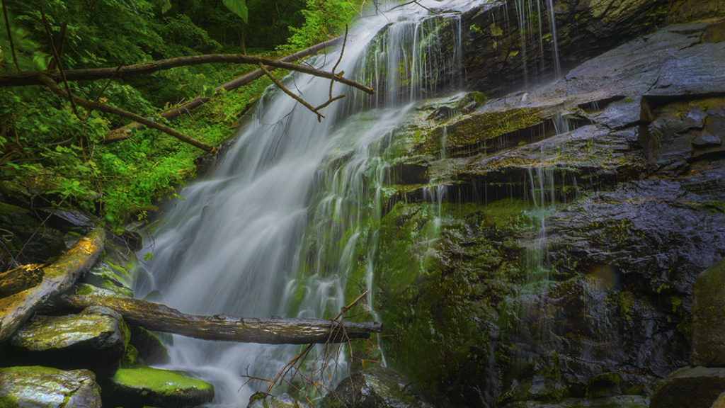
Lower Shamokin Falls – 3D Map, Photos and Directions – Virginia
The 1.8-mile trail to Lower Shamokin Falls is one of our favorites, yet you will find very little information about it online! The trailhead is easy to find at the end of a paved road (only 50 yards of gravel road), the trail is marked and not steep and you can spend days trying to […]
Lower Shamokin Falls – 3D Map, Photos and Directions – Virginia Read More »