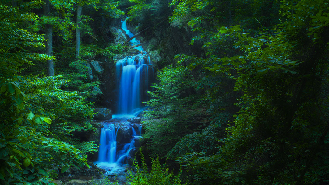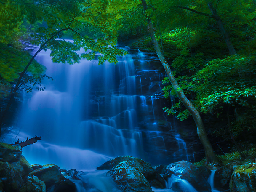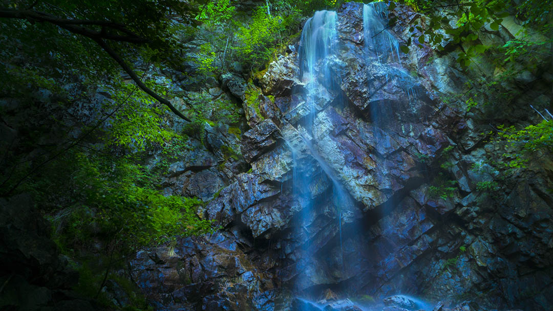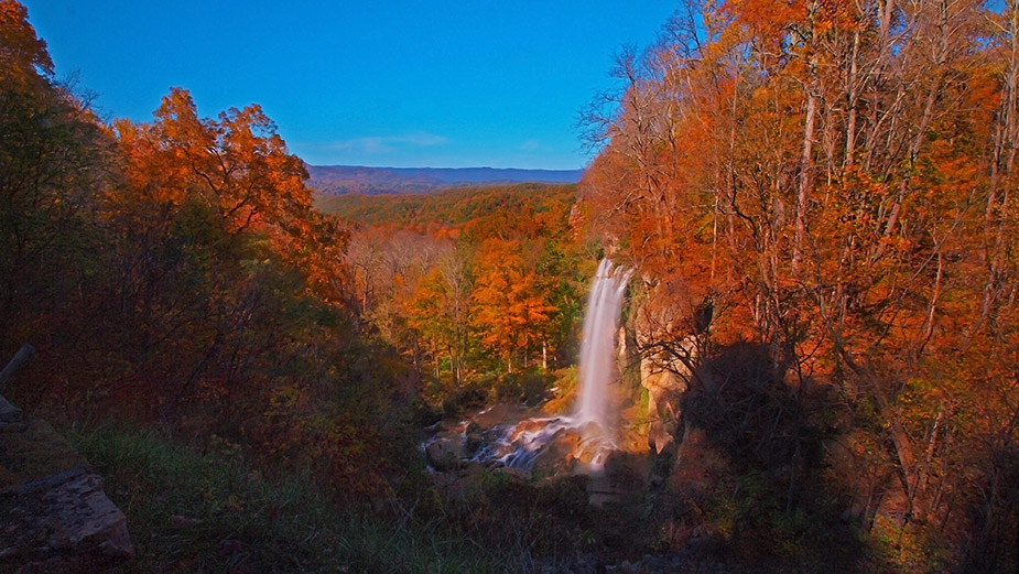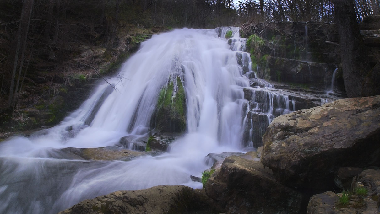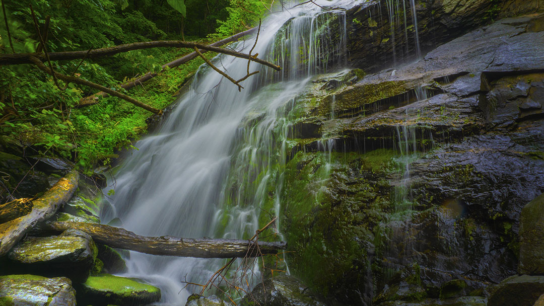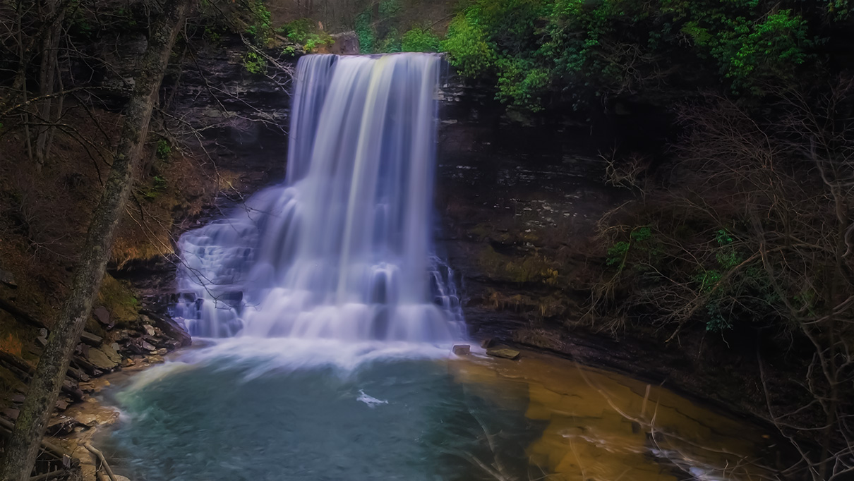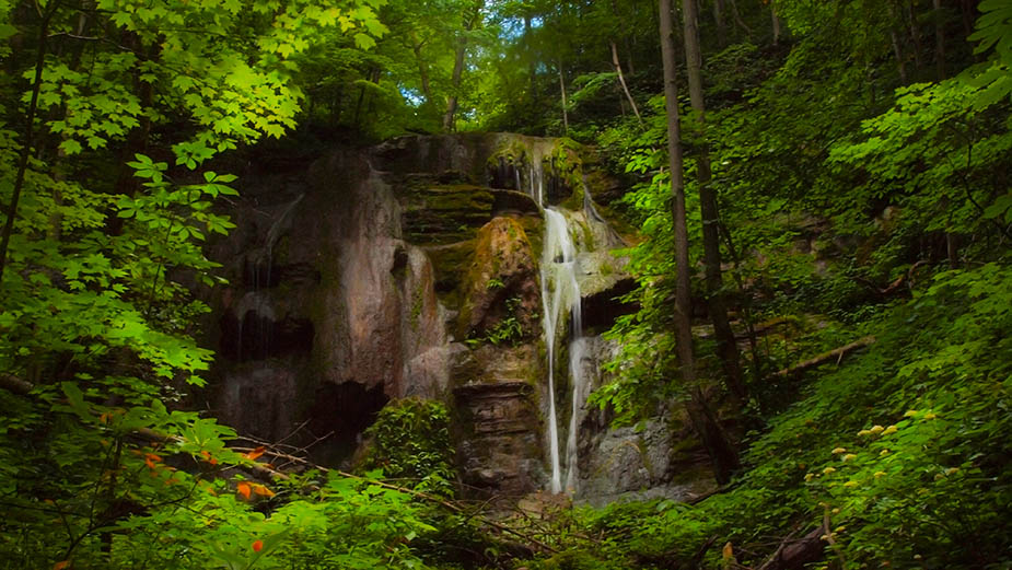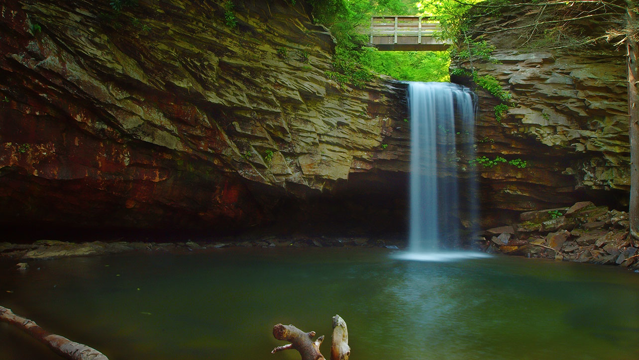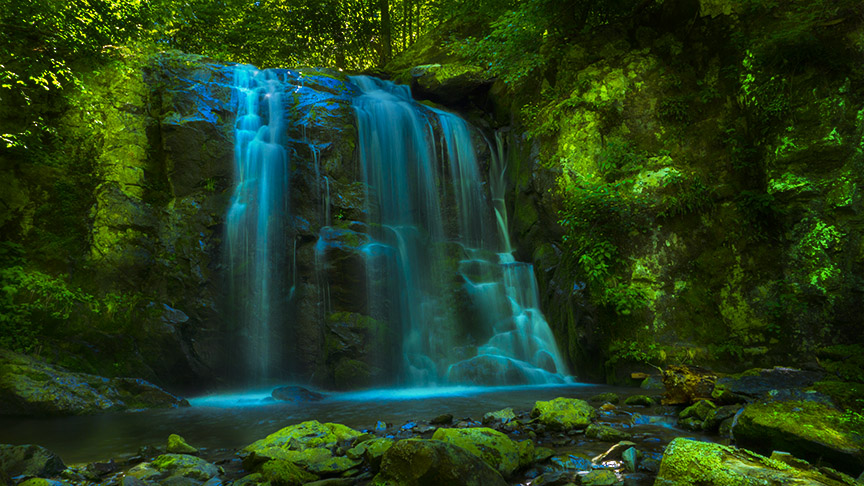
Falls of Naked Creek – 3D Map, Photos and Directions – Shenandoah National Park
The East Branch of Naked Creek is a waterfall-rich stream that flows down from near Skyline Drive to the community of Jollett. It is best to access Naked Creek from the Naked Creek Overlook by…