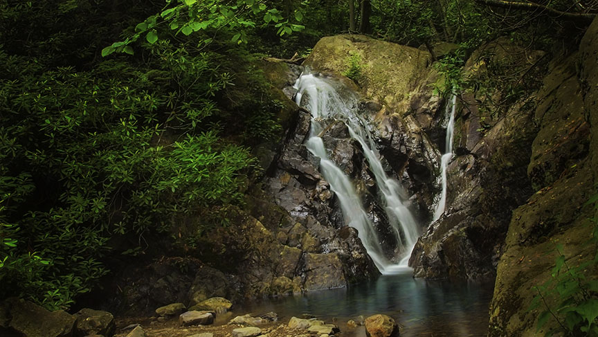
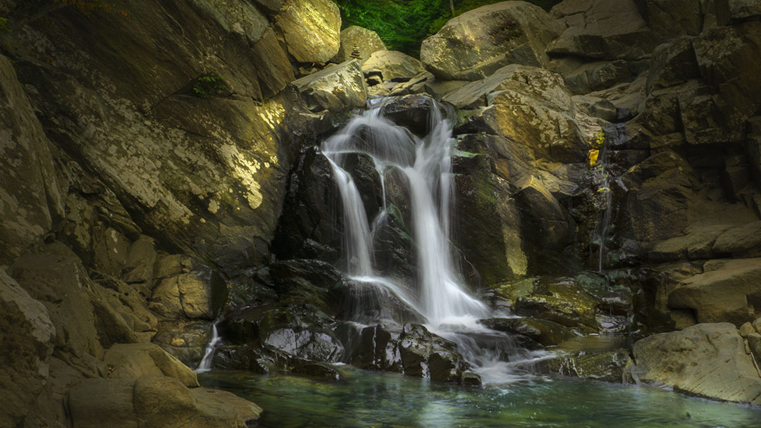
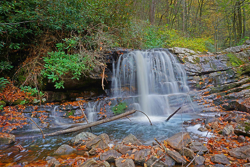
You’ve most probably driven right by Straight Branch Falls without knowing it’s there next to the road!
We think Straight Branch Falls is one of the prettiest roadside Falls in Virginia. It is only 20 feet high but very photogenic, especially in the Fall.
As a bonus, you can ride your bike on the very popular Virginia Creeper Trail nearby!
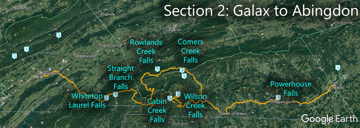
The Great Virginia Waterfall Trail
Straight Branch Falls is in Section 2 of the Great Virginia Waterfall Trail which travels 126 miles from Galax to Abingdon.
Directions
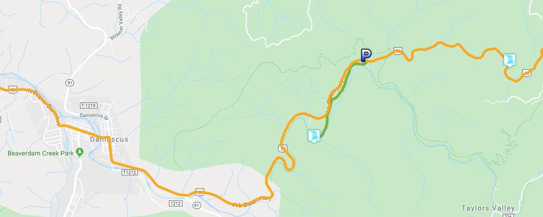
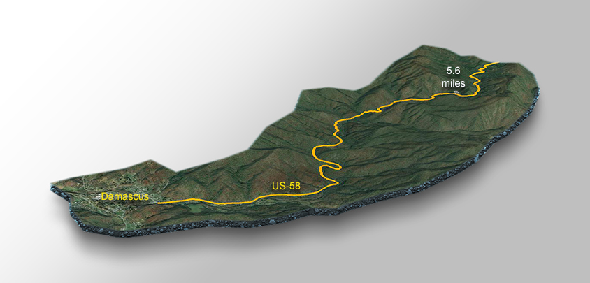
As you depart the town of Damascus on the south end, turn left on US-58 then drive for 5.5 miles before slowing down to look for a waterfall on the left.
Park in a small pullout (at 5.6 miles) then walk back a short distance. You will hear the Falls before seeing it!
Please be careful while walking. Some drivers do not slow down around those corners.
Trail Map
Google Map of Virginia Waterfalls
Straight Branch Falls is near Damascus on this Virginia Waterfalls map by Eben Schoeman.