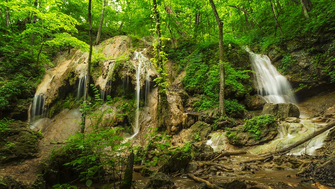
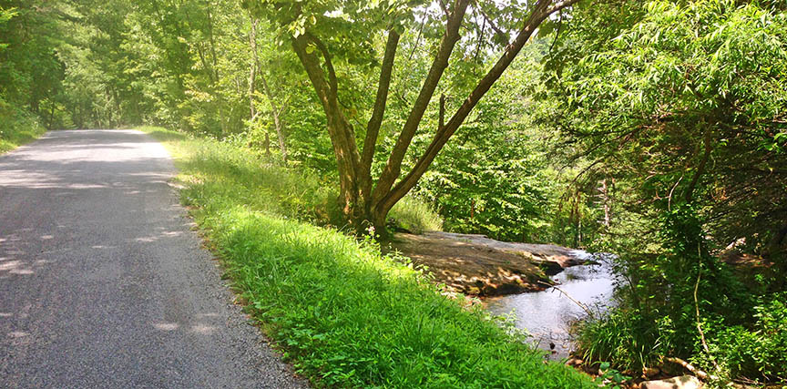
Statons Creek Falls is a really pretty cascade that is impossible to photograph as a whole. It is also quite dangerous to scramble down the rocks so we recommend you just focus on the higher cascade near the road.
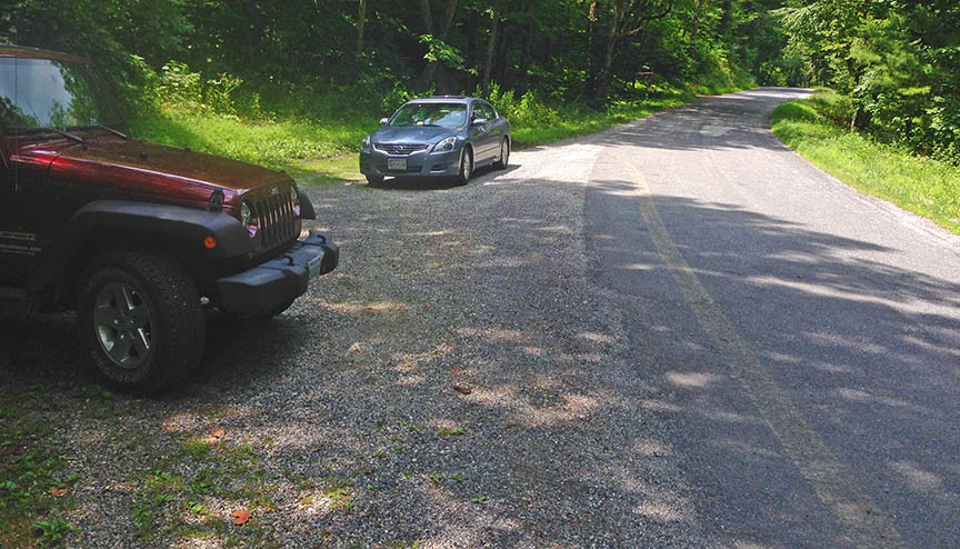
Statons Creek is a roadside waterfall – easy to access but parking is limited.
The Great Virginia Waterfall Trail
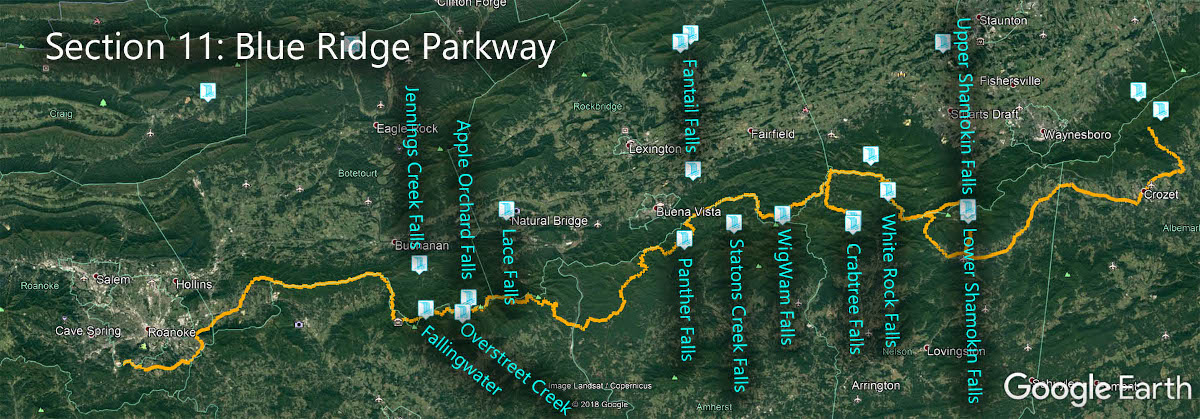
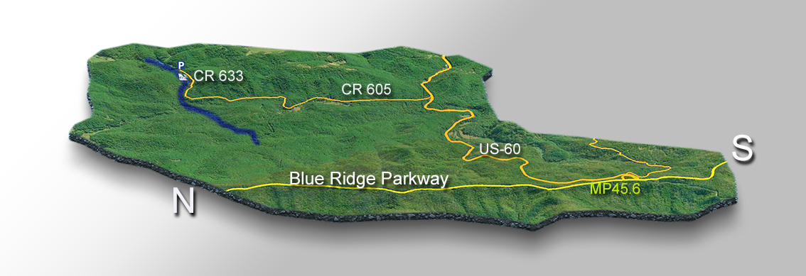
Statons Creek Falls is in Section 11 of the Great Virginia Waterfall Trail which travels 170 of the Blue Ridge Parkway.
Directions
There are many ways to get there but we focus on access from the famous Blue Ridge Parkway.
Driving south, turn left onto US-60 at mile 45.6. Drive 3.6 miles then turn left on CR-605 (Pedlar River Rd). After 2 miles turn right onto Fiddlers Green Way (CR 633). After 1 mile look for water on the left next to the road. The parking area is to the right just a short distance away.

Just walk on the rocks a short distance to see the upper cascade.
Trail Map
Google Map of Virginia Waterfalls
Statons Creek Falls Falls is near Buena Vista on this Virginia Waterfalls map by Eben Schoeman.