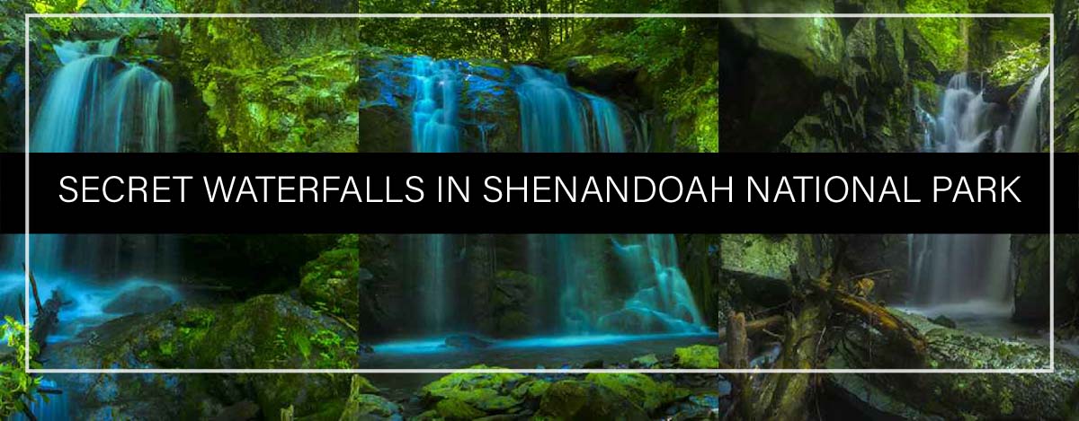
Escape the crowds at these secret waterfalls!
It is crowded on most days of the week at Shenandoah National Parks’ most popular waterfalls. Trailhead parking is a zoo after 9 am on weekends and there are lines of people on every waterfall trail.
Fortunately, there are other options for hikers who seek solitude and relaxed photo opportunities. Here is a list of “secret” waterfalls; most will take your breath away!
Please scroll to the bottom of the article for a detailed description, trail profile, map, and photos of each waterfall.
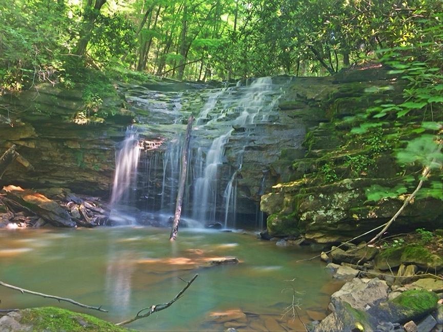
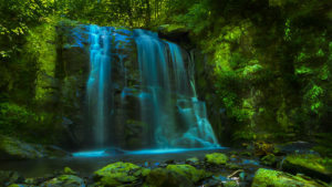
Falls of Big Creek
Trail – Bushwack (rough in places)
Length – 3 miles one-way down to the falls then you need to hike back up the mountain
Summary – At least 3 beautiful waterfalls (and more to be discovered!)
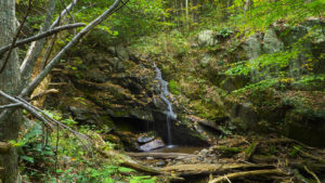
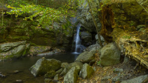
Falls of Naked Creek
Trail – Bushwack (rough in places)
Length – 1 mile one-way down to the falls then you need to hike back up the mountain
Summary – At least 3 beautiful waterfalls (and more to be discovered!)
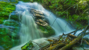
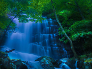
Falls of Dry Run Creek
Trail – Fire road and Bushwack (rough in places)
Length – 3 miles one-way down to the park boundary then you need to hike back up the mountain along the Creek to explore the waterfalls
Summary – At least 7 beautiful waterfalls (and more to be discovered!)
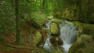
Big Rock Falls
Trail – Maintained trail (easy)
Length – 1.5 miles one-way down to the Falls then you need to hike back up the mountain
Summary – Nothing spectacular but it is a less crowded option when all other parking areas are full. The waterfall trail can be combined with the Laurel Prong Trail and Appalachian Trail for a tough 7.2 loop
Big Branch Falls
Trail – Maintained trail (flat and easy)
Length – 2.2 miles one-way to the Falls then you need to hike back to your vehicle
Summary – Not a secret by any means but a good option during the week if the Skyline Drive trails are busy. On weekends it is a popular swimming area for locals and UVA students and not recommended.
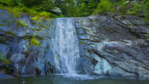
Hazel Falls
Trail – Maintained trail (somewhat steep)
Length – 2.6 miles one-way down to the Falls then you need to hike back up the mountain
Summary – Nothing spectacular but it is a less crowded option when the popular waterfalls are busy. Unfortunately, the parking area is small. Fortunately, most hikers will head in another direction and you may have the Falls all to yourself.
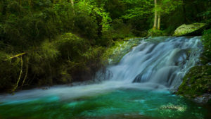
Riprap Falls
Trail – Maintained trail (long and somewhat steep)
Length – 9.2 miles loop is recommended but you can hike down about 3.4 miles to the swimming hole and return back up the mountain
Summary – The swimming hole is popular with locals on weekends but coming from Skyline Drive you won’t see many people! The Creek above the swimming hole has many smaller waterfalls and is very scenic.
Little Devils Stairs Falls
Trail – Maintained trail (easy but slightly steep near the Falls)
Length – 1.4 miles one-way down to the Falls then you need to hike back up the mountain
Summary – Nothing spectacular but it is a less crowded option when all other parking areas are full. The waterfall trail can be combined with other trails in the area.
———————————————————————————
Falls of Naked Creek – 3D Map, Photos and Directions – Shenandoah National Park
Little Devils Stairs Falls – 3D Map, Photos and Directions – Shenandoah National Park
Falls of Dry Run Creek – 3D Map, Photos and Directions – Shenandoah National Park
Riprap Falls – 3D Map, Photos and Directions – Shenandoah National Park
Hazel Falls – 3D Maps, Photos and Directions – Shenandoah National Park
Big Rock Falls – 3D Map, Photos and Directions – Shenandoah National Park
Big Branch Falls – 3D Map, Photos and Directions – Shenandoah National Park
Falls of Big Creek – 3D Map, Photos and Directions – Shenandoah National Park