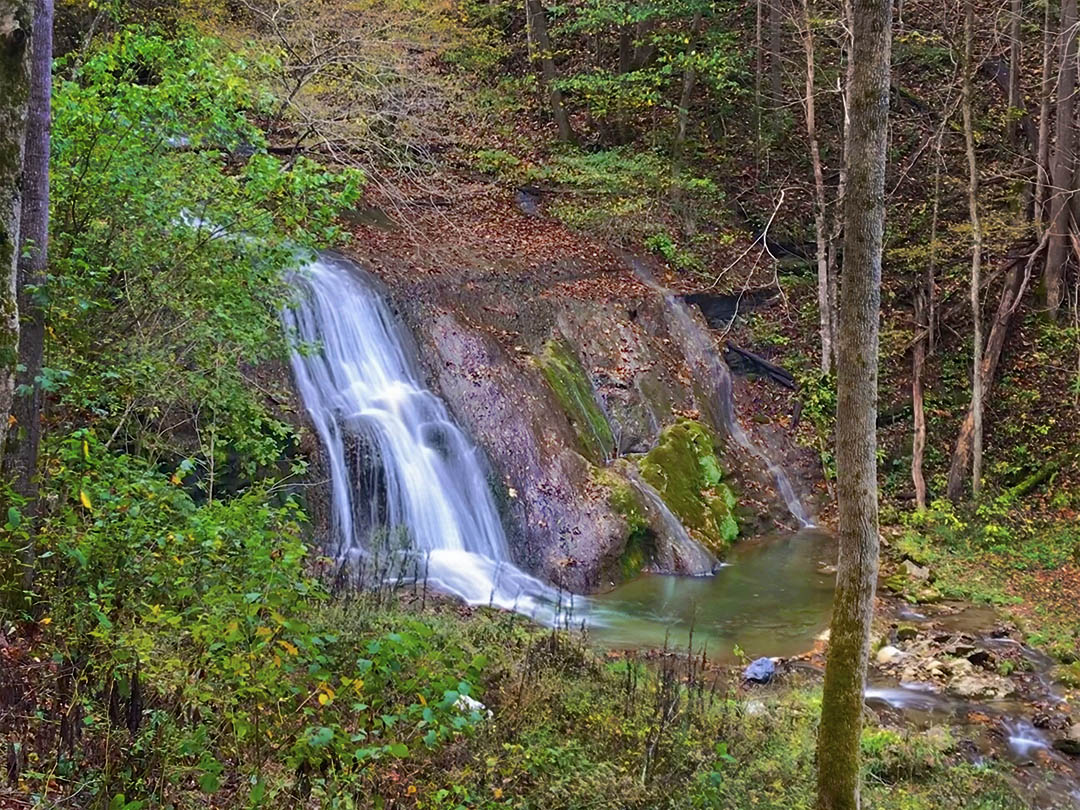
Scott’s Run Nature Preserve is home to several challenging hiking trails and a photogenic waterfall appropriately named Scott’s Run Waterfall!
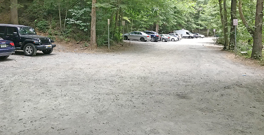
The area is popular with local hikers (and their dogs) and the recommended parking lot fills early on weekends!
The Great Virginia Waterfall Trail
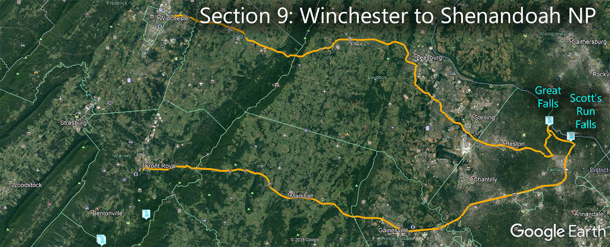
Scott’s Run Waterfall is in Section 9 of the Great Virginia Waterfall Trail which travels 132 miles from Winchester to Shenandoah National Park.
Directions
From the Beltway, exit to Georgetown Pike (VA-193) west towards Great Falls. The Preserve parking area is 0.6 miles away on the right.
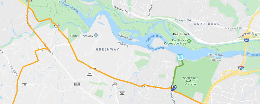
Trail Map
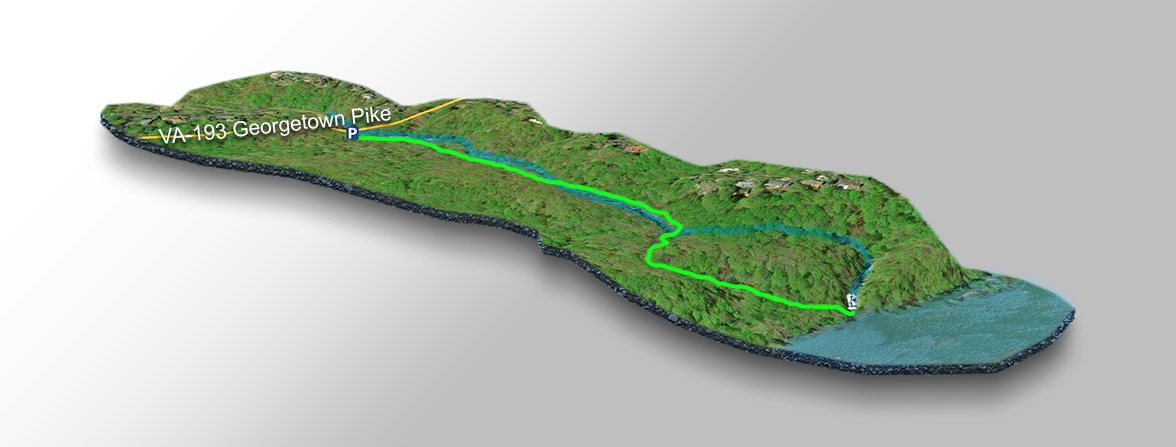
The Trail
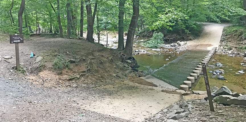
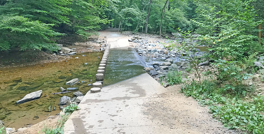
The 1.5-mile (return) hike has some gentle uphill sections but the trail is well-maintained and easy on the feet. You do cross Scott’s Run twice but should not get your feet wet thanks to the artificial stepping stones!
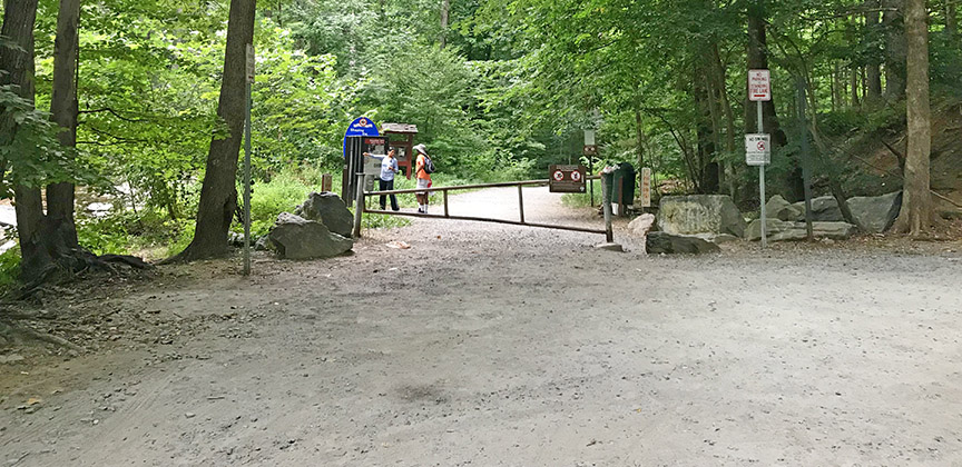
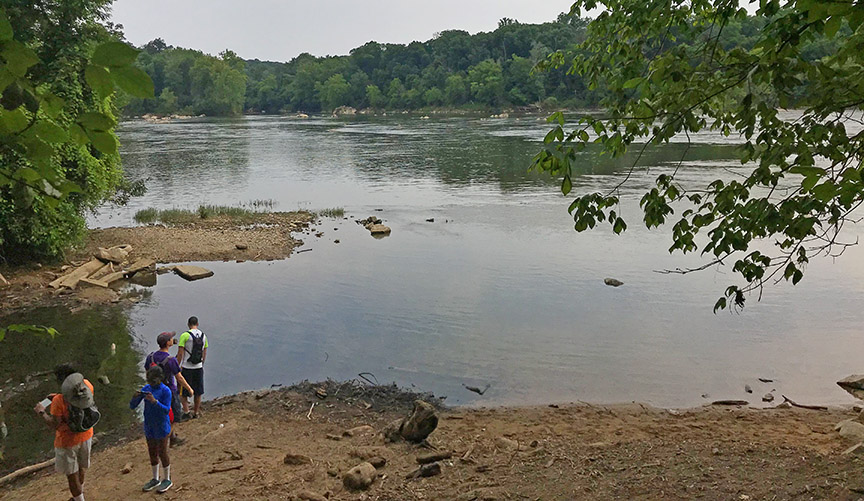
Walk north towards the kiosk and follow the light-blue blazed trail. The waterfall is at the end where Scott’s Run spills over into the Potomac River.
NOTE – Unfortunately the Preserve suffers from vandalism and littering. It is not uncommon to find trash and graffiti next to the waterfall which is a shame.
Scott’s Run Nature Preserve Home
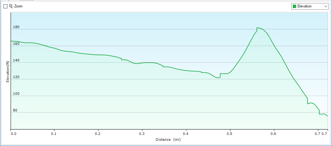
Trail Profile
Google Map of Virginia Waterfalls
Scott’s Run Falls is near McLean on this Virginia Waterfalls map by Eben Schoeman.