If you are looking for a semi-challenging hike to a remote waterfall then Rowlands Creek Falls – a 3.2-mile (round-trip) outing – is for you! It is in the middle of nowhere – the closest large town is Chilhowie but some distance away!
While the trail itself is not difficult, do go prepared when hiking to Rowlands Creek Falls.
Once you reach the top of the Falls, you have to scramble down the slippery banks to reach the base and this is where you may get hurt
Just in case something goes wrong, please pack everything you need to survive a night or two while waiting for rescue.
I urge you to read Eben Schoeman’s post about Bushwacking to Virginia Waterfalls!

The Great Virginia Waterfall Trail
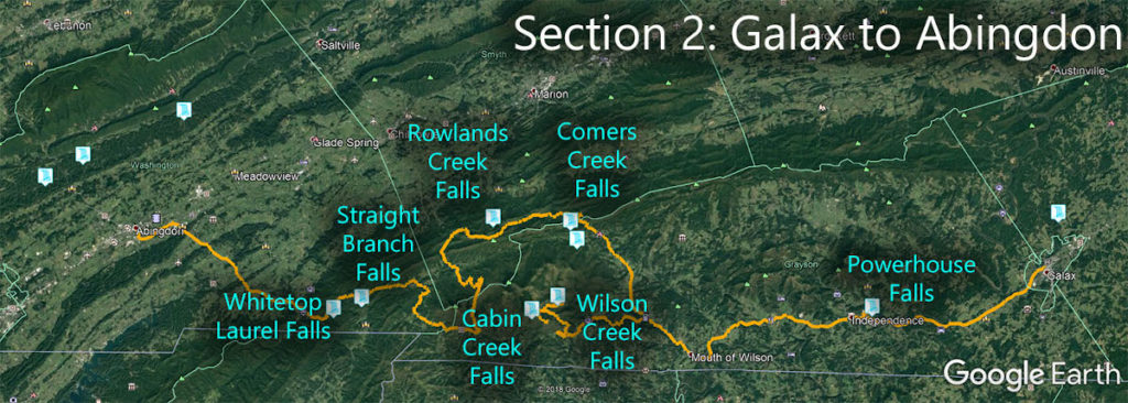
Rowlands Creek Falls is in Section 2 of the Great Virginia Waterfall Trail which travels 126 miles from Galax to Abingdon.
Directions
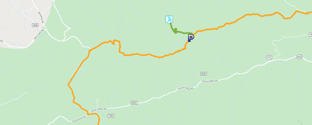
The easiest way is to find the USFS Hurricane Campground on a map. That will take you close. Then you follow an unpaved road west (Hurricane Rd) for about 4.5 miles. At some point, this becomes Skulls Gap Rd but it does not matter much. The trailhead will be on your right.
Should you start from the Chilhowie area, follow Whitetop Rd (CR-600) south and turn left onto unpaved Skulls Gap Rd. From here the trailhead will be on your left about 4.5 miles east. Again, at some point, the road becomes Hurricane Rd but do not be overly concerned about road names.
Note that we call the access road ‘Skulls Gap Road’ but it could also be Hurricane Rd.
The parking area is very small but you can park next to the road somewhere.
Trail Map
The Trail
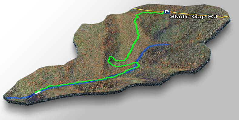
Once parked, look for the Rowlands Creek TR sign and enter past the gate. Another sign states the Falls are 1-1/2 miles. Follow the trail east for a short distance until you see a 3rd sign for Rowlands Creek TR. Turn left past another gate and follow the fire road down the hill until you get to the creek.
Once you cross the creek, look for the trail to turn right. Follow the creek (crossing it a few times) until you hear the thundering waterfall on your left.
Continue down until you see the base of the Falls on your left and then bushwack a short distance down to it.
Trail Profile
Google Map of Virginia Waterfalls
Rowlands Creek Falls is near Skulls Gap on this Virginia Waterfalls map by Eben Schoeman.

