Looking for a long, challenging hike with waterfalls, swimming holes, mountain vistas, and wilderness? Then Riprap Falls should be on your list!
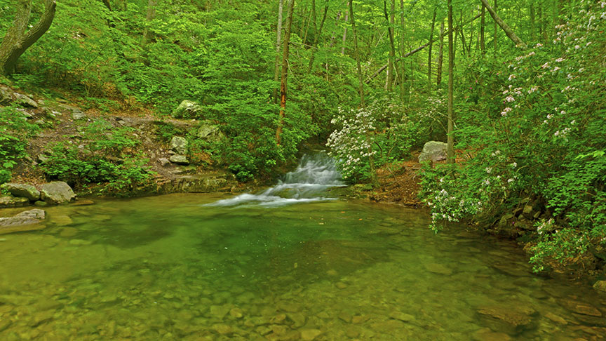
For the best waterfall opportunities go when Meadow Run is flowing nicely – meaning after a rainy period. The swimming hole is good even when the creeks are dry in summer.
This is wilderness hiking (a rough trail) and more secluded than many other trails in Shenandoah so please read Eben Schoeman’s post about Hiking Safety.
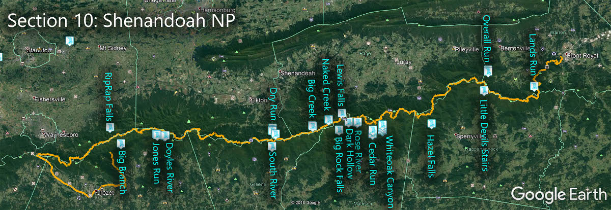
The Great Virginia Waterfall Trail
RipRap Falls is in Section 10 of the Great Virginia Waterfall Trail which travels the 127 miles of Shenandoah National Park.
Directions
NOTE – Some maps show there is parking in the valley near the swimming hole. Landowners will take action if you park there. DON’T. My recommendation is to hike from Skyline Drive.
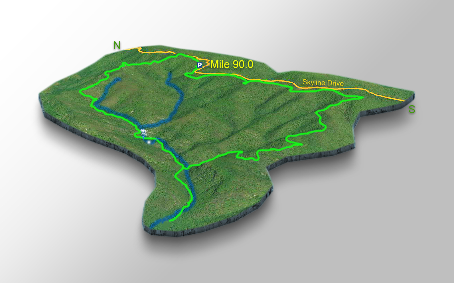
Since it is a long and steep 9.2-mile hike, it is best to get an early start! In Shenandoah NP, park at mile 90 in the small parking lot for the Riprap Trail.

Trail Map
The Trail
You can do this hike in several ways but we prefer the 9.2-mile loop – combining the Riprap Trail, Wildcat Ridge Trail, and Appalachian Trail.
It is best to hike anti-clockwise in our opinion so you can catch the scenic views in the early morning.
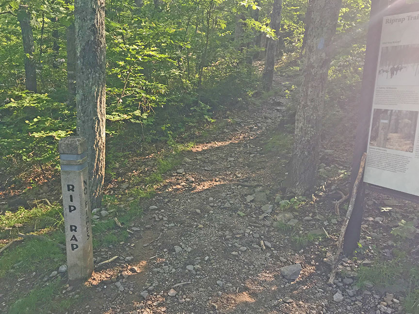
As you start on the trail, turn right and follow the Appalachian Trail (White-blazed) for about 0.35 miles then turn left on the Blue-blazed Riprap Trail.
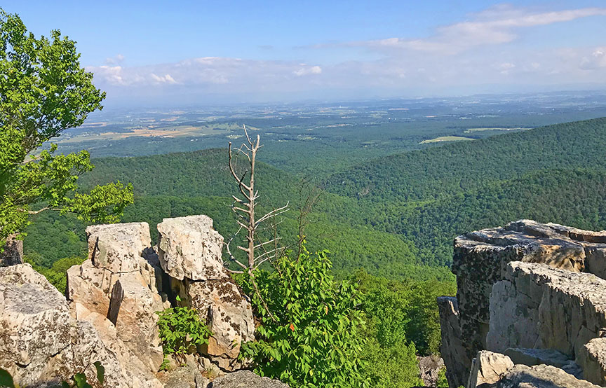
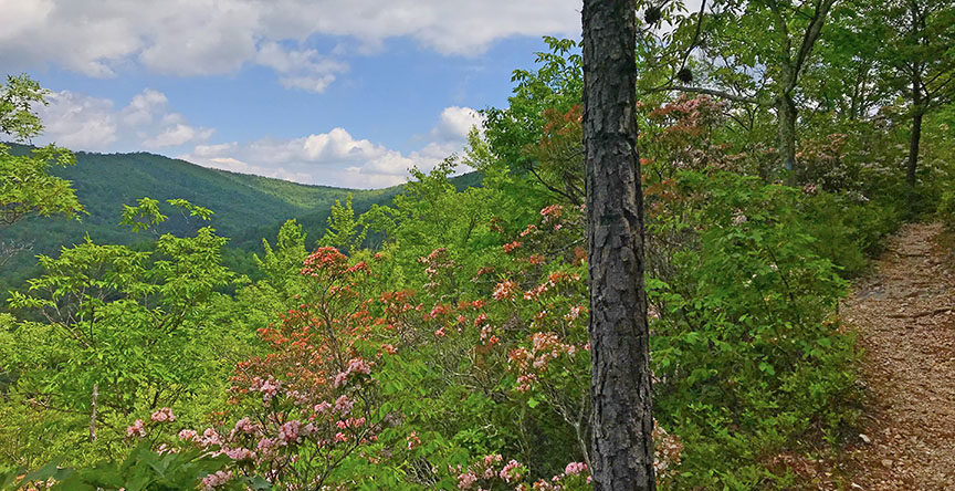
At the 1-mile mark, you will get a great view of the valley below. There are even better views at 1.3 miles (Calvary Rock) and 1.5 miles (Chimney Rock).
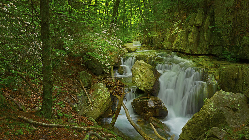
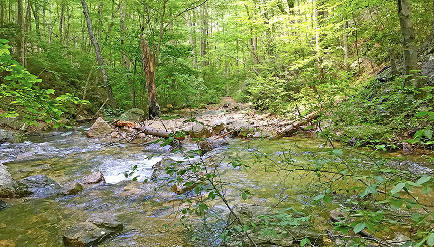
The trail will now head downhill rather steeply. At around 3 miles you will hear water to your left as Meadow Run comes into view. You will now follow the stream until you head uphill again.
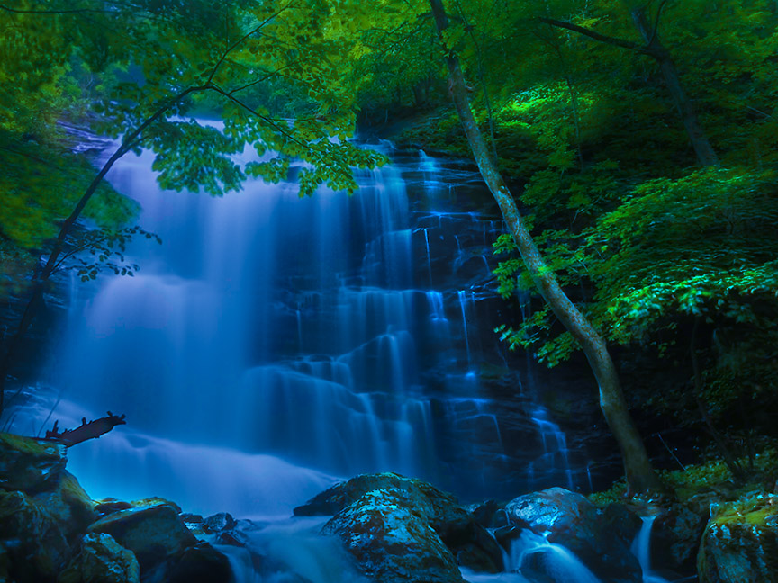
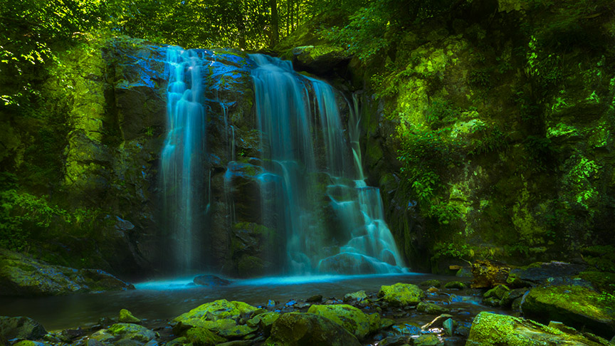
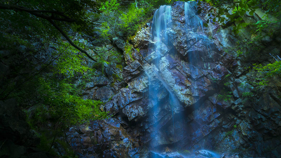
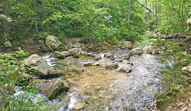
Riprap Falls begins at 3.15 miles and is a series of cascades. You can bushwack downstream to find your perfect scene but our photo was taken from the trail!
At 3.3 miles you will cross Meadow Run and shortly after the swimming hole appears to your left!
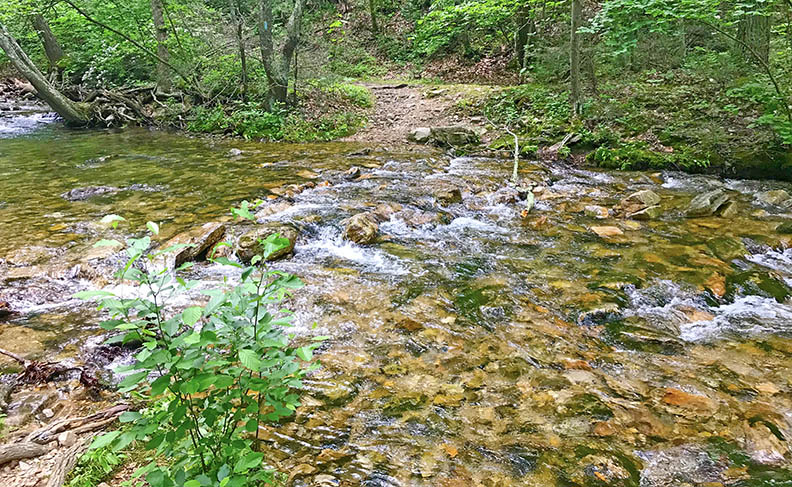
After crossing back over Meadow Run at 3.5 miles your next goal is to find the trail leading you back up the mountain!
At 4.1 miles the Wildcat Ridge Trail appears suddenly and you may miss it if not attentive.
Turn left, cross Meadow Run, and begin the long and steady climb.
You are now in deep woods and there won’t be any views until high up along the trail.
At 6.5 miles you will reach the Appalachian Trail. Turn left and hike north for 2.7 miles back to your vehicle.
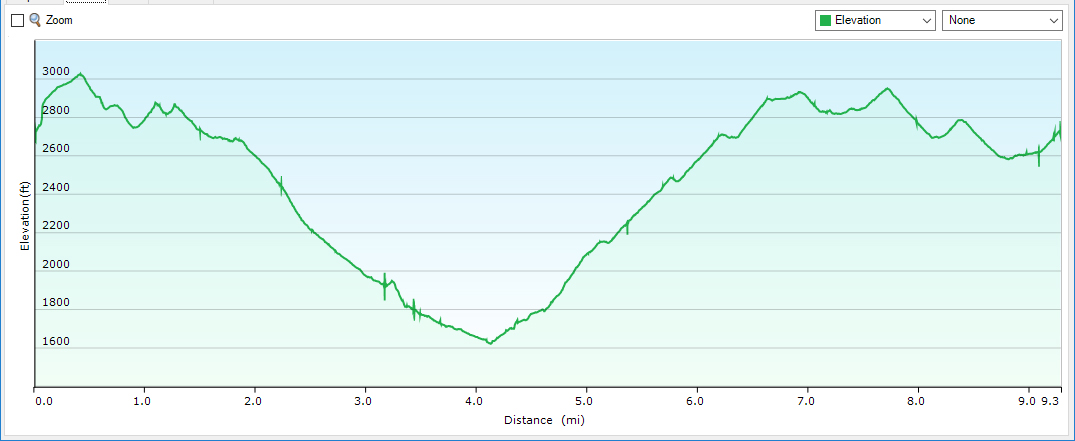
Trail Profile
Google Map of Virginia Waterfalls
RipRap Falls is in Shenandoah National Park on this Virginia Waterfalls map by Eben Schoeman.