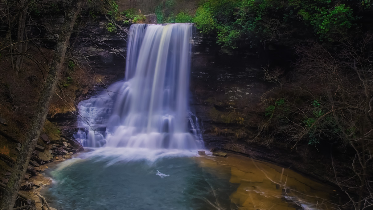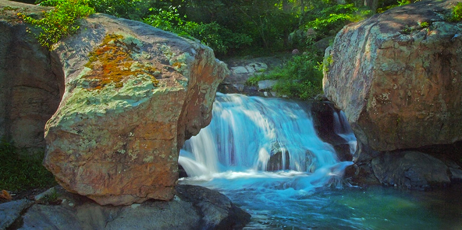
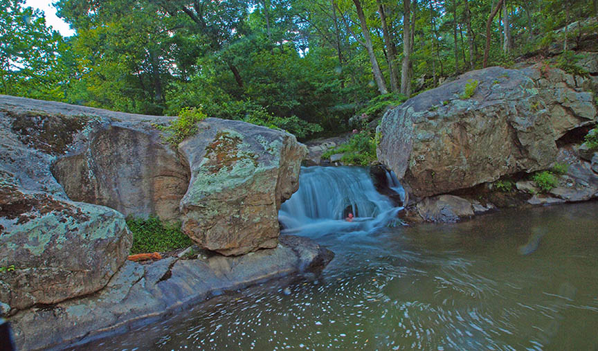
Panther Falls VA is a very popular local swimming hole on the Pedlar River near Buena Vista. The waterfall is only 10 feet high but the surrounding rocks provide two perfect jumping-off platforms.
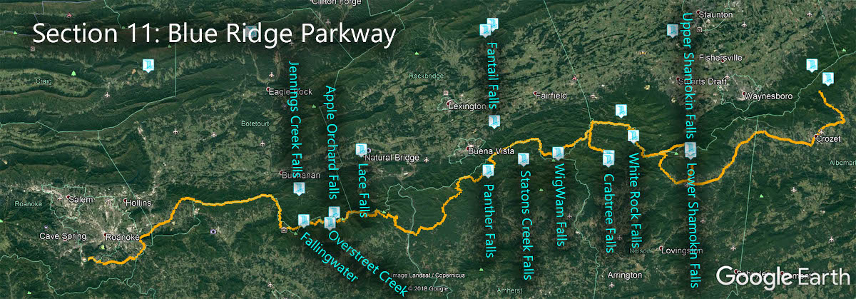
The Great Virginia Waterfall Trail
Panther Falls VA is in Section 11 of the Great Virginia Waterfall Trail which travels 170 of the Blue Ridge Parkway.
Directions
Despite its popularity and not unlike many other waterfalls, its location is somewhat of a challenge for visitors new to the area. We were surprised that accurate directions were a bit difficult to obtain!
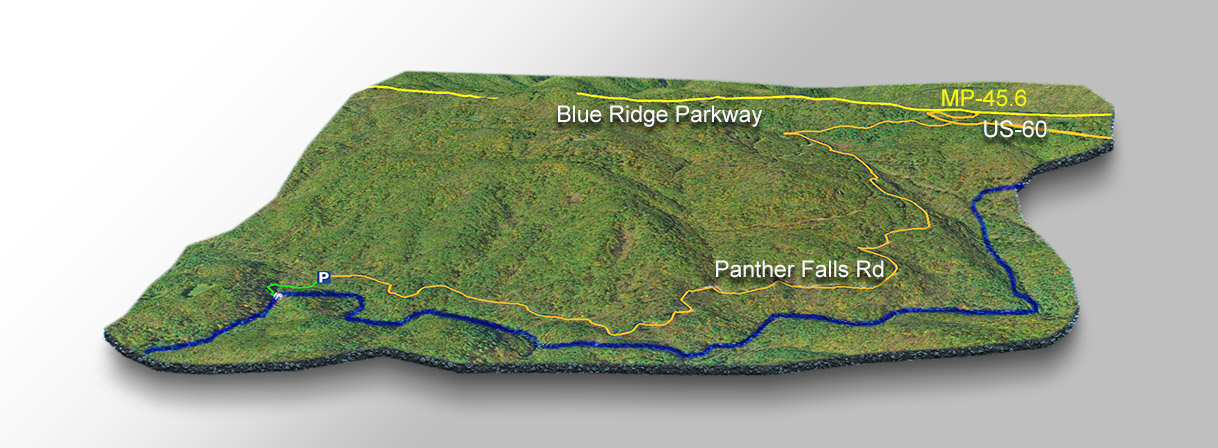
You can approach Panther Falls from several directions but let’s drive south along the Blue Ridge Parkway. At mile 45.6 turn east on US-60 then turn right on Panther Falls Road after 0.3 miles.
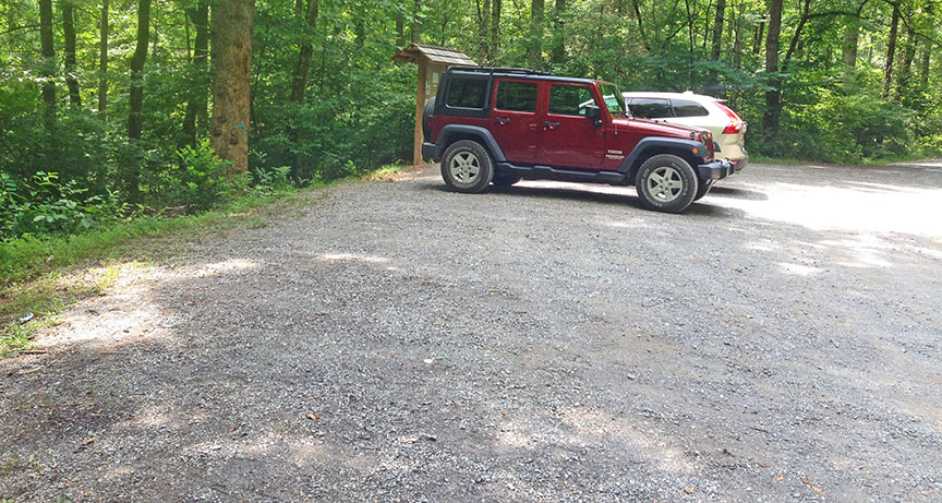
Follow the unpaved Panther Falls Road for 3.1 miles to a parking area.

Trail Map
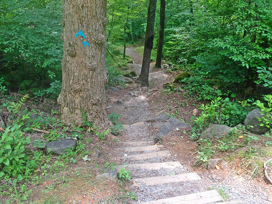
The Trail
The Falls are an easy 0.2 walk along a clear path.
Go early on weekends unless you enjoy the screaming company of many!
Google Map of Virginia Waterfalls
Panther Falls is near Buena Vista on this Virginia Waterfalls map by Eben Schoeman.