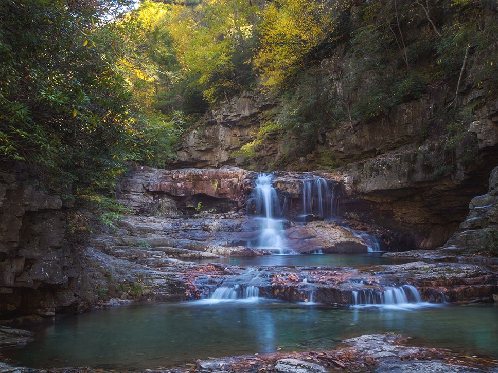
Logan Creek Falls is surprisingly large for a roadside waterfall! And with very easy access if you can handle mud, some poison ivy, and a slippery scramble down to its base!
But you can also view the Falls from the top after a very short walk from your vehicle.
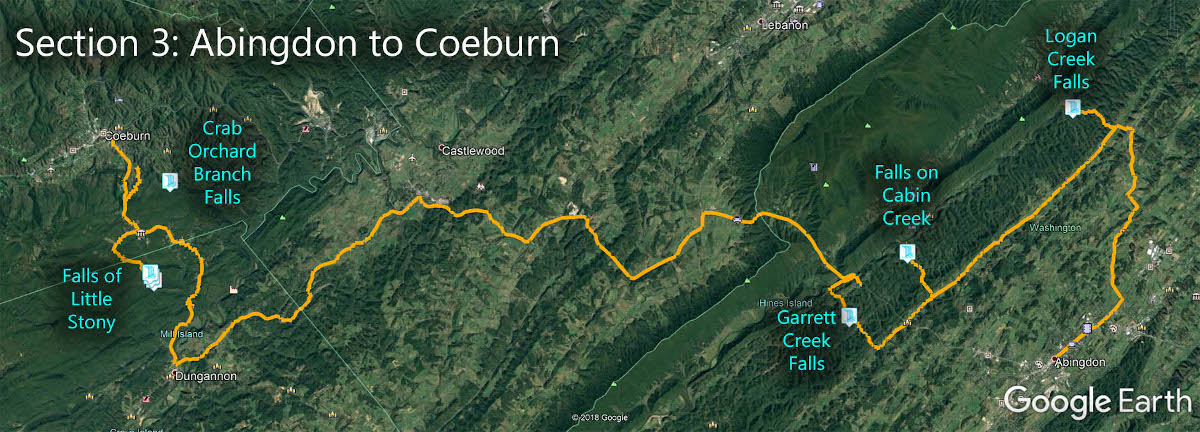
The Great Virginia Waterfall Trail
Logan Creek Falls is in Section 3 of the Great Virginia Waterfall Trail which travels 83 miles from Abingdon and Coeburn.
Directions to Logan Falls
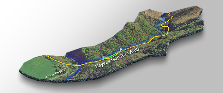
Logan Creek Falls is to the northwest of Meadowview. You simply pick up VA-80 (Lindell Rd) in town and follow Logan Creek straight to the Falls! At Rich Valley Rd make a left then a right to continue on VA-80 on Hayters Gap Rd.
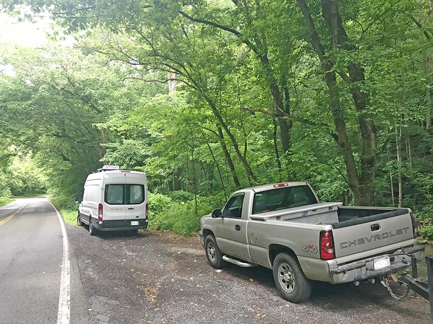
Follow Hayters Gap Rd for 1.6 miles and you will see the small parking area on the right. There is room for 4 or 5 vehicles.

Trail Map
The Trail
The trail starts to your left.
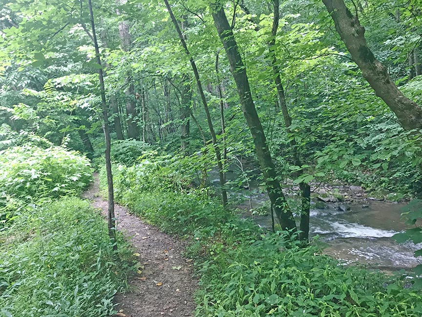
After just 50 yards or so you will hear the Falls and then it is just a matter of finding your perfect viewing spot! The trail continues with several access areas to the base of the Falls but these are slippery!
Google Map of Virginia Waterfalls
Logan Creek Falls is near Meadowview on this Virginia Waterfalls map by Eben Schoeman.