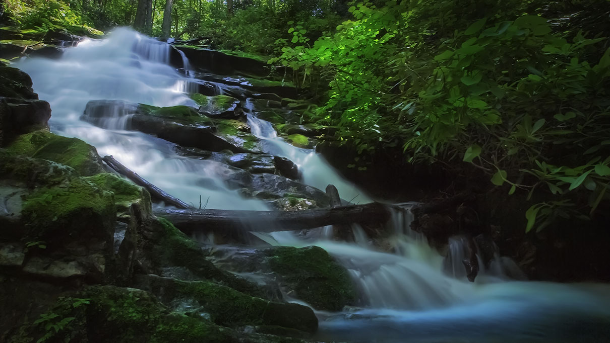
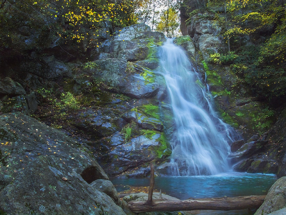
Its proximity to Big Meadows makes Lewis Falls a very popular destination in Shenandoah National Park.
Unfortunately in summer, the waterfall slows down to a mere trickle but if you visit after heavy rains it can be very spectacular.
The Great Virginia Waterfall Trail
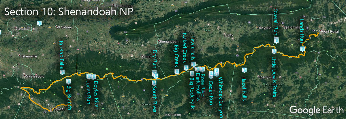
Lewis Falls is in Section 10 of the Great Virginia Waterfall Trail which travels the 127 miles of Shenandoah National Park.
Directions
Park in the small lot at mile 54.4 (west side of the road) or across the road at mile 54.3.
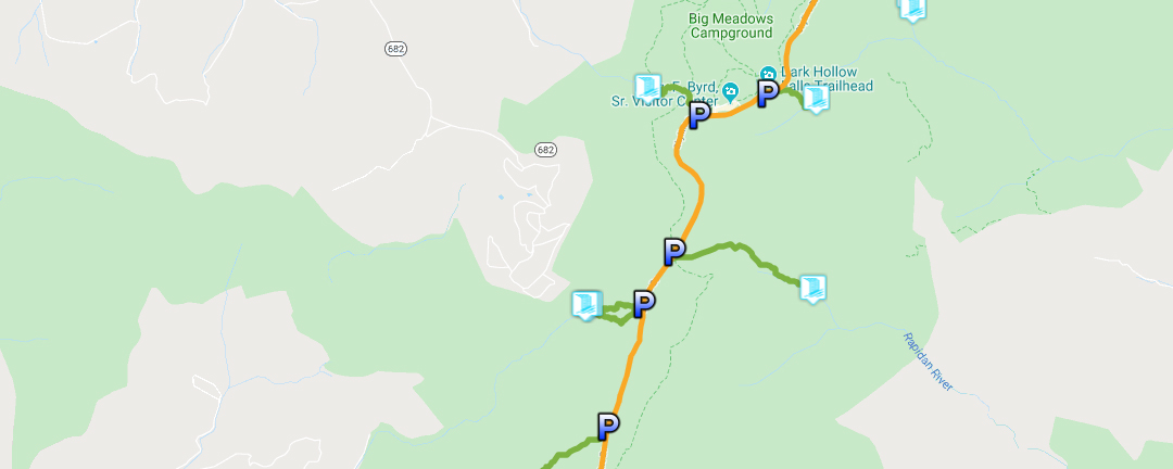
Trail Map
The Trail
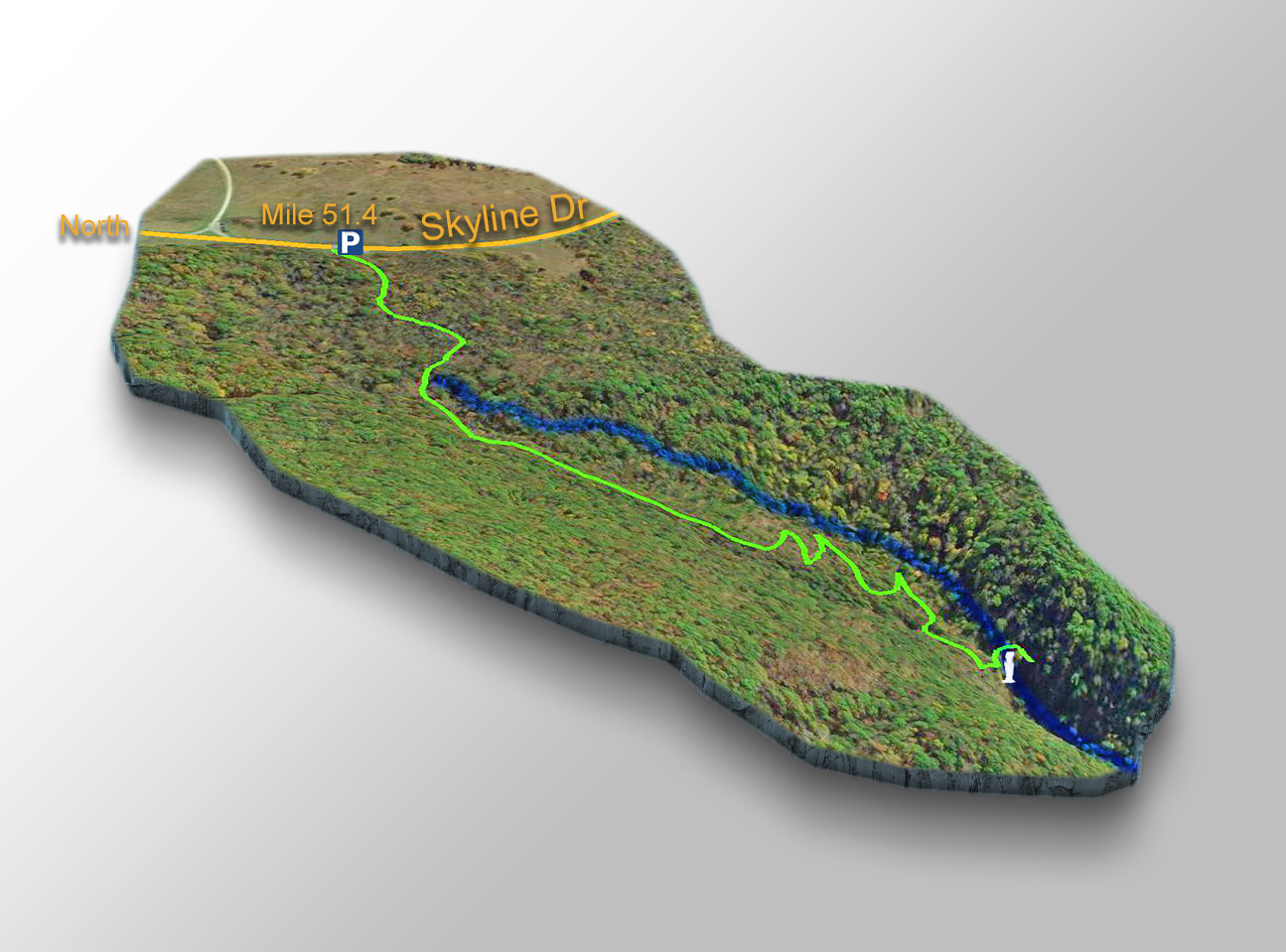
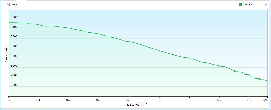
The 0.9-mile trail is steep, rocky, and straight down and it gets slippery near the waterfall so please wear proper shoes!
The blue-blazed trail is marked and crosses the Appalachian Trail. Near the Falls it meets up with the Lewis Spring Falls Trail coming from the amphitheater at Big Meadows. You can do a loop hike when combining these 3 trails.
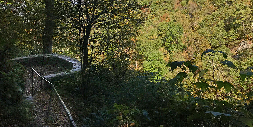
There is an observation point above the Falls with handrails for safety and while it is possible to bushwhack down to the base I’ve decided to not show that trail.
The reason is simple – the trail to the base is dangerous and in full view of folks at the observation point (especially when the vegetation is thin). I do not want to encourage the general tourist (with no bushwacking experience) to try and follow anyone down to the base.
Trail Profile
Google Map of Virginia Waterfalls
Lewis Falls is in Shenandoah National Park on this Virginia Waterfalls map by Eben Schoeman.