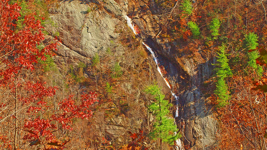
Lands Run Falls is a great little leg-stretcher hike not far from the northern entrance to Shenandoah National Park. It is only 0.6 miles to the Falls with a gentle profile.
BUT – the Falls require a bit of bushwacking and it is very steep next to the creek. Use caution.
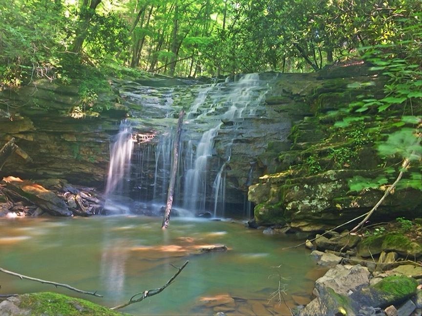
Most folks do not know about this waterfall and in summer it is a tiny trickle so do plan to visit after heavy rains!
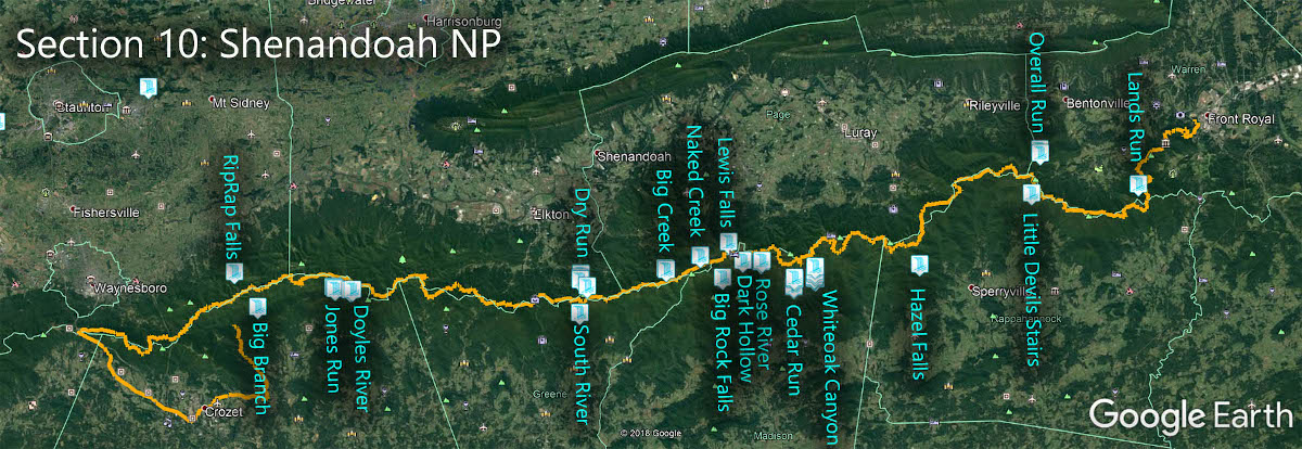
The Great Virginia Waterfall Trail
Lands Run Falls is in Section 10 of the Great Virginia Waterfall Trail which travels the 127 miles of Shenandoah National Park.
Directions
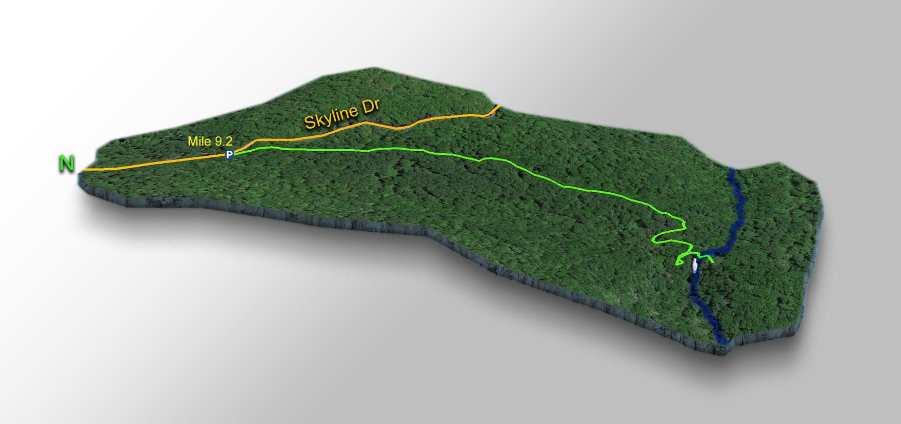
Park at the Lands Run parking area at mile 9.2
Trail Map
The Trail
Follow the fire road down until you cross Lands Run at 0.6 miles. You are now at the top of the Falls.
At that point retrace your steps a few yards and turn downhill. The creek should be on your left as you scramble down. Soon you will hear and see the Lands Run Falls then it is time to be extra careful!
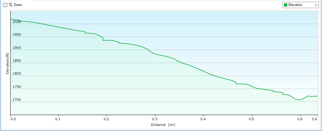
Trail Profile
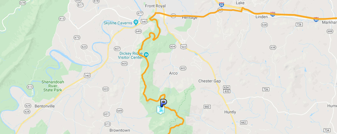
Google Map of Virginia Waterfalls
Lands Run Falls is in Shenandoah National Park on this Virginia Waterfalls map by Eben Schoeman.