Updated for 2024
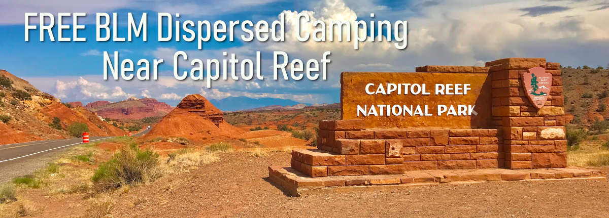
This is a complete guide to FREE dispersed camping on BLM land between Torrey and Capitol Reef National Park in Utah. There are also free camping opportunities to the East of Capitol Reef NP – this guide focuses on the dispersed camping areas to the West.

In this guide, you will find maps with directions, updates on road conditions, locations of most campsites, and availability of amenities such as cell coverage, water, and toilets.

About BLM land and Fishlake National Forest near Capitol Reef NP
The western flank of Capitol Reef borders BLM land to the west and Fishland National Forest to the northwest. This is good news for campers!
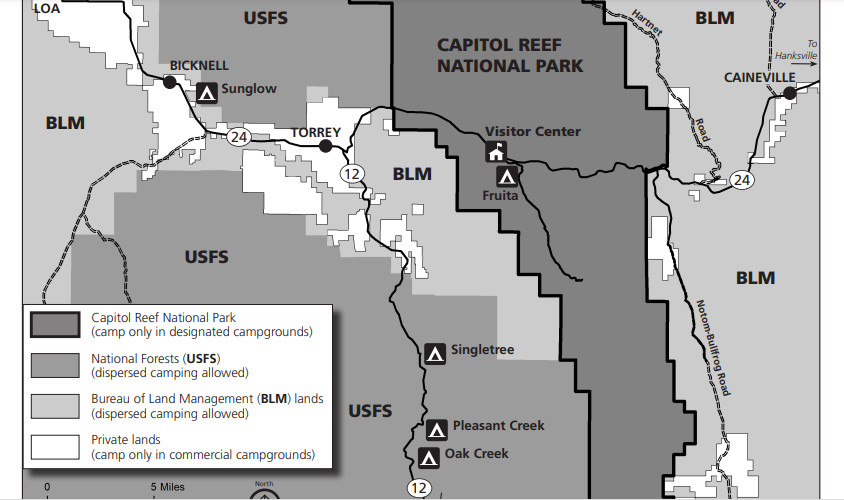
BLM – Richfield Field Office website
Fishlake National Forest – Fremont River Ranger District website

Maps and Directions
I highly recommend the Avenza Maps App!
Download https://www.blm.gov/sites/blm.gov/files/uploads/BLMUtahWayneCountyWestMap.pdf
For directions, use the Interactive Map https://webmaps.blm.gov/program_apps/BLM_Natl_Recreation_Opportunities/
Campground Camping within Capitol Reef National Park
The 71-site Fruita Campground is the only developed campground in Capitol Reef. Reservations are available from March 1- October 31.
Recommended FREE Camping Areas nearest to Capitol Reef National Park
On BLM and USFS lands, you must camp within 150 feet (45 m) of officially designated routes, and only on existing spur roads. Please respect private property and other areas closed to camping.
Dispersed camping is allowed on BLM land for a period not to exceed 14 days within a 28-consecutive-day period. The 28-day period begins when a camper initially occupies a specific location on public lands. The 14-day limit may be reached either through several separate visits or through 14 days of continuous overnight occupation during the 28 days.
After the 14th day of occupation, the camper must move outside of a 25-mile radius of the previous location until the 29th day of the initial occupation.
Regarding potable water and toilets – there are toilets at the Wayne County Tourism Office in Torrey. Water is available at the Phillips 66 across the road.
There are three dispersed areas west of Capitol Reef very close to the Park boundary – in distance order :
- Trail 2111 Entrance of Fishlake National Forest
- Sulphur Creek Road (BLM)
- Beas Lewis Flat Road and vicinity (BLM)

Trail 2111 Entrance
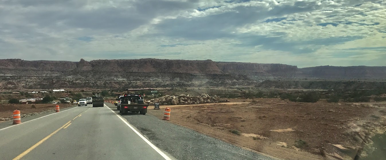
On the west side of Scenic Byway 24, the Cook’s Mesa Trailhead offers a large open area for camping. It gets busy in there and there are few opportunities for privacy.
If the construction conditions are too crazy for you, try Pandora’s Box Slot Canyon Trailhead just a few hundred yards toward Torrey. It is another open area with no privacy close to Byway 24.
A Forest Road is leading west/south across the road from Cook’s Mesa Trailhead with potential camping spots near Byway 24 but the construction crews blocked access during my last visit.
Good Verizon signal

Sulphur Creek Road
Across the road from the Noor Hotel, Sulphur Creek Road (CR81) has several sites with splendid views of the surroundings.

The road is bumpy and there is a section that is exposed to flash flood waters. Be weather aware.
Also, keep an eye on the map and respect the private property along the route, especially on the left and also on the site used by a local Yoga Company.
There are a few sites before the cattle guard but cell service gets better further along the road and there are a few really good spots towards the high point.
Verizon has increasingly good LTE service at these campsites after the cattle grid as you drive toward a high point.
I marked most of the sites on the map below but not all of them. During busy times you may see folks camped in smaller turnouts.


Beas Lewis Flat Road and vicinity (BLM)
I recommend this area for dispersed camping near Capitol Reef National Park!

The entrance is along Byway 24 just a short distance from the Wayne County Tourism office.

The road is bumpy and quite safe if you stay on the main road. Once you turn south, you cross a creek that can flood so be weather-aware!
The best sites are on the other side of the cattle guard but there are a few sites before the guard if you want.
I marked most of the sites on the map below, but when it gets busy folks will camp everywhere including right next to you! NOTE – there are many more sites available if you continue south after crossing the creek. I did not mark those on the map.
Verizon has very good cell service at these sites.