Updated for 2024
A detailed guide to FREE BLM camping west of Yuma, Arizona along Ogilby Road, American Girl Mine Road, and Sidewinder Road. The fee-based Pilot Knob LTVA (Long Term Visitor Area) is also covered. These areas are actually in California!
This very large BLM area offers free camping in 3 areas as well as the fee-based LTVA campground at Pilot Knob.
Location
About 25 minutes west of Yuma in California when traveling along I-8.
Folks refer to the free areas by many names. Some say they camped along Sidewinder Road. Others camped along American Girl Mine Road. Many refer to this as Ogilby Road camping and I will do the same for it is less confusing.
The main camping area is East of Ogilby Rd once you cross the railroad tracks. Folks then camp along Sidewinder Rd, American Girl Mine Rd, or one of several smaller roads as shown on my map above.
A note about Sidewinder Road. One can turn north on Sidewinder from I-8 and enjoy the tarmac for a short distance before it turns to packed dirt and eventually sand then back to packed dirt before reaching Ogilby Road. On my map, I indicated the sandy area as impassable because I do not want you to get stuck!
Let’s look at each of the areas in detail.
Area GPS Map
I highly recommend the Avenza Maps App!
Download the BLM Routes of Travel for NECO Brochure Map to see the Public Lands and boundaries for this area. Install this map with Avenza.
On the map below, click on the square in the top-right corner for a full-screen view.
Pilot Knob LTVA
From I-8, take the Sidewinder Road exit then head south past the gas station. The LTVA is to the right.
Fee season September 15-April 15 $180, $80 4-week stay, $40 2-week stay; 14 days camping free April 16-September 14. Please visit the website for the latest rates.
This LTVA is close to the Mexican border if you have safety concerns but it is hosted and authorities patrol the area regularly.
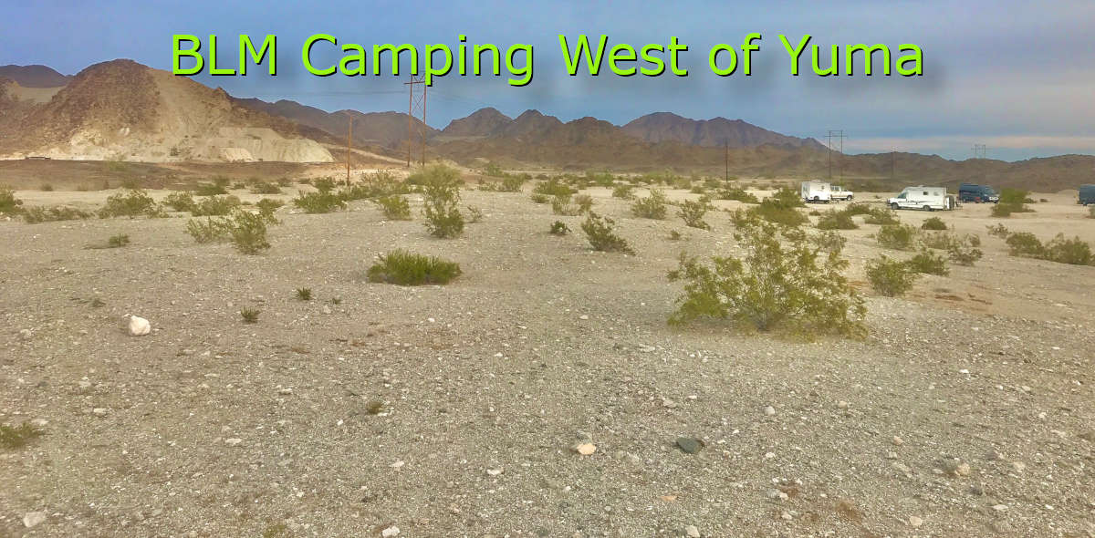
It is a barren area and you will hardly find a tree as shown in my photo above. But it is an easy drive from here to Yuma or Los Algodones (for affordable health care in Mexico).
Only self-contained units are allowed (Porta-Potti’s not welcome). Dumpsters are available but nothing else. There is a gas station nearby with a water kiosk.
Good Verizon service.
FREE BLM along FR745 near Pilot Knob
If you want to camp near the LTVA for security but looking for free BLM land, then turn right just before the LTVA campground entrance. This is FR745 and you will see a sign stating that no camping is allowed for 1.6 miles. Please see my map above.
Note – you cannot camp within 1 mile of the LTVA fence in any direction.
The dirt road gets a bit sandy but is doable without 4WD.
This free area is rarely crowded but barren and next to the Mexican border. It is a good choice if you want to explore the Imperial Sand Dunes with your ATV.
Good Verizon service.
Sidewinder Road South near I-8
Take the Sidewinder Road exit and head north on the tarmac road. Cross the railroad tracks. Continue until the dirt road starts then start to look for camping to the right. Please study my map above.
NOTE – This area is tricky. The official BLM maps show plenty of private property, especially to the left of the road but also on the right. Yet, there are always several RVs parked in these “private” blocks. I suggest you forego the temptation, study the BLM map (link above), and make sure you camp legally.
Verizon’s service is poor. It gets worse the further north you drive.
At some point, Sidewinder Road South changes to a sandy mess. I suggest you avoid traveling further!
Ogilby Road
This area gets my vote for the best FREE BLM camping west of Yuma.
From I-8, turn north on Ogilby Road and drive north to the railroad crossing. Do not camp anywhere along this stretch unless you have a permit for the Imperial Sand Dunes. Permits are required to enter the Imperial Sand Dunes (Glamis) from October 1 through April 15 each year. See my map above.
Once you cross the railroad tracks, the camping fun begins. You have many choices – most folks camp to the right.
- Sidewinder Road – the first exit to the right. Do not camp within the first 1.6 miles according to the BLM map.
- American Girl Mine Road – the second exit to the right. Do not camp within the first 0.8 miles according to the BLM map.
- At least 4 unnamed dirt roads turn to the right over the next mile or so. Camp anywhere!
This area is great with plenty of small trees for some shade and privacy. The roads are packed dirt and good for all vehicles but avoid the washes unless you want to get stuck. Folks camp back to the power lines that run north/south near the “still active” mines.
Verizon service is strong but gets weaker to the south in the hills.
Other BLM Camping options near Yuma
FREE BLM Camping near Yuma, AZ – Mittry Lake, Kool Corner, Fortuna Pond
Snowbird Guide to BLM Camping near Yuma, Arizona
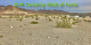
FREE BLM Camping near Yuma, AZ – Ogilby Rd, American Girl Mine Rd, Sidewinder Rd, and Pilot Knob LTVA
