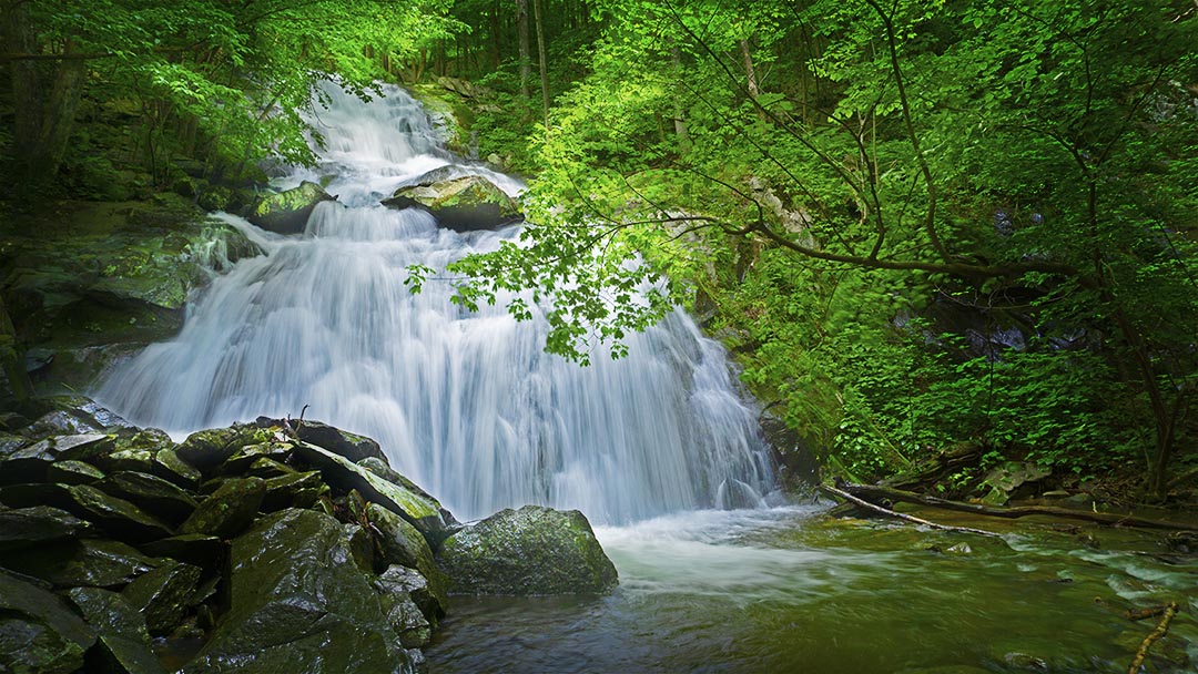
Folly Mills Falls is one of Staunton’s best-kept secrets!
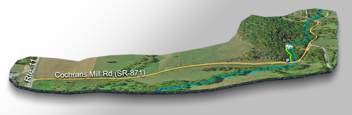
The pretty Folly Mills Falls is just 0.1 miles from the parking area along a very scenic short trail near Staunton in Augusta County, Virginia yet few people know it’s there!
It is especially beautiful after heavy rains but the trail can get muddy and slippery.
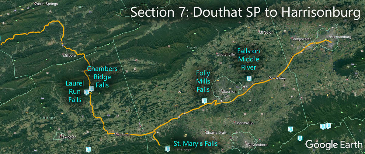
The Great Virginia Waterfall Trail
Folly Mills Falls is in Section 7 of the Great Virginia Waterfall Trail which travels 106 miles from Douthat State Park to Harrisonburg.
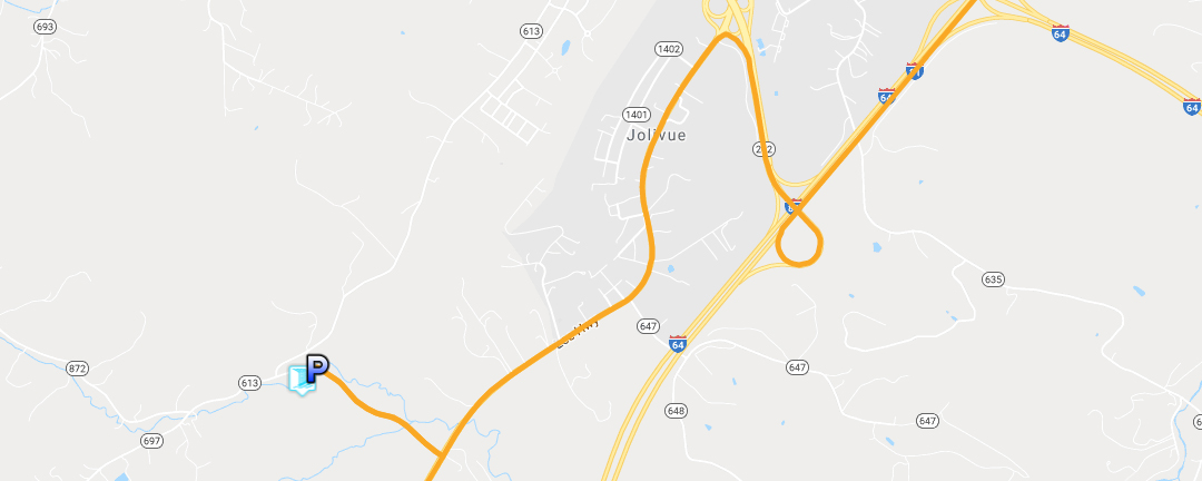
Directions
From Route 11 just south of Staunton, turn west onto Cochran’s Mill Road. The parking area is on the left just before crossing Folly Mills Creek.
Cochran’s Mill Road is paved and the parking area is large enough for 3 or 4 vehicles.
When the trail is wet, it is best to wear non-slip shoes (not flip-flops) because it can be muddy and the rocks near the falls are very slippery.
Trail Map
Google Map of Virginia Waterfalls
Folly Mills Falls is southwest of Staunton on this Virginia Waterfalls map by Eben Schoeman.