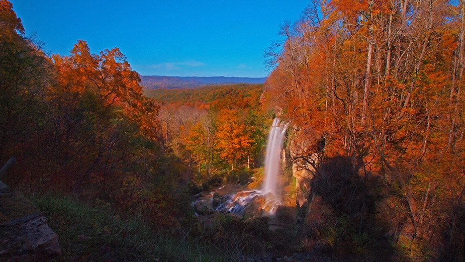
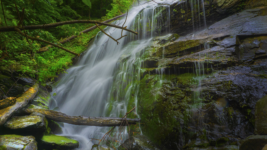
The Falls on Cabin Creek is a scenic roadside waterfall (actually a pretty cascade) located on private property but visible from the road.
Unfortunately, you may find some trash at the foot of the falls. Some are just the result of flooding but folks also use ravines to dump their old tires, appliances, and furniture.
The Great Virginia Waterfall Trail
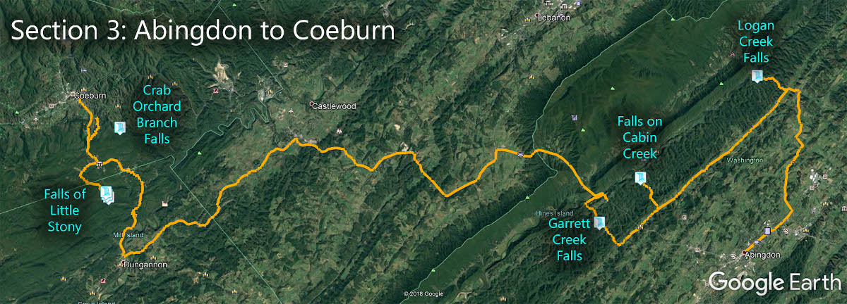
The Falls on Cabin Creek is in Section 3 of the Great Virginia Waterfall Trail which travels 83 miles from Abingdon and Coeburn.
Directions
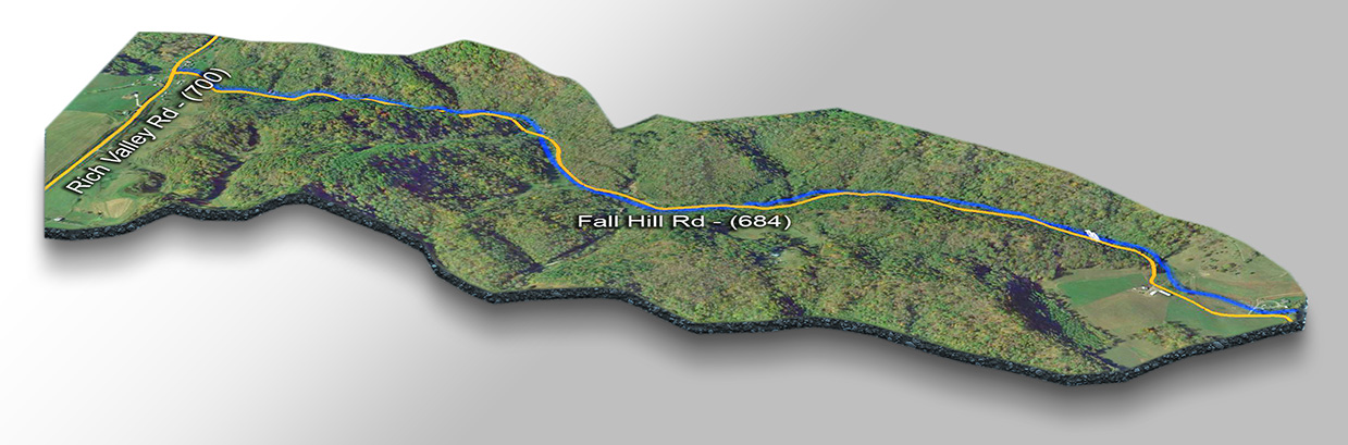
From Rich Valley Rd north-west of Abingdon, turn north on Fall Hill Road (CR 684) and the waterfall will be on your left after 1.8 miles. You can pull over on the narrow road and take a quick picture but do not linger long and please do not trespass! It is tempting to scramble down the bank to take a closer look but don’t!
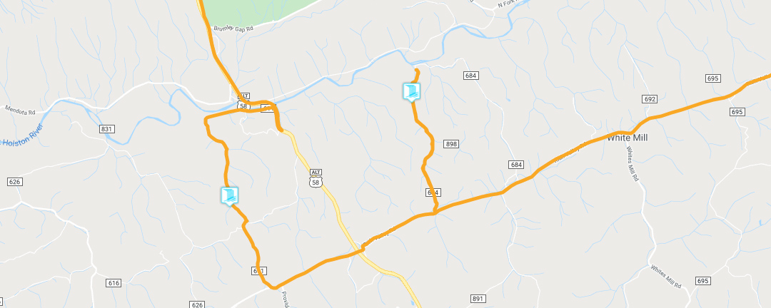
Trail Map
Google Map of Virginia Waterfalls
The Falls on Cabin Creek is near White Mill on this Virginia Waterfalls map by Eben Schoeman.