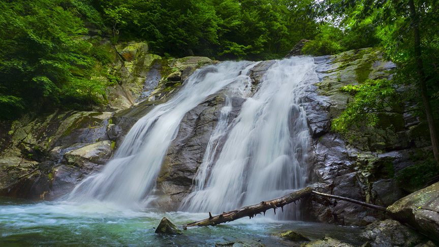
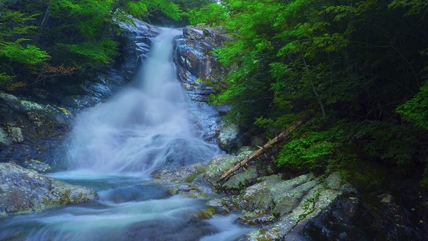
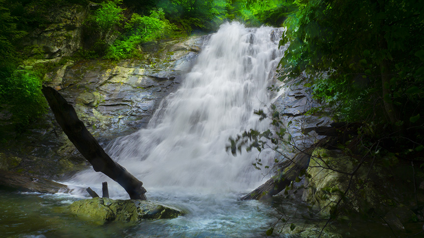
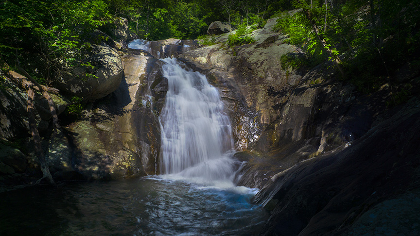
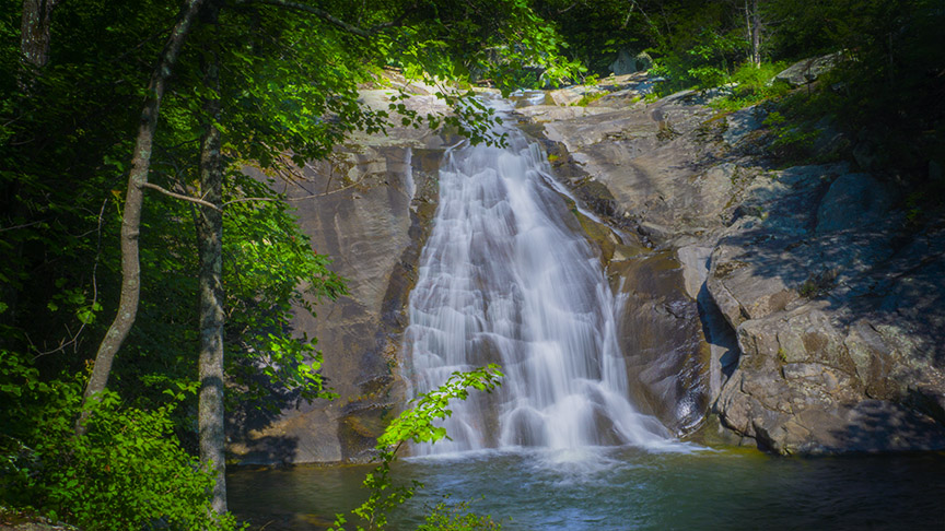
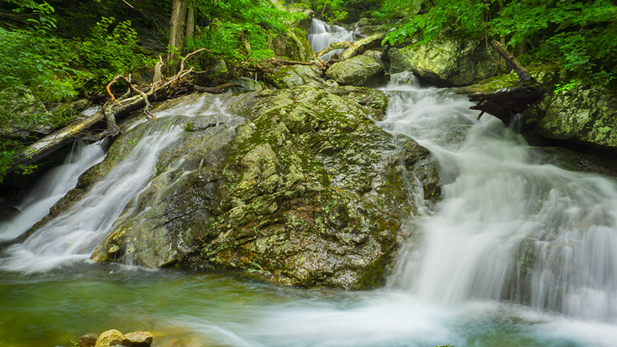
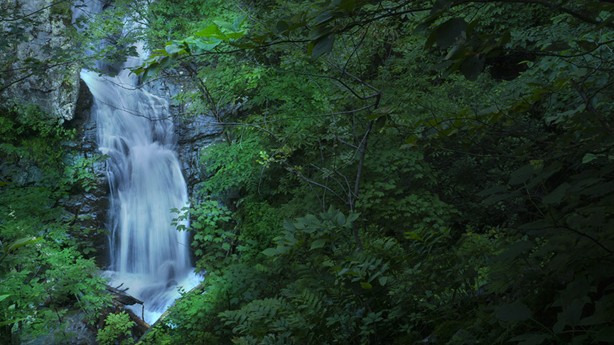
The Falls of Whiteoak Canyon is Virginia’s TOP WATERFALL TRAIL. If you have only one day to see as many waterfalls as you can then this is the place to go!
There are 7 waterfalls to enjoy on this trail but some bushwacking is required as well as scrambling over slippery rocks. Wear proper shoes and be careful!
After heavy rains, the whole canyon becomes a waterfall spectacle with water tumbling over the canyon walls everywhere you look – a sight not to be missed!
And when you combine WHITEOAK CANYON TRAIL and CEDAR RUN TRAIL you see at least 10 large waterfalls and several smaller ones and cascades!
For your safety, please read Eben Schoeman’s post about Bushwacking in Shenandoah!
The Great Virginia Waterfall Trail
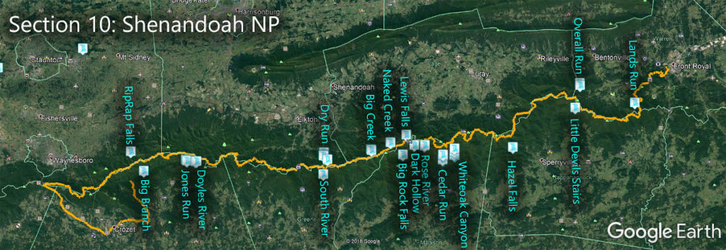
The Falls of Whiteoak Canyon is in Section 10 of the Great Virginia Waterfall Trail which travels the 127 miles of Shenandoah National Park.
Directions
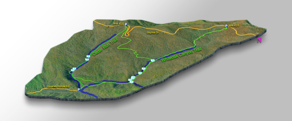
If you just want to hike Whiteoak Canyon and your main goal is to photograph waterfalls, then I suggest you park in the lower parking area shown on the trail map.
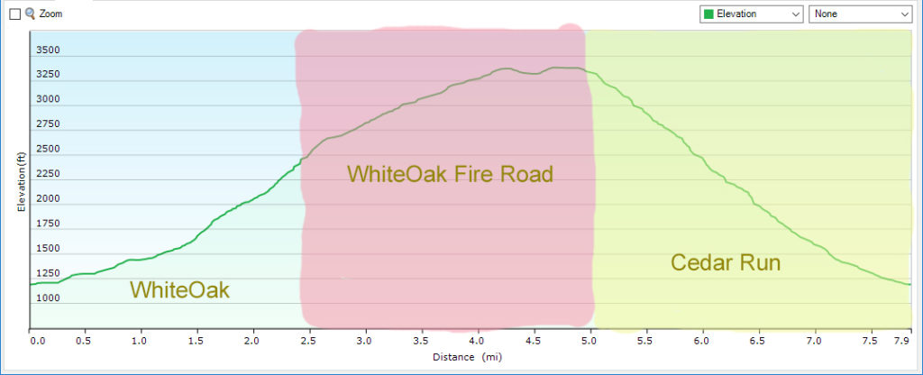
To hike the complete 7.9-mile loop, I suggest to park in the lower lot then hike anti-clockwise – start uphill in Whiteoak Canyon, cut across using the fire road, and descend on the Cedar Run Trail. This is a VERY CHALLENGING hike.
Most Park visitors just park at mile 42.6 and hike down Whiteoak Canyon and back up! It is 2.3 miles from the first waterfall – Whiteoak Canyon Waterfall #! It is 4.4 miles down to waterfall #7 (including all the bushwhacking). This means you have a very steep – making this an 8.8-mile return hike!
Trail Map
The Trail
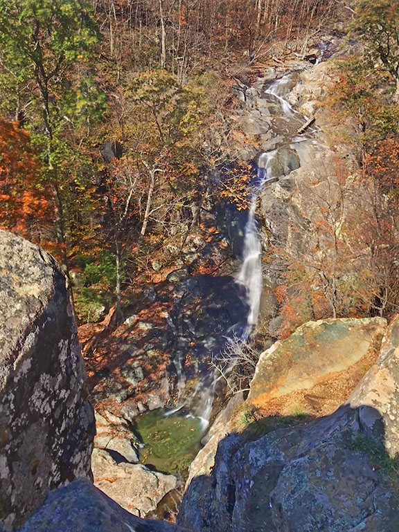
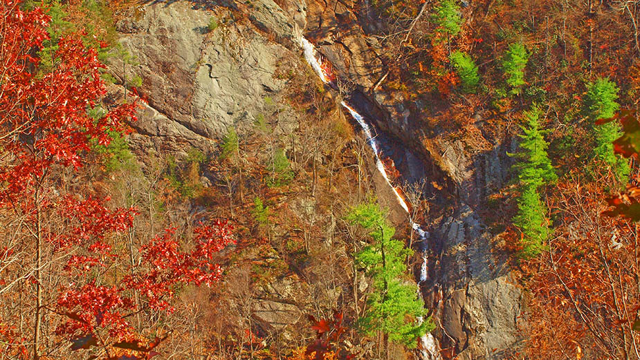
Whiteoak Canyon Falls #1 (the topmost waterfall) is 2.3 miles from the top parking area. There is an overlook where you get a limited view of the Falls from a distance. Most folks turn around there. DO NOT!
Continue down the trail for a short distance until you reach the creek. Then bushwhack upstream until you reach the base of Whiteoak Canyon Waterfall #1.
On high water days, you can hear #2 from the trail but it cannot be seen.
From the base of #1, return to the trail and hike about 0.5 miles until the trail returns to the Creek. At that point, turn right and bushwack upstream to the base of waterfall #2.
Return to the trail then hike 0.2 miles where you will hear and see Waterfall #3 from the trail at a small clearing high above it. Honestly, this may be the best view of #3 if the creek runs high and fast because it will be nearly impossible to make it to the base!
Nevertheless, to get to the base hike down the trail a short distance until you reach the creek then bushwhack upstream. Please know the creek is narrow near the base with high rocks and the shear force of the water and spray over the Falls will soak your camera! This will work much better when the flow is low.
Let’s continue down to Waterfall #6 which is right next to the trail and a very popular swimming hole for locals hiking up from the lower parking area.
#6 is a beautiful split waterfall – the prettiest in Whiteoak Canyon.
Then look for a small trail to the right leading to the top of the falls. Scramble up there then continue to bushwhack until you reach Waterfall #5!
But you are not done yet! Cross the creek and scramble up the steep bank to the top of #5 and you will see Waterfall #4 reveal itself just a short scramble away!
Back on the trail walk down just a few steps and you will see Tim’s Creek coming in from the left. Cross the creek and turn left. Scramble up the bank and bushwack upstream until you reach Tim’s Creek Falls (Waterfall #7)
Trail Profile
Google Map of Virginia Waterfalls
The Falls of Whiteoak Canyon is in Shenandoah National Park on this Virginia Waterfalls map by Eben Schoeman.

