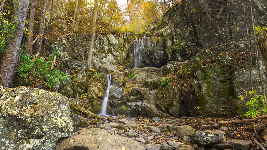
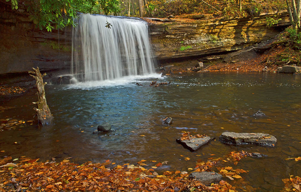
Doyles River Falls (there are two waterfalls to be exact), is a must-see in Shenandoah National Park. At 28 feet and 63 feet respectively, these Falls are very popular with visitors so plan to arrive early and be prepared for a steep return hike!
If you can, visit after a period of heavy or consistent rain when these waterfalls truly come to life. In early Fall they are mere trickles of water!

The Great Virginia Waterfall Trail
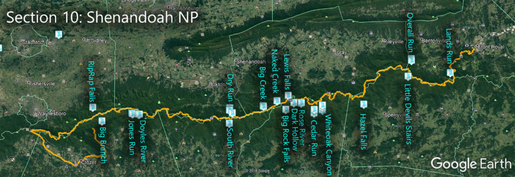
The Falls of Doyles River are in Section 10 of the Great Virginia Waterfall Trail which travels the 127 miles of Shenandoah National Park.
Directions
You have two options:
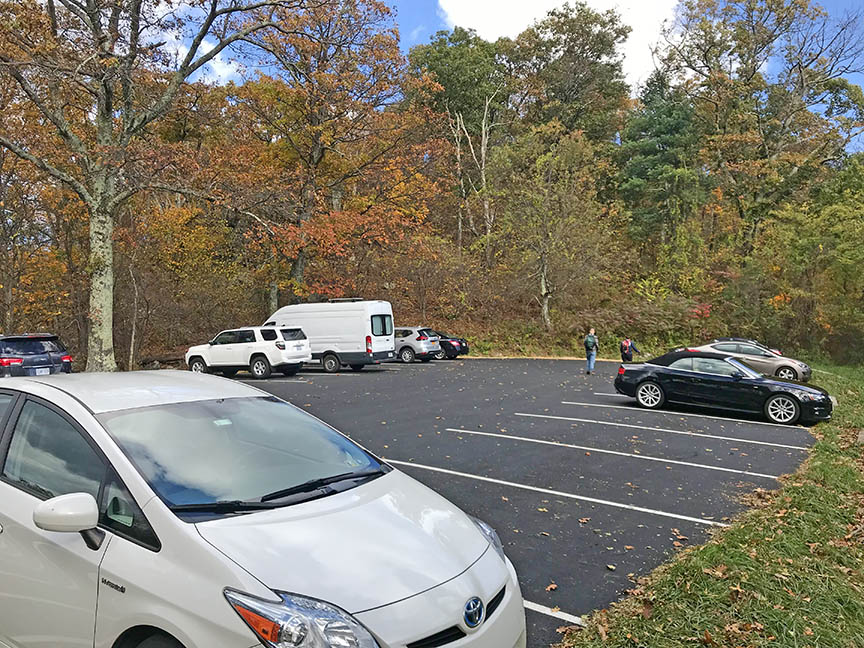
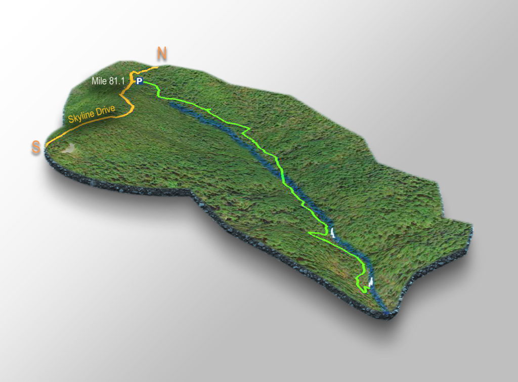
- The most direct hike starts from the Doyles River Parking area at Mile 81.1. This is the route I use for the fastest up-and-down when trying to avoid the crowds.
- You can also park at the Browns Gap Fire Road (Mile 83) and complete a 5.8-mile loop hike that includes the Falls of Jones Run.
Trail Map
The Trail
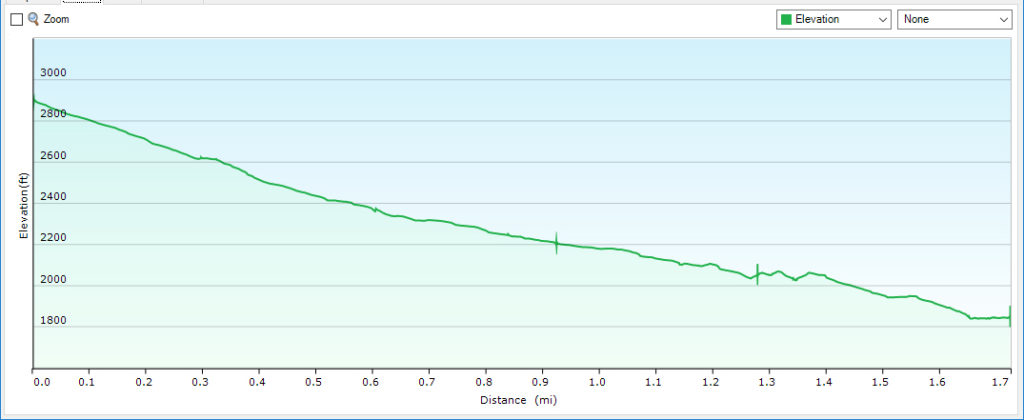
NOTE – This is a steep 3.2-mile return hike so pack water and wear proper hiking shoes!
From the Doyles River parking area, follow the blue blazes down to the Falls. There are some side trails (AT, Doyles River Cabin, and Browns Gap Rd) but look for a blue blaze when in doubt!
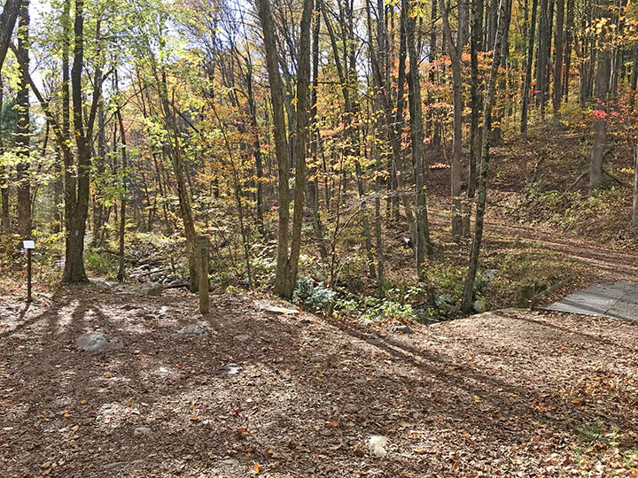
At 0.85 miles you will cross the Doyles River on a bridge meaning the Falls will be on your left further down.
You will reach Doyles River Falls #1 at 1.28 miles. It is a short scramble down to its base.
Return to the trail and continue down until mile 1.6 to see Doyles River Falls #2.
If you feel energetic you can continue along the trail but you won’t find better waterfalls!
Trail Profile
Google Map of Virginia Waterfalls
The Falls of Doyles River is in Shenandoah National Park on this Virginia Waterfalls map by Eben Schoeman.

