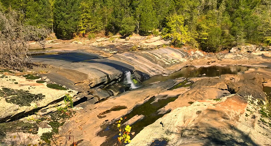
It appears everyone knows about the Falls of Dismal Creek! With an Appalachian Trail camping area on its eastern bank and its proximity to Blacksburg, you will always have company when visiting.
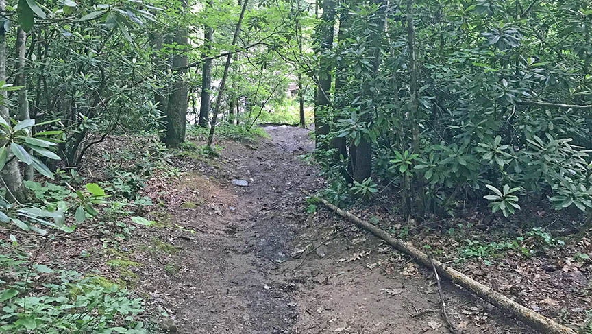
It’s pretty and just a very short downhill walk from the parking area.
The Great Virginia Waterfall Trail
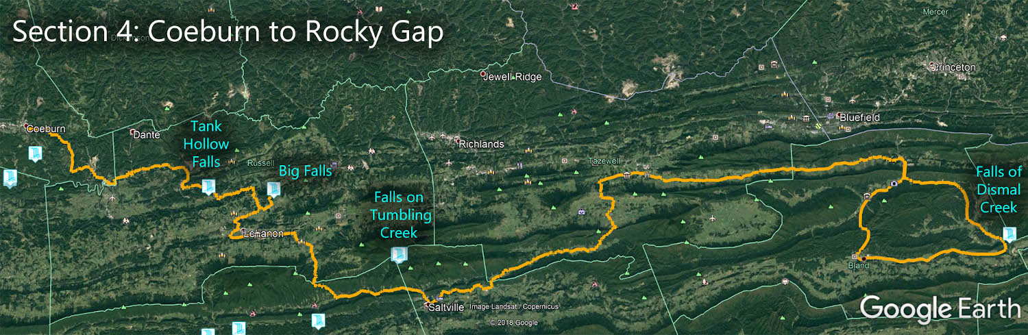
The Falls of Dismal Creek is in Section 4 of the Great Virginia Waterfall Trail which travels 165 miles from Coeburn to Rocky Gap.
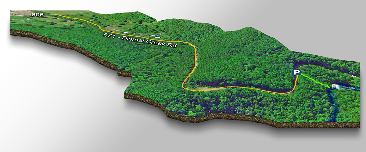
Directions
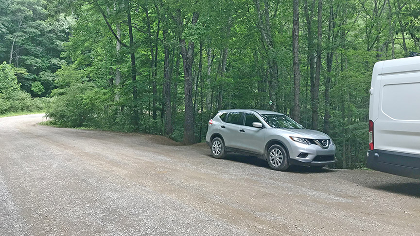
While traveling north on VA-42 from the town of Bland, turn left on CR-606 and then right on CR-671 (just past the convenience store). The road will soon turn into a bumpy unpaved road.
Look for a pullout on the right after exactly a mile. Walk down the sometimes slippery embankment and enjoy the Falls of Dismal!
Trail Map
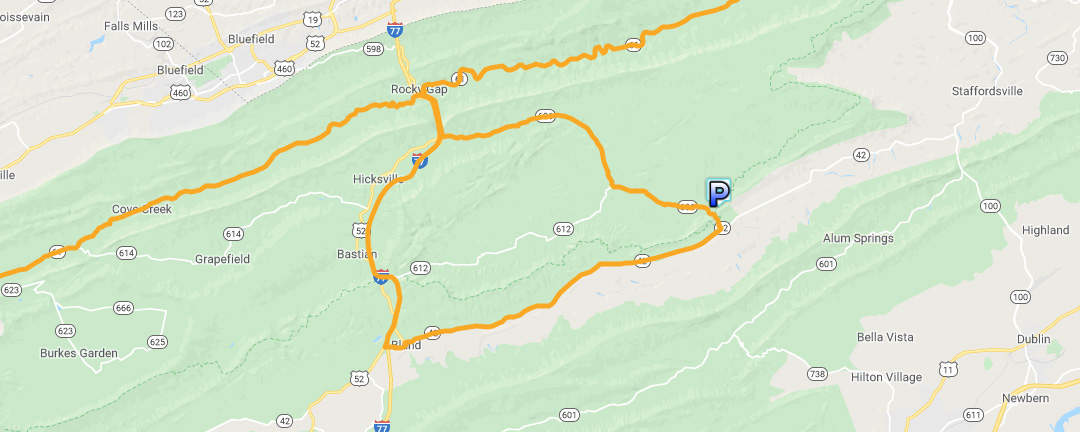
Google Map of Virginia Waterfalls
The Falls of Dismal Creek is near Bland on this Virginia Waterfalls map by Eben Schoeman.