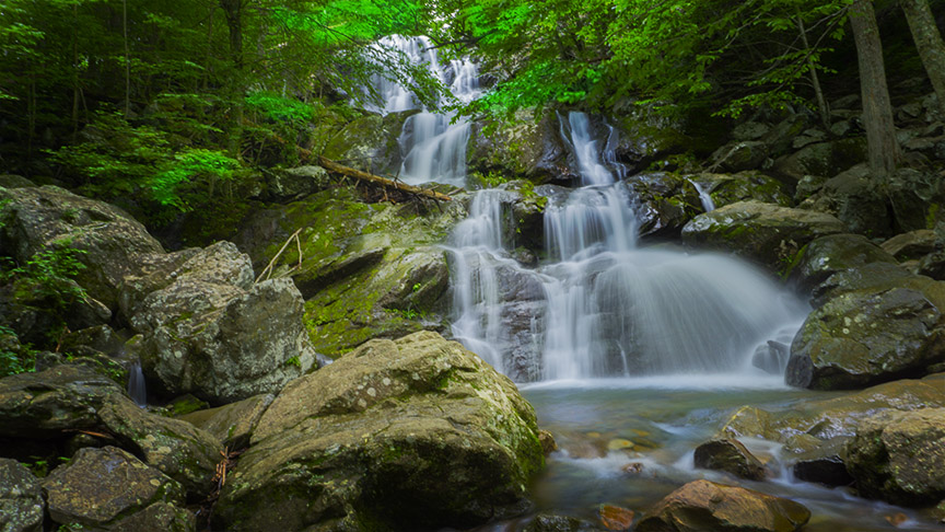
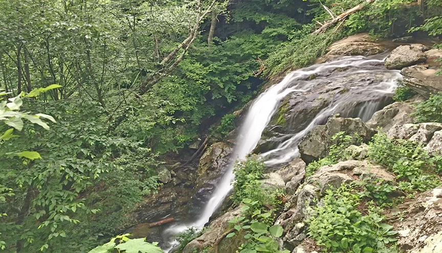
Dark Hollow Falls is one of the shortest waterfall trails in Shenandoah but be prepared for a steep return hike!
At 70 ft it is one of the higher waterfalls in Shenandoah and very visible from two viewing areas.
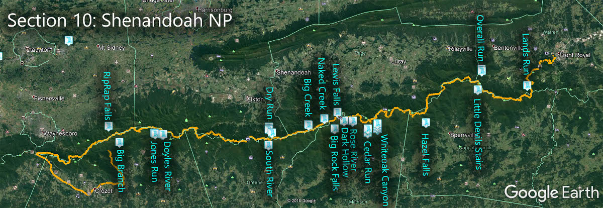
The Great Virginia Waterfall Trail
Dark Hollow Falls is in Section 10 of the Great Virginia Waterfall Trail which travels the 127 miles of Shenandoah National Park.
Directions
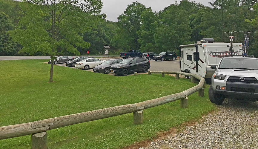
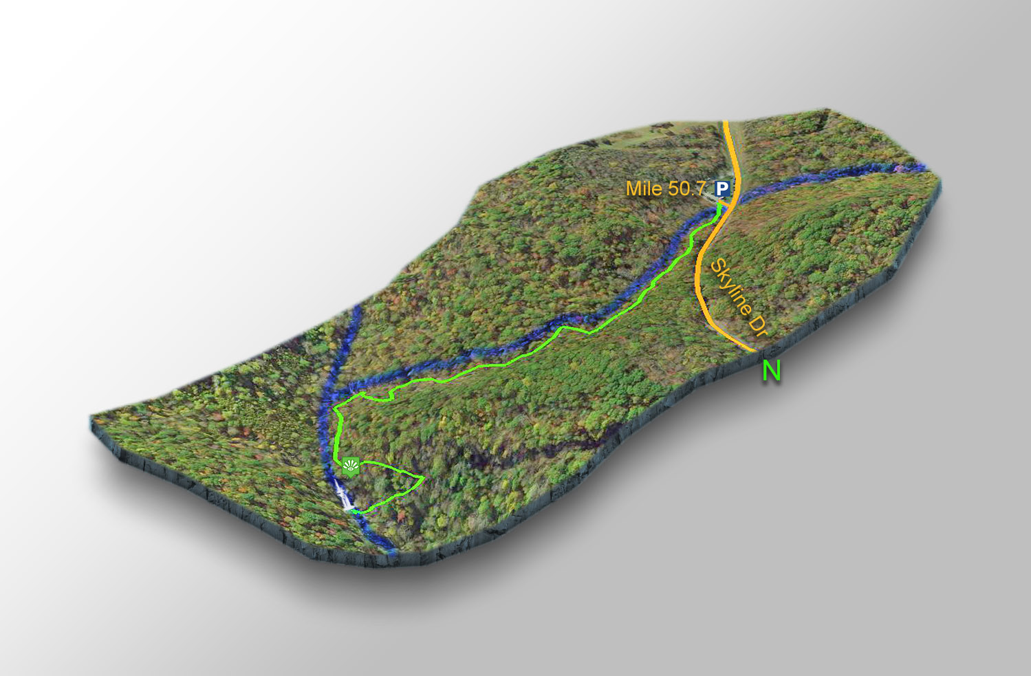
Park at the Dark Hollow Falls parking area at mile 50.7.
Dark Hollow Falls is practically across the road from the Big Meadows tourist area and the parking lot fills early on busy days.

Trail Map
The Trail
You will immediately cross Hogcamp Branch Creek and stay on the left bank until it drains into the Rose River.
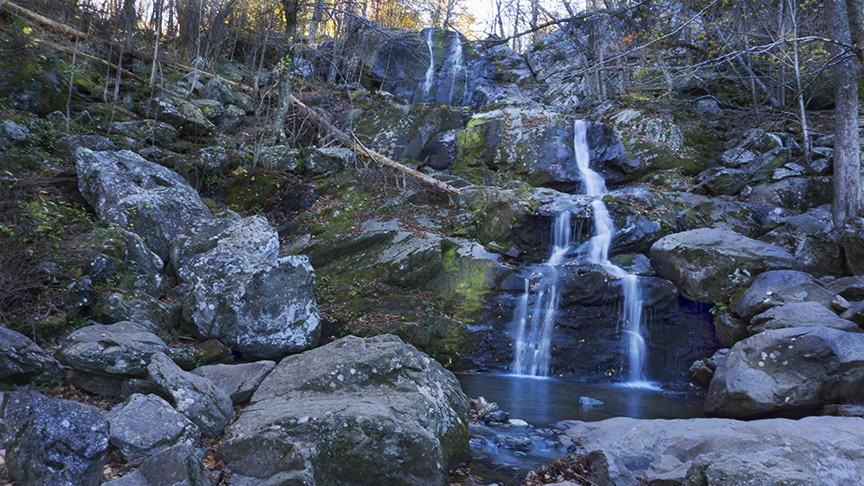
At 0.55 miles you can view the falls from an observation point but it is most rewarding to continue down the steep and sometimes slippery trail to the base of the falls at 0.72 miles.
It is a 1.44-mile return hike.
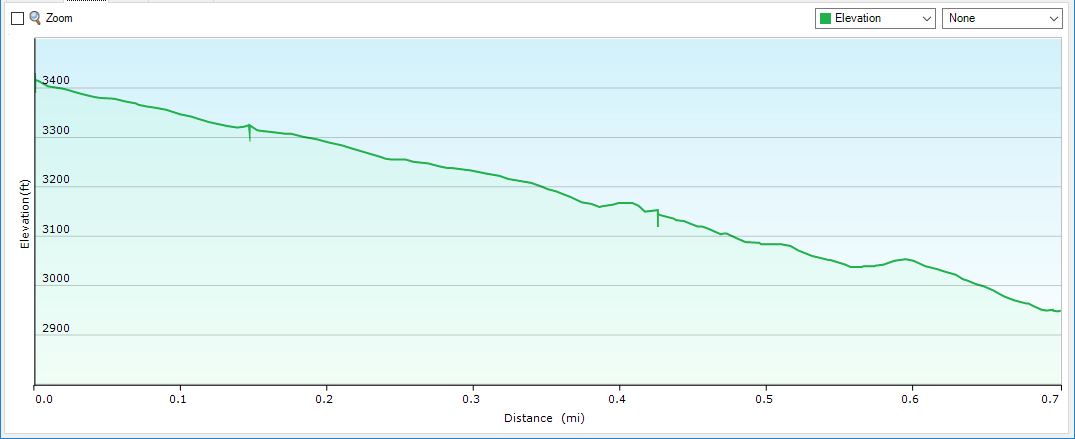
Trail Profile
Google Map of Virginia Waterfalls
Dark Hollow Falls is in Shenandoah National Park on this Virginia Waterfalls map by Eben Schoeman.