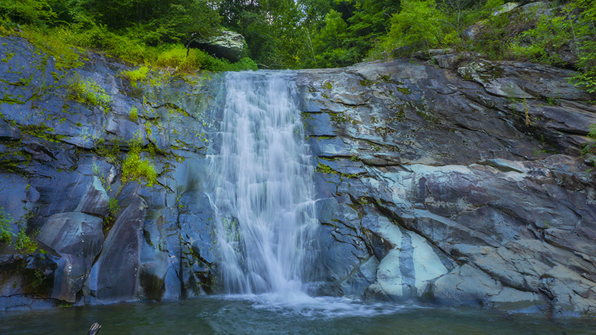
Not much of a waterfall in terms of height, but the location of Chestnut Creek Falls makes it a very worthwhile destination!
Chestnut Creek Falls is part of the New River Trail – a 57-mile linear State Park that follows an abandoned railroad. It parallels the scenic and historic New River for 39 miles and passes through four counties and the city of Galax. The trail’s flat profile makes it great for hiking, biking, and horseback riding.
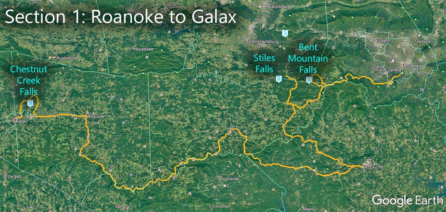
The Great Virginia Waterfall Trail
Chestnut Creek Falls is in Section 1 of the Great Virginia Waterfall Trail which travels 182 miles from Roanoke to Galax.
Directions
The nearest parking is where Iron Ridge Road (607) crosses Chestnut Creek next to the Trail. The town of Fries is nearby. Being a State Park, there is a pay kiosk for parking ($7 but subject to change).
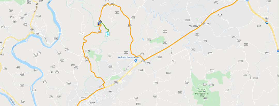
Trail Map
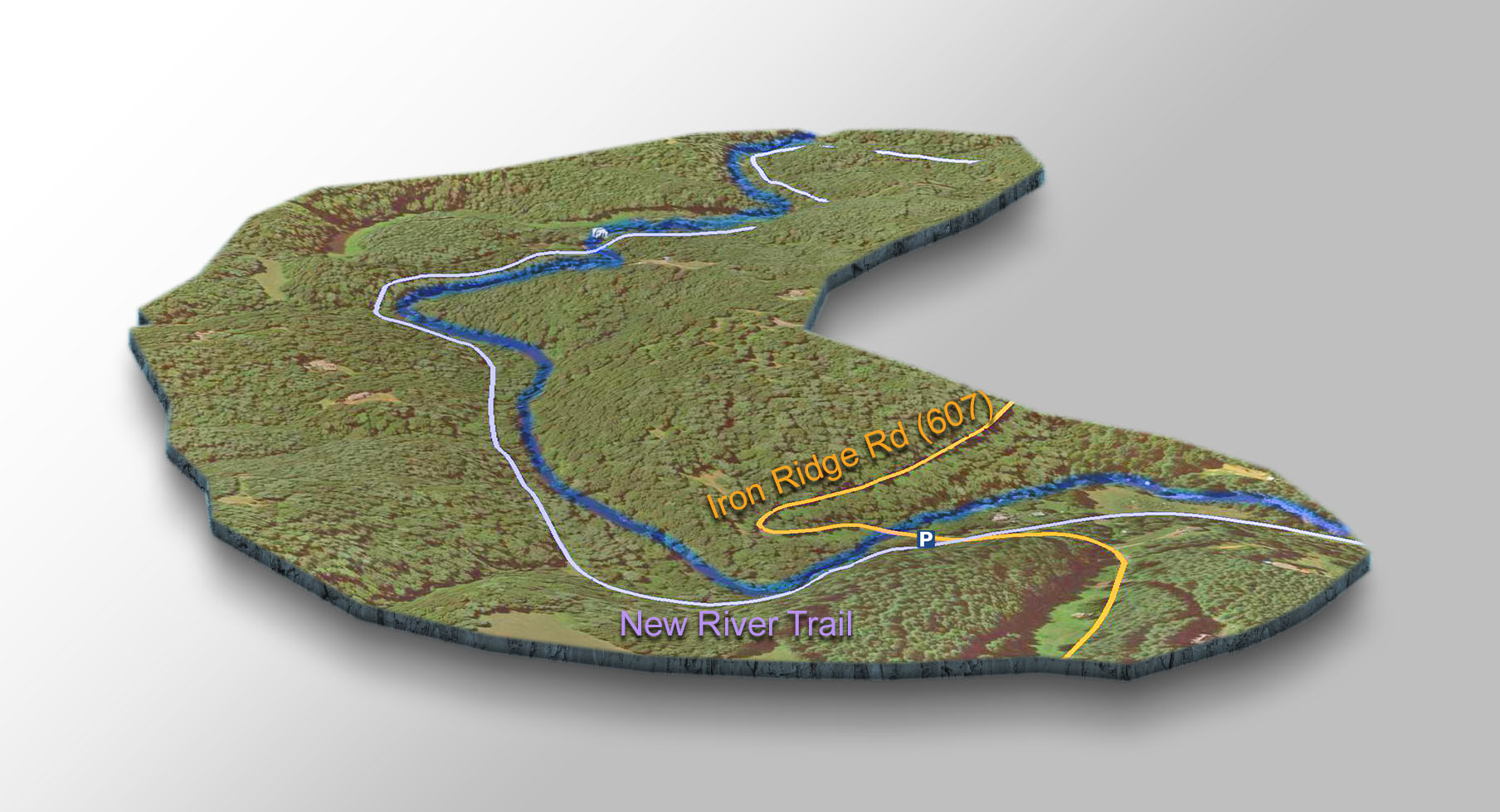
The Trail
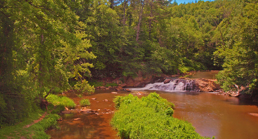
Then follow the very flat bike trail and creek upstream for 1 mile until you reach a bridge. You will see the Falls to the left.
Google Map of Virginia Waterfalls
Chestnut Creek Falls is near Galax on this Virginia Waterfalls map by Eben Schoeman.