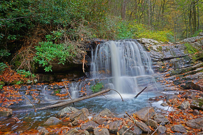
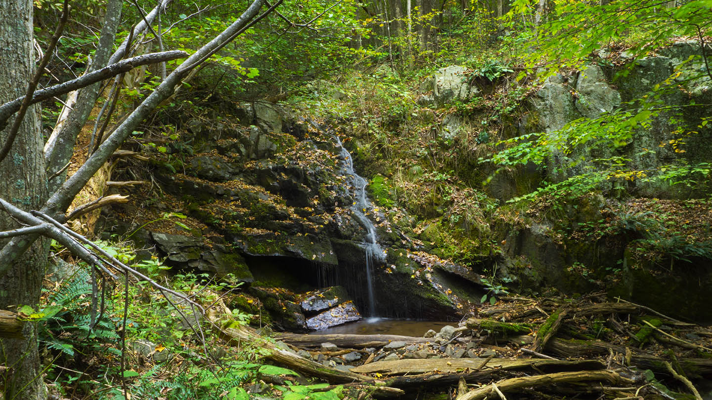
Hiking to Blue Suck Falls can be a frustrating experience if you hoped to film a bone-crushing waterfall! Rather, focus on the journey and you will thoroughly enjoy the hiking and scenery in a wonderful State Park.
I’ve not seen much water at Blue Suck Falls but some online photos do show a very beautiful waterfall (cascade really) in flood.
The Great Virginia Waterfall Trail
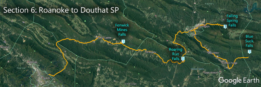
Blue Suck Falls is in Section 6 of the Great Virginia Waterfall Trail which travels 115 miles from Roanoke to Douthat State Park Gap.
Directions
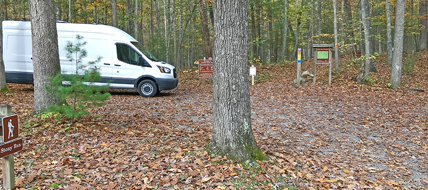
In Douthat State Park we will combine the Stony Run, Tuscarora Overlook, and Blue Suck Falls Trails. Park at the Stony Run Trailhead.
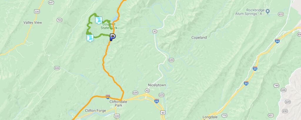
Trail Map
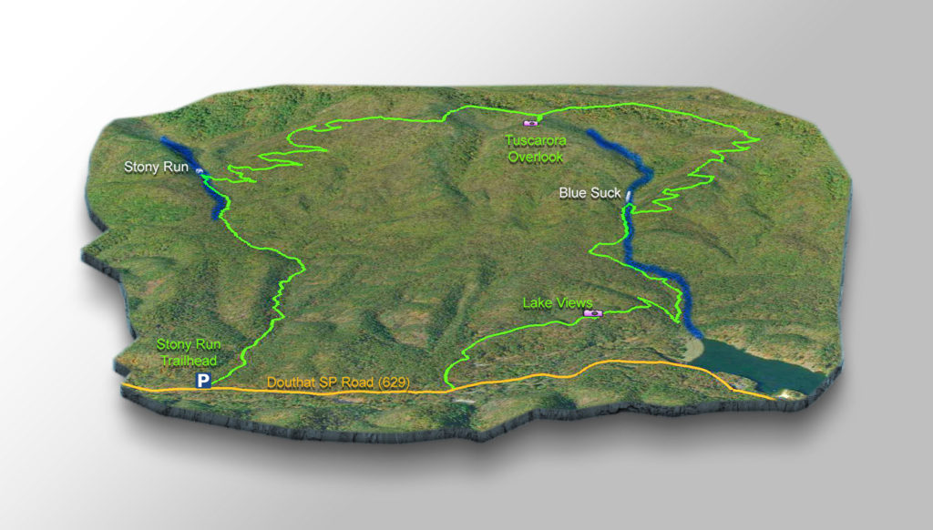
The Trail
There are several ways to reach the Falls from down at Douthat Road. I will describe a combination of trails that makes for a full day of hiking but with splendid views and two waterfalls!
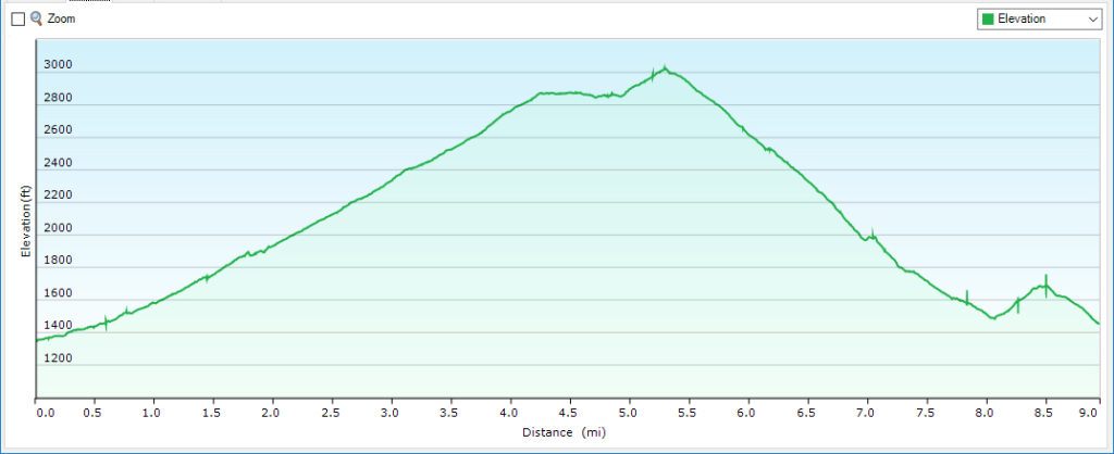
This loop trail is just over 9 miles long and steep in places.
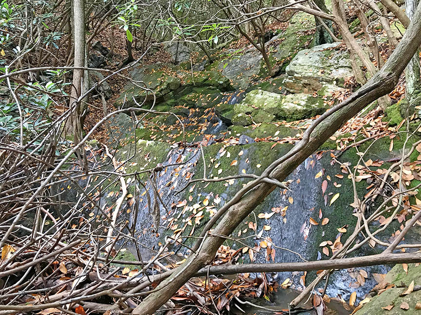
The first waterfall appears after an uphill of 1.75 miles. It is not big and mostly covered with debris but worth a look.
At 4.8 miles you reach Tuscarora Overlook where you will find a small cabin and wonderful panoramic views!

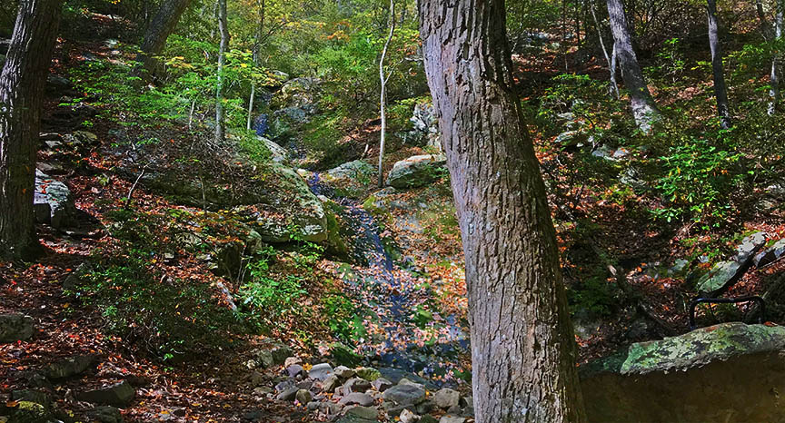
Blue Suck Falls appear halfway down the mountain at 6.95 miles. It is on your left as you cross the creek.
Near the bottom, you can choose one of several trails but we like to hike to the Tobacco House Overlook for a final look at Douthat Lake before returning to Douthat Rd via the campground.
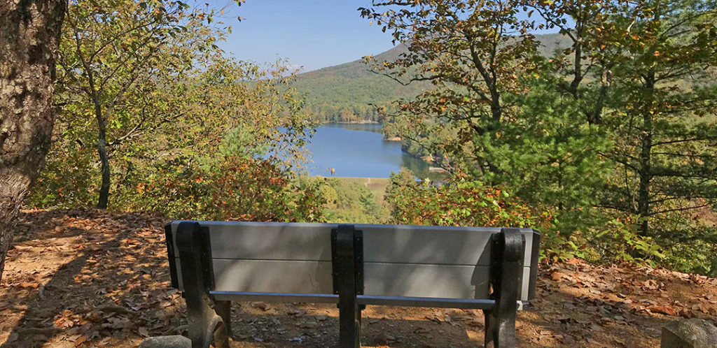
Then we walk along the road back to our vehicle.
Trail Profile
Google Map of Virginia Waterfalls
Blue Suck Falls is in Douthat State Park on this Virginia Waterfalls map by Eben Schoeman.


