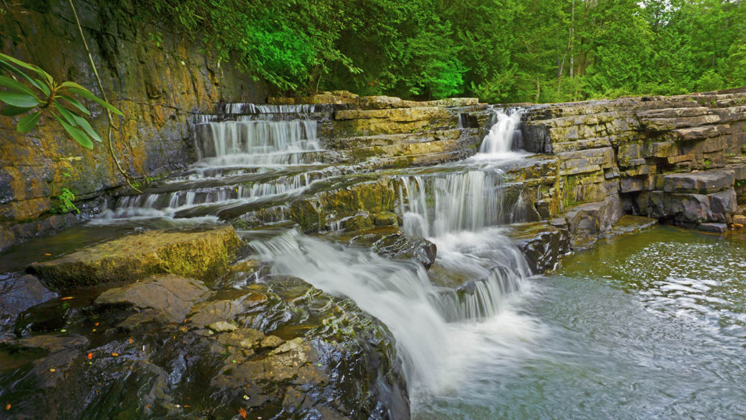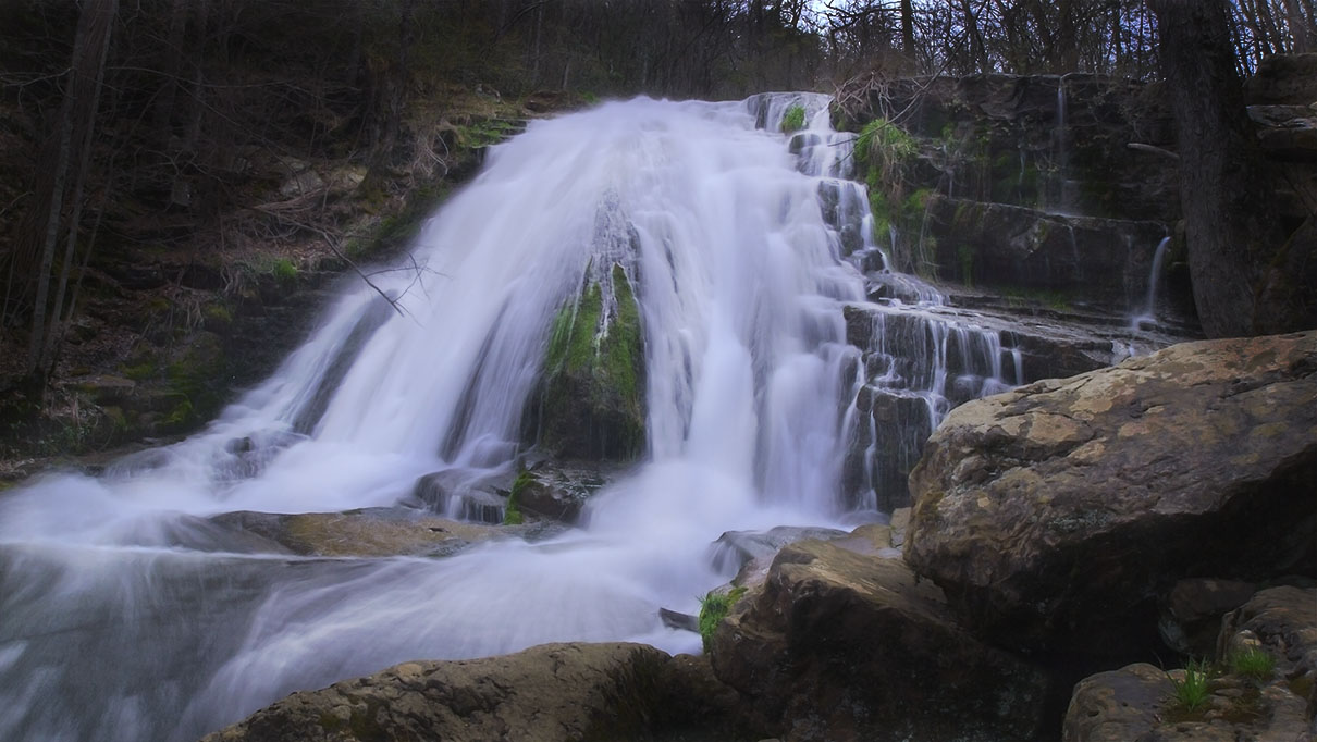
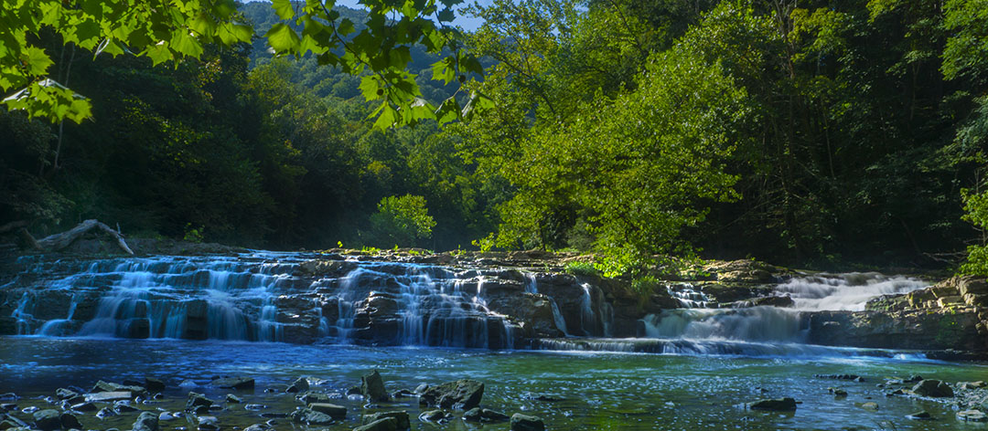
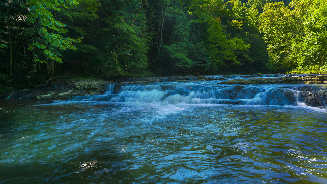
Known by most as Big Falls, Big Cedar Creek Falls is not a typical high waterfall. Instead, it covers the width of Big Cedar Creek creating a beautiful backdrop for wide-angle landscape photos!
The Great Virginia Waterfall Trail
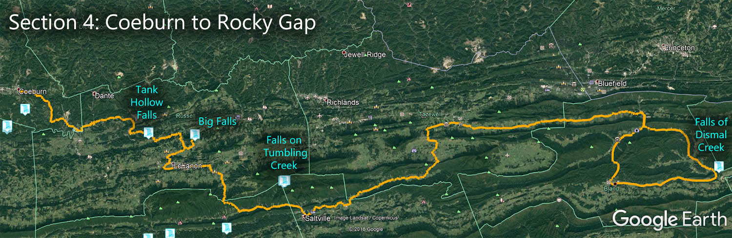
Big Cedar Creek Falls is in Section 4 of the Great Virginia Waterfall Trail which travels 165 miles from Coeburn to Rocky Gap.
Directions
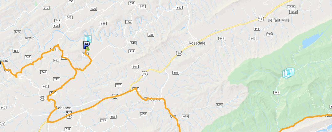
From Lebanon, turn onto VA 82 towards Cleveland. Turn right onto VA 640 then after 4.3 miles turn left onto VA 721. Follow the unpaved road 0.9 miles down to the parking lot on the left.
The Trail
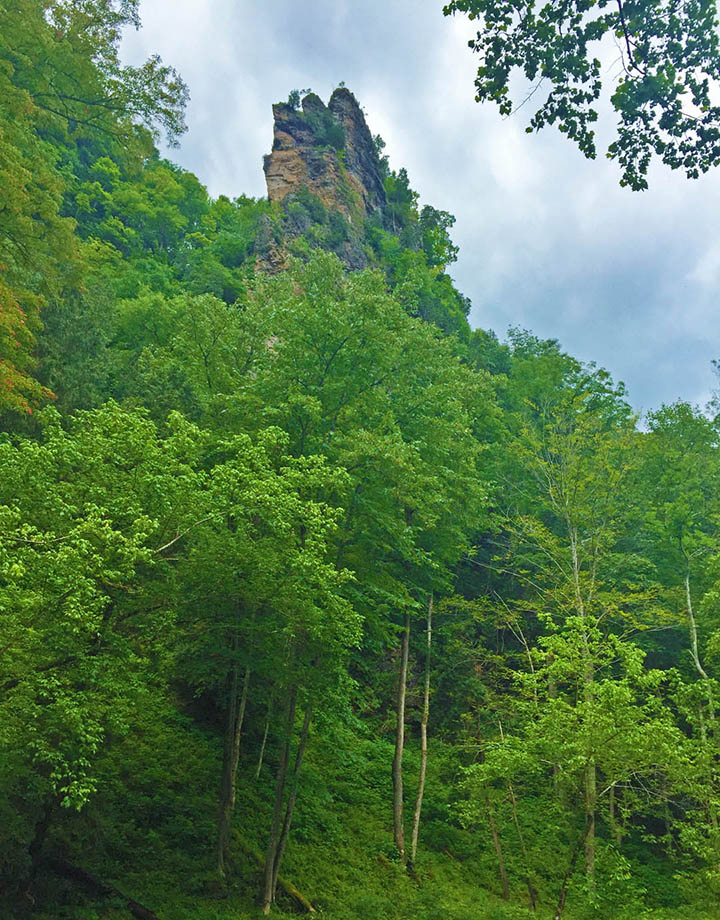
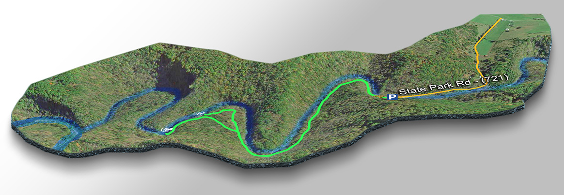
The Pinnacle Area Preserve offers several hiking trails. We enjoy combing the trails to visit Big Falls, Spring Falls (a secondary cascade), and a viewpoint to see the Pinnacle – a 400-foot-tall dolomite spire!
Cross the Creek using the swing bridge and continue for 1.2 miles to the Falls and beyond!
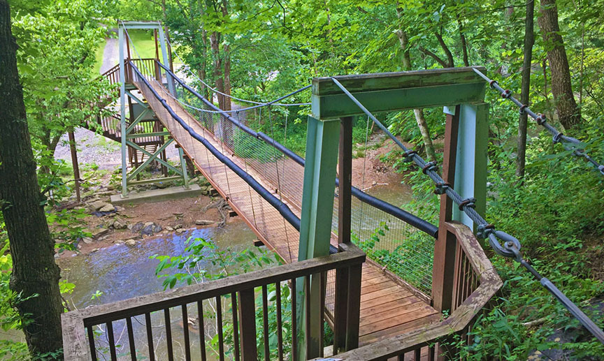
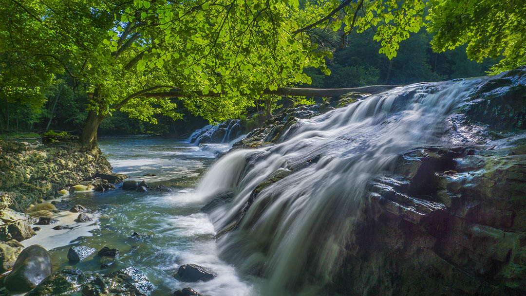
The trail is rather flat and easy with a slight elevation change at the bridge and just before Big Falls. At 0.9 miles you turn left uphill towards Big Falls. If you continue straight you can stop at Spring Falls just beyond the picnic shelter. It is a small cascade but pretty nonetheless.
Trail Map
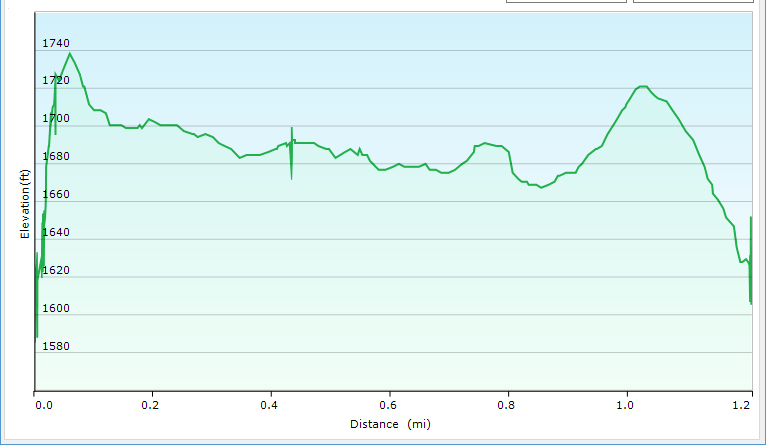
Trail Profile
Google Map of Virginia Waterfalls
Big Cedar Creek Falls is near Lebanon on this Virginia Waterfalls map by Eben Schoeman.