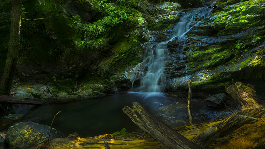
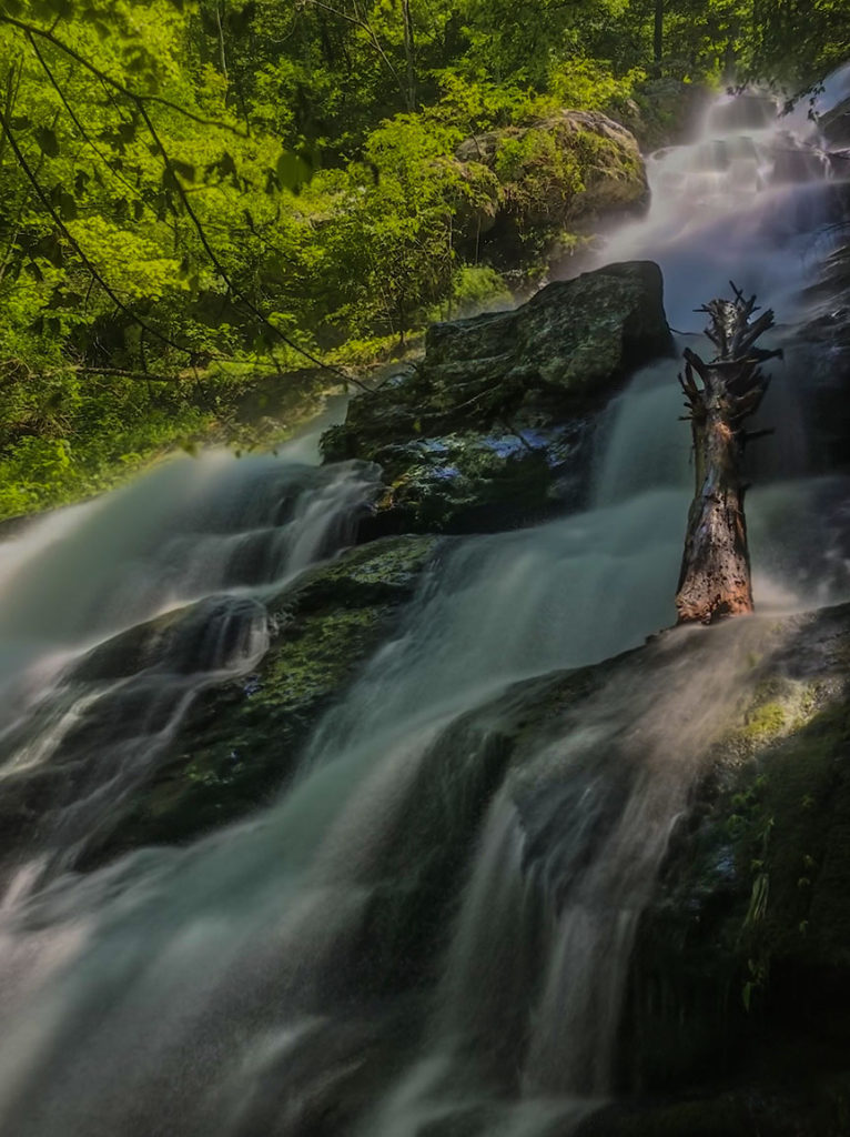
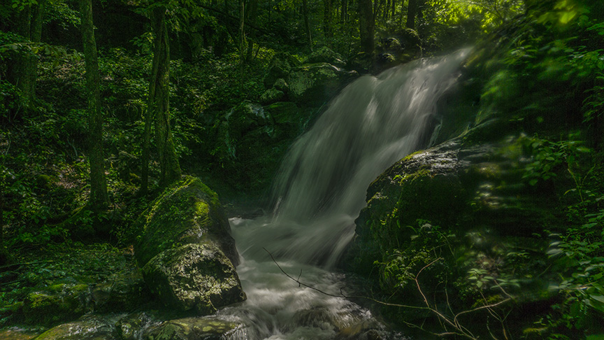
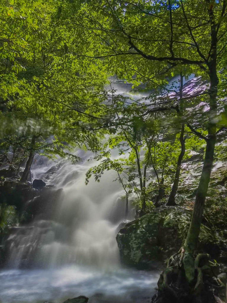
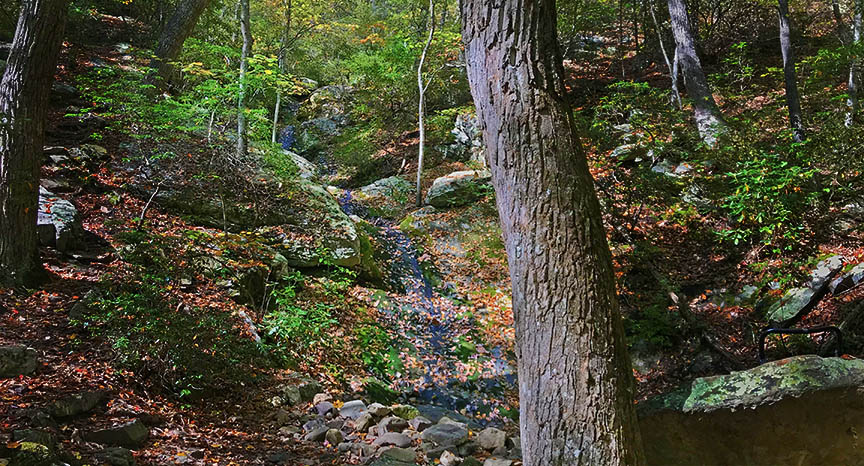
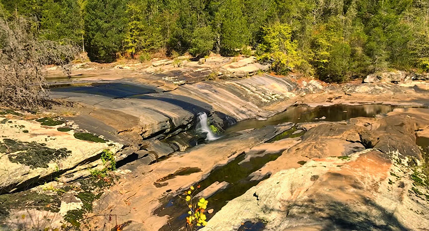
I challenge all hardcore hikers to go and see the Falls of Dry Run Creek in Shenandoah NP!
So far I documented seven waterfalls – during my research I saw photos of only 3, meaning I hiked in an area that’s rather unknown even to experienced waterfall enthusiasts.
I must start with a warning – do not hike down Dry Run Creek unless you are VERY comfortable with insane terrain. It is wet, slippery, steep, and plain dangerous. It is much easier in summer but you need to go when the Creek is flowing hard; early Spring. Or after several days of heavy rain in the area.
AGAIN – When the Dry Run area is in flow, you will face danger down near the waterfalls.
I urge you to read Eben Schoeman’s post about Bushwacking in Shenandoah!
Now for some good news!
Dry Run Creek is flanked by a Fire Road that runs from Skyline Drive to roads down in the valley. This means you have a relatively easy trail to navigate to get down – BUT you have to leave this road and bushwack to see any of the seven waterfalls listed here.
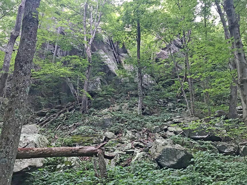
It is not all about waterfalls! About 0.7 miles down this Fire Road is a small trail on your right that leads to the top of a scenic rocky outcrop called the Lost Cliffs! So check that out for a nice landscape photo opportunity.
The Great Virginia Waterfall Trail
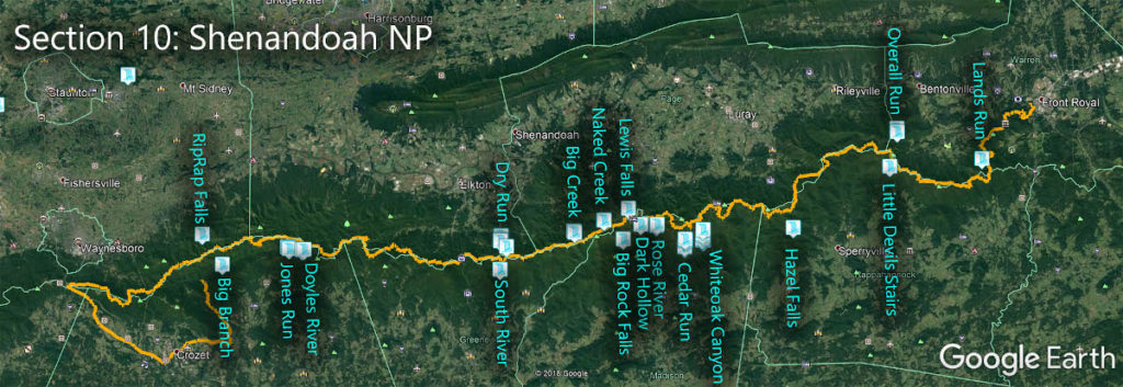
The Falls of Dry Run Creek are in Section 10 of the Great Virginia Waterfall Trail which travels the 127 miles of Shenandoah National Park.
Directions
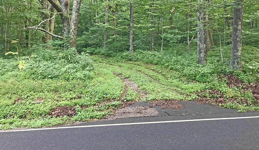
On Skyline Drive, park at the South River Overlook at mile 62.5 then cross the road and look for the gated fire road slightly north of the outlook (on the west side of Skyline Dr).
Trail Map
The Trail
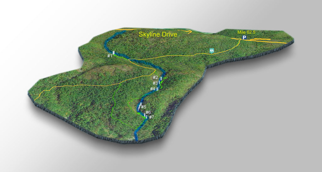
You can see the Fire Road, the parking area, and the location of the Lost Cliffs on the map.
The seven waterfall locations are accurate as per my GPS. You may discover other waterfalls either upstream or downstream so do not hesitate to explore on your own.
You will note a vague green trail on the map. That is my bushwacking route. It does not mean it is the best way to reach the waterfalls, or the safest or the easiest! I was exploring with no markers or waypoints to guide me.
I hiked down the Fire Road to the Park’s western boundary, bushwacked down to Dry Run Creek at the boundary, and then followed the creek upstream.
The fire road is not in good condition so expect tall grasses, mud, etc.
At 0.7 miles you can take the short side trail to the top of Lost Cliffs. Scrambling required.
Continue down the road until it crosses Dry Run Creek at mile 1.3. This is where the fun starts!
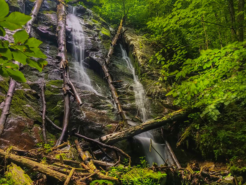
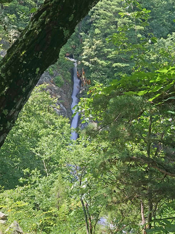
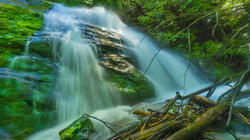
Waterfalls #3 and #5 are both massive cascades. Most folks who hiked in the area made it to #3. But #5 is even more impressive. It is a huge and tall cascade.
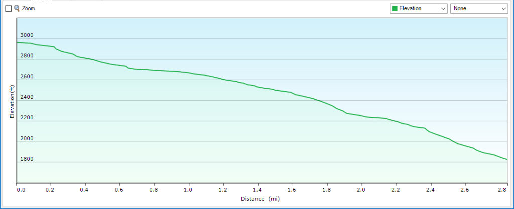
Profile – Fire Road
NOTE – This is a profile of the fire road down to the park boundary and not the bushwhack trails down to the Falls which are much steeper!
Google Map of Virginia Waterfalls
The Falls of Dry Run Creek is in Shenandoah National Park on this Virginia Waterfalls map by Eben Schoeman.

