
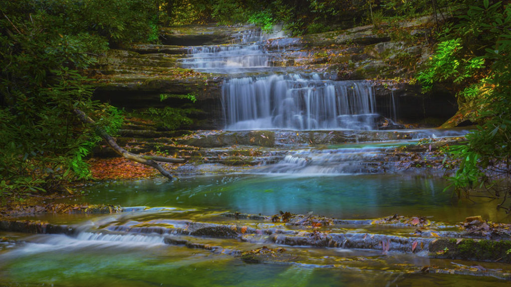
Every so often we find a waterfall that no one talks about, yet we are amazed by its beauty and tranquility. Laurel Run Falls is one of those.
We went looking for waterfalls one Sunday and with the Virginia Atlas and Gazetteer in hand, we studied the creeks in the Goshen area west of Lexington. There appeared to be the potential for at least two waterfalls in the area so we hopped in the Jeep and drove out on SR-39.
What a day we had! We hiked to two waterfalls and spent all day in the woods with not a single other soul in sight, except for a few kayakers in the Maury River!
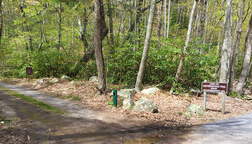
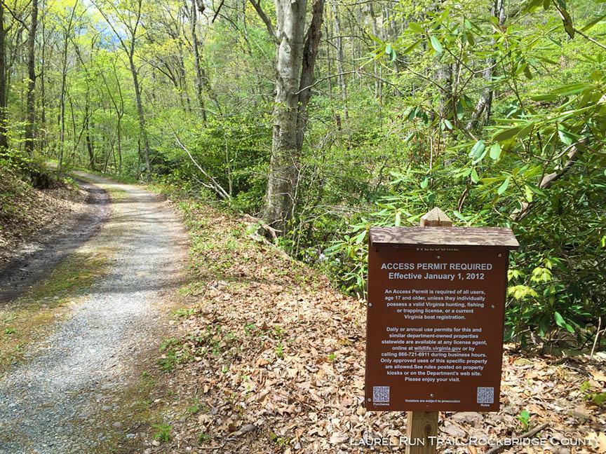
IMPORTANT – We believe this is a WMA (Wildlife Management Area) and you need to buy an access permit. To be safe, we buy annual permits for $23 or so – see this DGIF site.

The Great Virginia Waterfall Trail
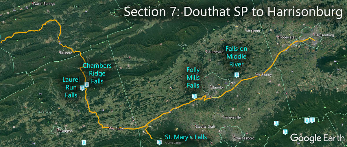
Laurel Run Falls is in Section 7 of the Great Virginia Waterfall Trail which travels 106 miles from Douthat State Park to Harrisonburg.
Directions
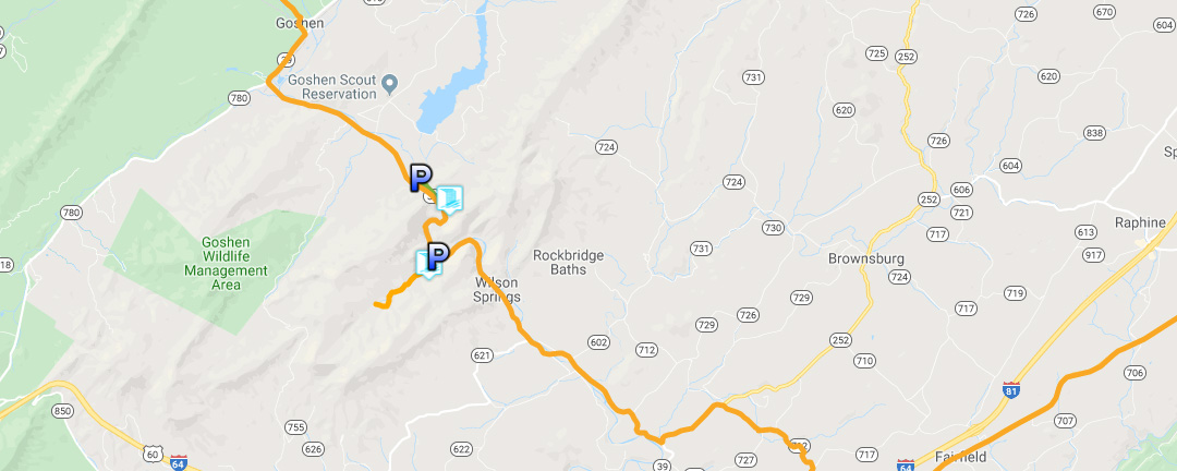
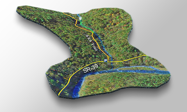
From Lexington, drive west on SR-39 towards Goshen. The parking area (on your left) is exactly 13.5 miles from the Super 8 where you turn from Rte 11 onto SR-39.
There is room for 2 or 3 cars or you can drive into the WMA when the gate is open and park in a pull-out somewhere. But do not block the narrow road and an SUV with high clearance is recommended.
Trail Map
The Trail
There is no trail to Laurel Run Falls! You walk along the slightly uphill road and bushwack down to the creek about 0.15 miles from the parking area.
Once next to the creek, make your way upstream for a short distance (another 0.15 miles) to the bottom of the cascade.
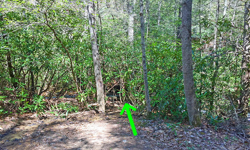
We found the going a bit easier on the opposite side of the creek.
Note – while not overly dangerous, you can get hurt on the rocks or in the creek debris. Stay safe!
Google Map of Virginia Waterfalls
Laurel Run Falls is near Goshen on this Virginia Waterfalls map by Eben Schoeman.