
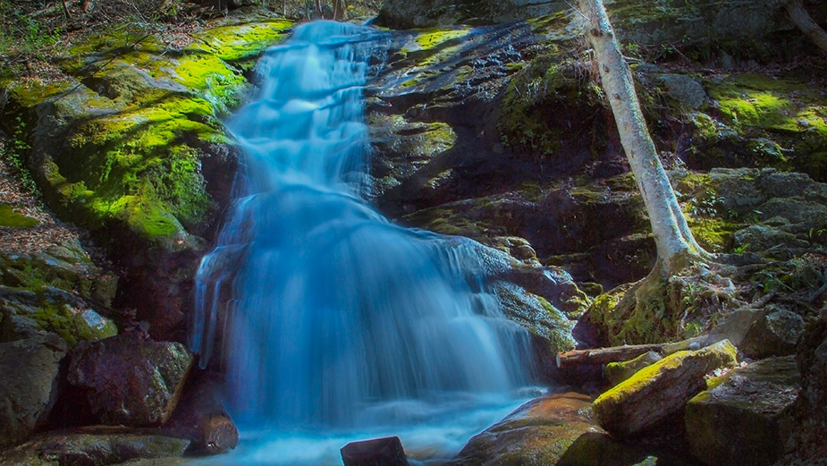
Crabtree Falls has the highest cascading vertical drop east of the Mississippi! At 1200 feet it is impossible to photograph as a whole but apparently, no one cares – it is one of the most popular waterfalls in Virginia!
Other waterfalls may be more scenic but the challenge of hiking Crabtree Creek to the top viewing platform (and beyond) is irresistible!

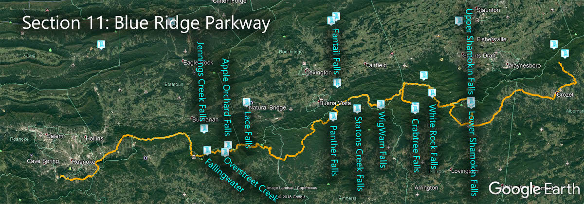
The Great Virginia Waterfall Trail
Crabtree Falls is in Section 11 of the Great Virginia Waterfall Trail which travels 170 of the Blue Ridge Parkway.
Directions
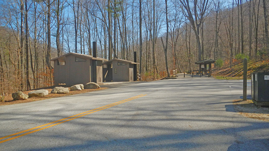
Most folks park in the lower parking lot just off VA-56 east of the Blue Ridge Parkway. You will hike uphill to see the Falls but the return hike is downhill!
Please note – there is a $3 per vehicle parking fee.
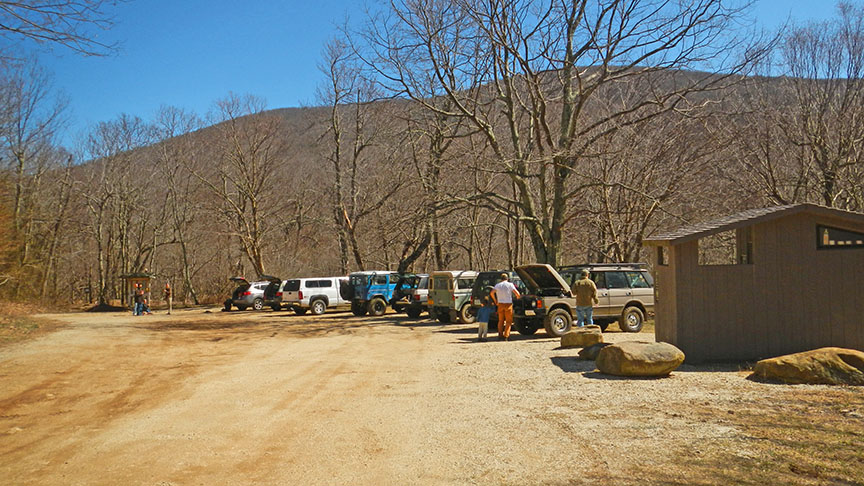
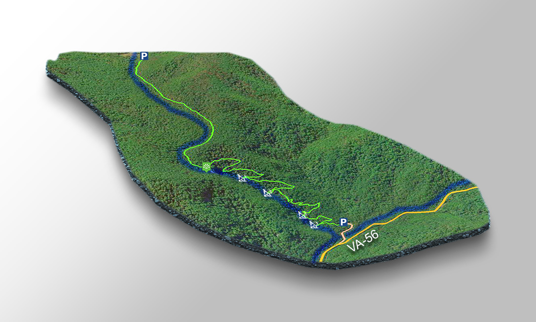
To avoid the crowds (to some degree) you can choose to park in the upper lot and then hike down. This means taking a right turn off VA-56 onto a bumpy dirt road (see our map please).

Trail Map
The Hike
There are 5 areas of interest. The Lower Falls is just a short distance from the parking area along a flat paved walkway accessible to wheelchairs and strollers.
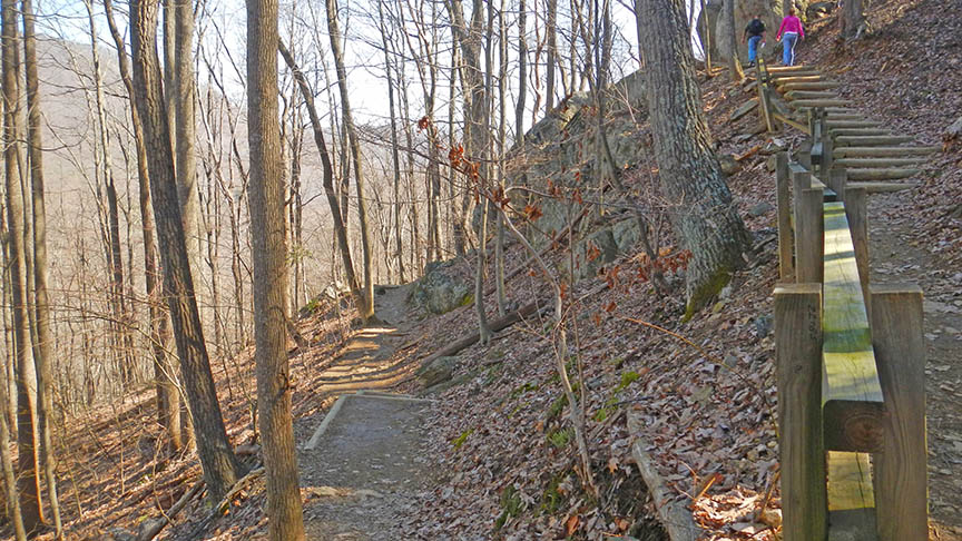
Then you hike uphill on a marked but steep trail with wooden steps and mileage markers.
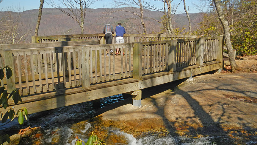
Several viewpoints allow you to view the Lower Mid Falls, the Upper Mid Falls, and the Upper Falls. Then at the top is a Viewing Platform (no waterfall views – it is a vista of the mountains).
It is 2.8 miles between the lower and upper parking lots. You will see all the cascades in the first 1.4 miles. The viewing platform at the top of the cascades is at 1.7 miles – meaning 3.4 miles return.
Trail Photos
Google Map of Virginia Waterfalls
Crabtree Falls is near Montebello on this Virginia Waterfalls map by Eben Schoeman.